/ Storm field report · Elbert

Hail in Ramah · Aug 19, 2026

NEXRAD logged 0 hail signatures up to 0"; the estimated-size surface reached 1.5" aloft. Open it on the live map to see the swath over the streets.

7-day free trial in the iPhone app. No card required to start.

For iPhone. Android coming soon.

Web trial: 7 days free. Card required. $150/month after the trial unless cancelled.

Peak hail signal 1.5" ≈ ping-pong ball · radar-estimated size aloft
Homes in the hail footprint 207
Ground reports 2 2 hail
Radar surfaces 2 NEXRAD + estimated size

Convective day · Aug 19, 2026 · noon–noon UTC

Severity

The 5th most severe storm Ramah has seen in the last 12 months

Composite score · 3.9 / 10
Storm severity score

Overview's storm severity score weighs hailstone size, homes in the footprint, and ground-truth reports.

3.9 /10
Peak hail signal
38 /100

Largest radar-indicated size — a signal of damage potential, not confirmation.

Homes exposed
46 /100

How many homes sit inside the storm's footprint.

Ground truth
33 /100

Independent storm reports filed with the NWS.

Evidence / storm surfaces

How Ramah saw the hail — from two instruments

Aug 19, 2026 · Ramah, CO

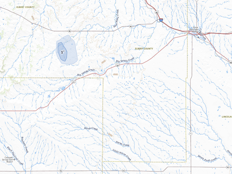
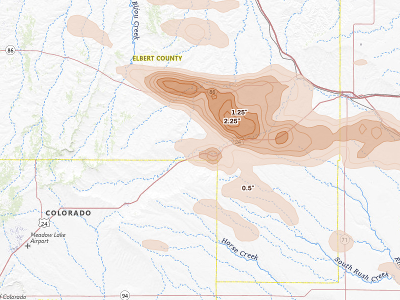
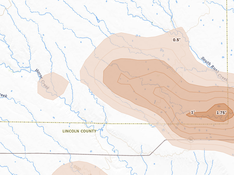
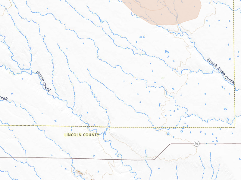
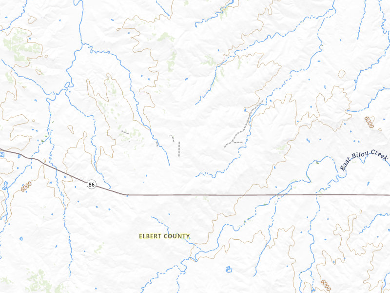
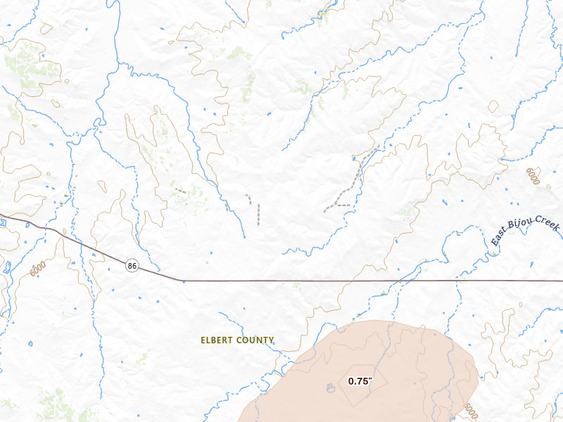
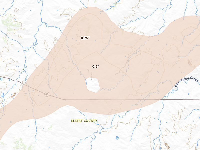
We map this storm two ways: the NEXRAD radar signatures the storm produced overhead, and the radar-estimated size of the hail in the air. The two surfaces don’t have to match — where they diverge is where estimated size aloft ran ahead of, or behind, what the signatures caught.
NEXRAD radar signatures Surface resolved
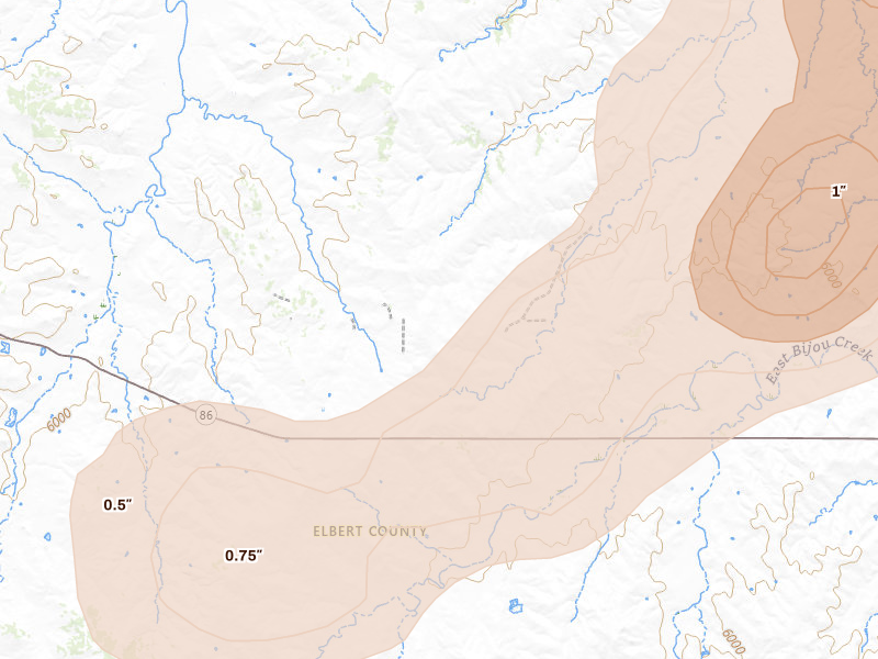
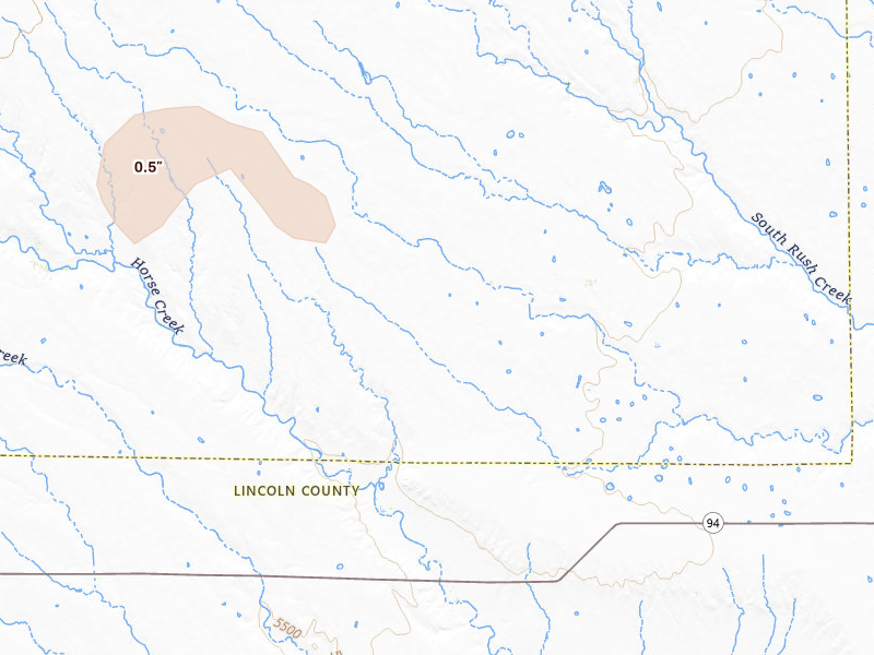
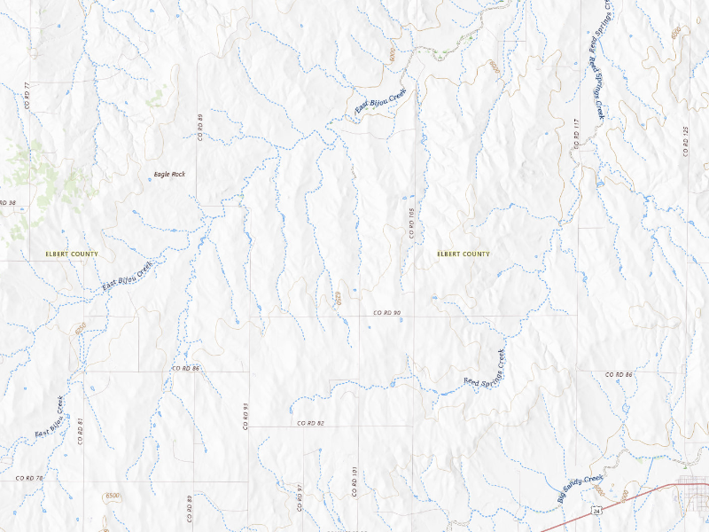
NEXRAD radar-signature map of the hail storm over Ramah, CO on Aug 19, 2026 Radar signature field

NEXRAD radar signatures — the point detections the storm produced overhead. A signature is where the radar saw hail, not a confirmed stone on the ground.
Max size 0" Detections 0
Radar-estimated hail size Surface resolved
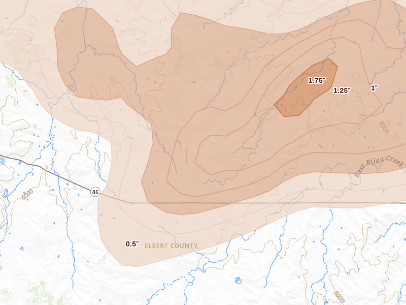
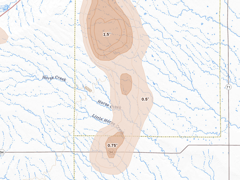
Radar-estimated hail-size map of the storm over Ramah, CO on Aug 19, 2026 Estimated size field

Maximum hail size as estimated from radar aloft. Treat it as the storm's ceiling — the largest supportable stone — rather than a ground measurement.

Max size 1.5"

The storm in context

Where Aug 19, 2026 sits in Ramah's hail record.

This was Ramah's 17th recorded hail day, arriving 1 day after the Aug 18, 2026 storm. By severity it ranks 5th of the 19 storms we have logged here. Radar put the day's largest stone over Ramah at 1.5" — radar-estimated size aloft.

The Aug 19, 2026 convective day was bigger than Ramah: the same system put hail over 496 other tracked cities, 30 of them in Colorado. Nearest: Calhan (11 miles west, up to 1.25"); Simla (11 miles north, up to 1.5"); Agate (14 miles north, up to 2").

These maps are stills. In the app this date is one of 19 Ramah storm dates on a live map — both surfaces, the reports, and a replay — and the same map is where you draw the swath. This page rebuilds nightly.

Ground reports

What people on the ground reported

2 reports filed with the NWS

These are storm reports filed with the National Weather Service and released through the NOAA Storm Prediction Center — public-domain observations from spotters, the public, and NWS surveys. We quote each one exactly as filed.

Hail reports

2 reports
Hail size 1"
9 NW Kutch Elbert County

“Time estimated based on radar data. (BOU)”

— NOAA / SPC storm report
Hail size 1"
6 SW Kutch Lincoln County

“Report from mPING: Quarter (1.00 in.). (BOU)”

— NOAA / SPC storm report

Storm forensics

How the storm moved

Timing and place names from NOAA ground reports

Read from the arrival times and locations of the NOAA ground reports, not a radar-measured storm track.

Hail was reported over 25 minutes, from to .

Reports came from Kutch — beyond Ramah itself.

High damage potential

What 1.5" hail means for Ramah roofs.

Hail around an inch and a half is capable of cracking shingles, stripping granules, and denting gutters, vents, and siding. Risk is usually greatest near the strongest radar signal, but property-level damage still requires an on-site inspection.

Radar reading · not confirmed damage

Roofing exposure

What this storm is worth to a roofer.

207 homes × $12,000 avg. claim

Potential roof exposure

$2.5M

Potential roof exposure — 207 homes × the ~$12,000 industry-average hail roof claim. Exposure, not confirmed damage.

Illustrative jobs
1 job
Illustrative work
~$15K

Close just 0.5% of the 207 homes in this footprint at the average $15,000 roof job. Illustrative math, not a projection — your results depend on your outreach and how the market responds.

Claim window

August 2028

Claims from this storm can typically be filed until around August 2028 — the window to reach these homeowners while it's still open. Deadlines vary by policy and state.

Names and phones for every home in the footprint: at most $43 on top of the $150 plan.
Ramah hail history

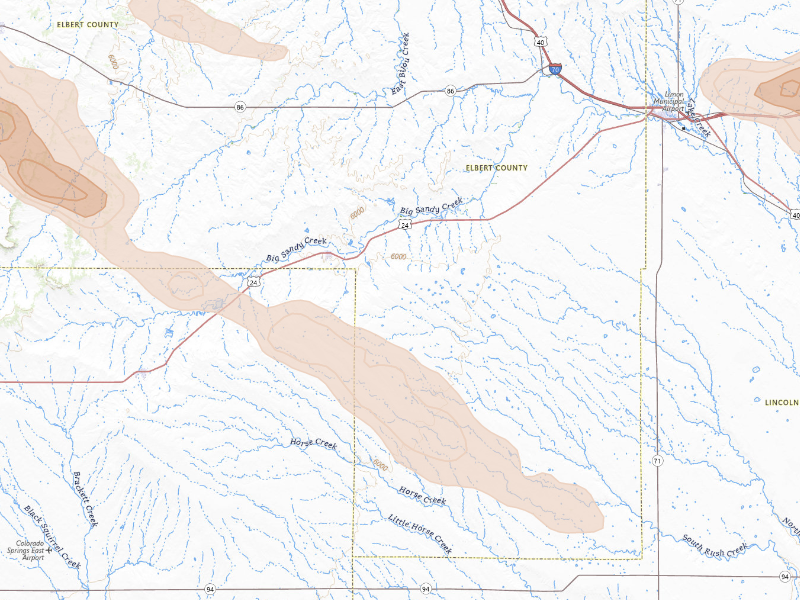
19 recorded storm days in Ramah, CO
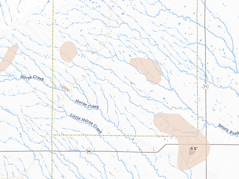
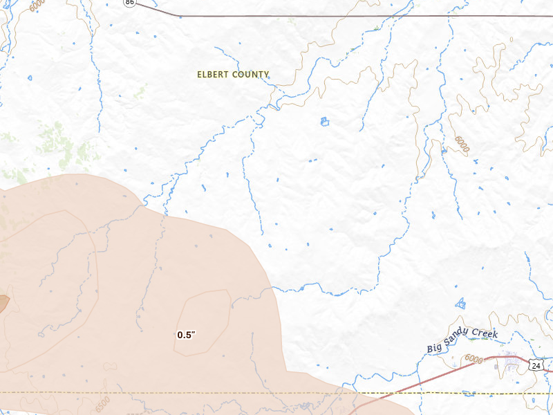
Radar-estimated hail-size map of the storm over Ramah, CO on Sep 20, 2026 Estimated-size surface
Storm date Ramah / CO

Sep 20, 2026

0.75"
Estimated 0.75"
No ground reports filed Open report →
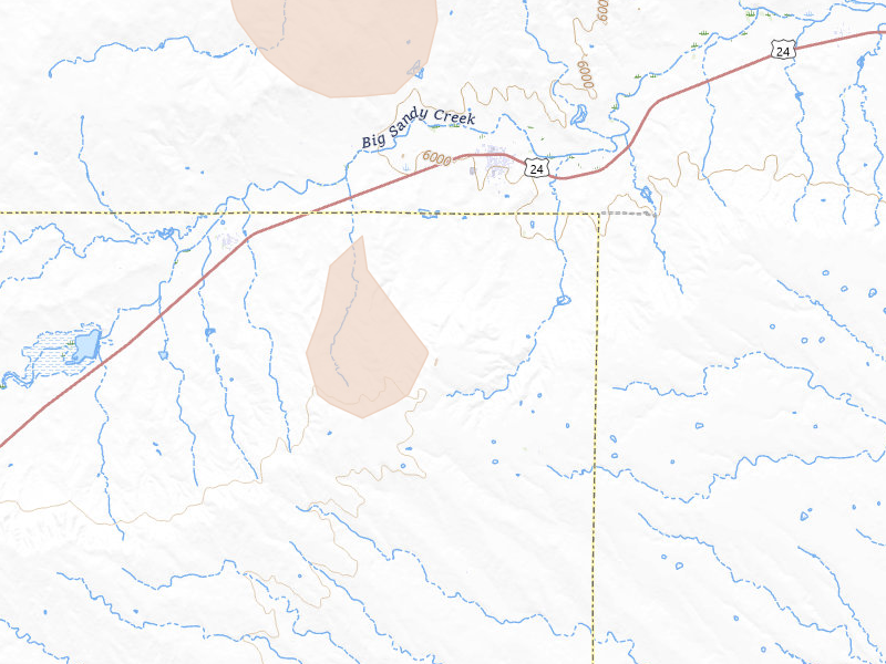
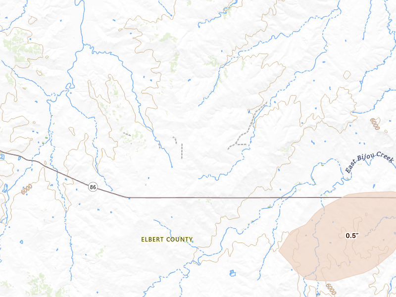
NEXRAD radar-signature map of the hail storm over Ramah, CO on Sep 18, 2026 NEXRAD surface
Storm date Ramah / CO

Sep 18, 2026

0.5"
Estimated 0.5"
No ground reports filed Open report →
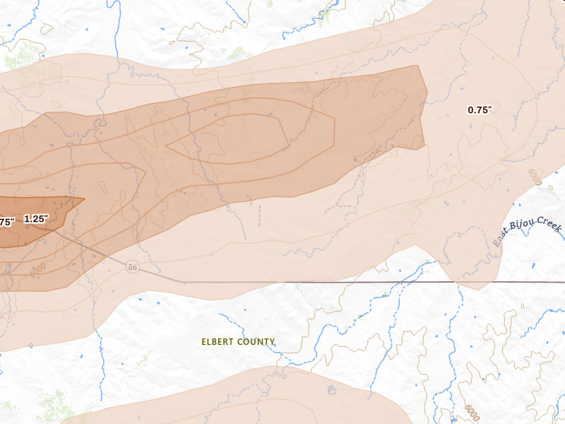
Radar-estimated hail-size map of the storm over Ramah, CO on Aug 18, 2026 Estimated-size surface
Storm date Ramah / CO

Aug 18, 2026

2.25"
Estimated 2.25"
No ground reports filed Open report →
Radar-estimated hail-size map of the storm over Ramah, CO on Aug 16, 2026 Estimated-size surface
Storm date Ramah / CO

Aug 16, 2026

1"
Estimated 1"
No ground reports filed Open report →
Radar-estimated hail-size map of the storm over Ramah, CO on Aug 13, 2026 Estimated-size surface
Storm date Ramah / CO

Aug 13, 2026

0.5"
Estimated 0.5"
No ground reports filed Open report →
Radar-estimated hail-size map of the storm over Ramah, CO on Jul 28, 2026 Estimated-size surface
Storm date Ramah / CO

Jul 28, 2026

3"
Signatures 3" Estimated 1.75"
No ground reports filed Open report →
Radar-estimated hail-size map of the storm over Ramah, CO on Jul 23, 2026 Estimated-size surface
Storm date Ramah / CO

Jul 23, 2026

0.75"
Signatures 0.75" Estimated 0.5"
No ground reports filed Open report →
Radar-estimated hail-size map of the storm over Ramah, CO on Jul 10, 2026 Estimated-size surface
Storm date Ramah / CO

Jul 10, 2026

1"
Signatures 1" Estimated 0.5"
No ground reports filed Open report →
Radar-estimated hail-size map of the storm over Ramah, CO on Jul 8, 2026 Estimated-size surface
Storm date Ramah / CO

Jul 8, 2026

1.25"
Signatures 1.25" Estimated 0.75"
No ground reports filed Open report →
Radar-estimated hail-size map of the storm over Ramah, CO on Jul 3, 2026 Estimated-size surface
Storm date Ramah / CO

Jul 3, 2026

1.75"
Signatures 1.75" Estimated 0.75"
No ground reports filed Open report →
Radar-estimated hail-size map of the storm over Ramah, CO on Jun 26, 2026 Estimated-size surface
Storm date Ramah / CO

Jun 26, 2026

1.25"
Signatures 1.25" Estimated 0.75"
No ground reports filed Open report →
Radar-estimated hail-size map of the storm over Ramah, CO on Jun 23, 2026 Estimated-size surface
Storm date Ramah / CO

Jun 23, 2026

1.75"
Estimated 1.75"
2 ground reports Open report →
Radar-estimated hail-size map of the storm over Ramah, CO on Jun 8, 2026 Estimated-size surface
Storm date Ramah / CO

Jun 8, 2026

2.5"
Signatures 2.5" Estimated 1.75"
1 ground report Open report →
Radar-estimated hail-size map of the storm over Ramah, CO on Jun 5, 2026 Estimated-size surface
Storm date Ramah / CO

Jun 5, 2026

1.75"
Signatures 1.75" Estimated 0.75"
No ground reports filed Open report →
Radar-estimated hail-size map of the storm over Ramah, CO on Jun 1, 2026 Estimated-size surface
Storm date Ramah / CO

Jun 1, 2026

1.25"
Signatures 1.25" Estimated 0.75"
2 ground reports Open report →
Radar-estimated hail-size map of the storm over Ramah, CO on May 17, 2026 Estimated-size surface
Storm date Ramah / CO

May 17, 2026

1"
Signatures 1" Estimated 0.5"
No ground reports filed Open report →
Radar-estimated hail-size map of the storm over Ramah, CO on May 9, 2026 Estimated-size surface
Storm date Ramah / CO

May 9, 2026

No ground reports filed Open report →
Radar-estimated hail-size map of the storm over Ramah, CO on Apr 27, 2026 Estimated-size surface
Storm date Ramah / CO

Apr 27, 2026

0.5"
Estimated 0.5"
No ground reports filed Open report →

The next storm won’t wait for you.

Set your territory and alerts today. When hail hits, use Overview to choose your streets and get moving.

7-day free trial in the iPhone app. No card required to start.

For iPhone. Android coming soon.

Open this storm on the live map → Start free trial

Web trial: 7 days free. Card required. $150/month after the trial unless cancelled.

A storm day here is a convective day — it runs from noon to noon UTC, so late-night hail is grouped with the afternoon storm that spawned it rather than split across two calendar dates. Ground reports are public-domain observations from the NOAA Storm Prediction Center. Radar tells you where to look. Only an inspection confirms damage at an address. Last updated Sep 21, 2026.