Storm report · Tyrrell

Hail in Columbia Jun 14, 2026

The radar-estimated size surface caught this storm, reaching 1.25" aloft. NEXRAD logged no point detections over Columbia this day.

Largest hailstone

1.25"

≈ half-dollar · radar-estimated size aloft
Homes in the hail footprint

146

Ground reports

1

1 hail
Severity

The most severe storm Columbia has seen in the last 12 months

Storm severity score

Overview's storm severity score weighs hailstone size, homes in the footprint, and ground-truth reports.

3.2 /10
Hail size
31 /100

Largest hailstone — the top predictor of roof damage.

Homes exposed
43 /100

How many homes sit inside the storm's footprint.

Ground truth
17 /100

Independent storm reports filed with the NWS.

Two ways to read the storm

How Columbia saw the hail — from two instruments

Each storm gets two readings: the radar signatures NEXRAD recorded as the cells passed overhead, and a modeled estimate of hail size in the air. They are independent surfaces, so a mismatch between them is expected — and worth reading.

Radar-estimated hail size
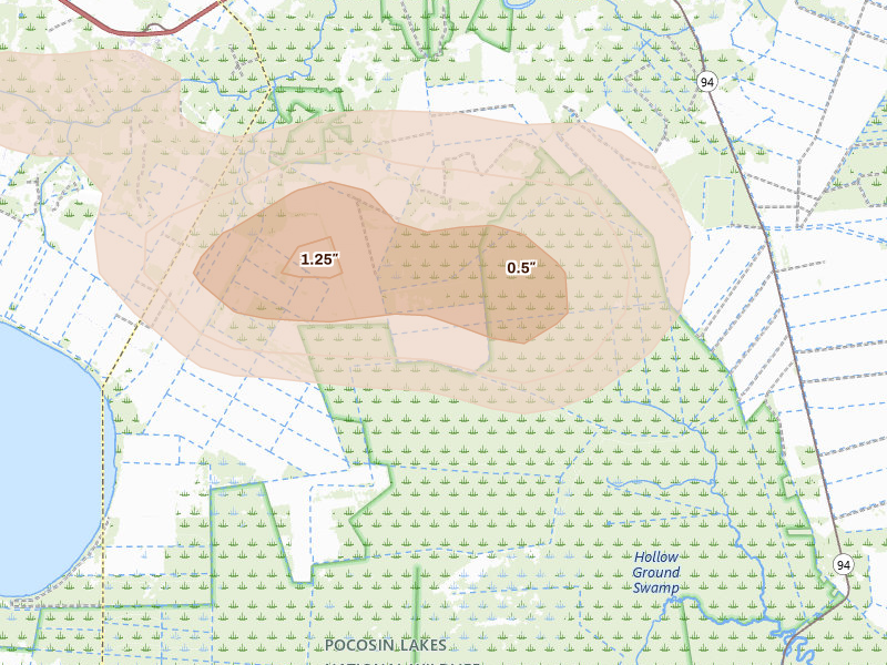
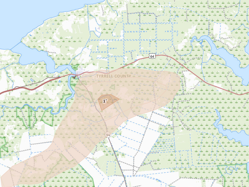
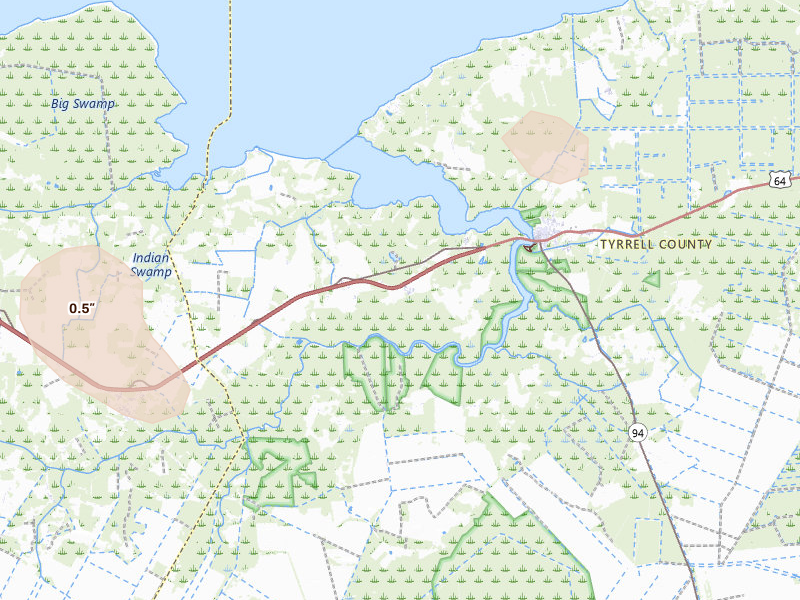
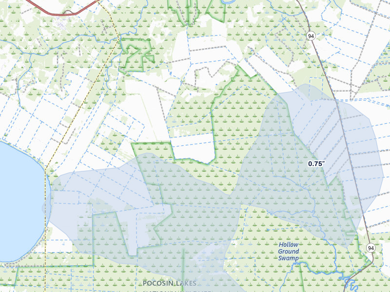
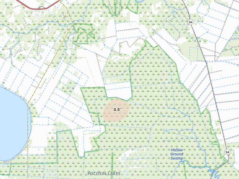
Radar-estimated hail-size map of the storm over Columbia, NC on Jun 14, 2026

Radar-estimated hail size over the swath. The model reports the biggest stone the storm could sustain in the air; what actually fell may have been smaller.

Max size 1.25"

Only the radar-estimated size surface resolved for Jun 14, 2026 — this storm produced no NEXRAD point detections over Columbia, so there is one map to show, not two.

The storm in context

Where Jun 14, 2026 sits in Columbia's hail record

This was Columbia's 1st recorded hail day — the first hail day in our records for the city. By severity it ranks 1st of the 3 storms we have logged here. Radar put the day's largest stone over Columbia at 1.25" — radar-estimated size aloft.

The Jun 14, 2026 convective day was bigger than Columbia: the same system put hail over 144 other tracked cities, 20 of them in North Carolina. Nearest: Scranton (29 miles southwest, up to 1"); Belhaven (35 miles southwest, up to 1"); Pinetown (42 miles west, up to 0.5").

These maps are stills from Columbia's Jun 14, 2026 storm. In the Overview app the same surfaces are live — radar updating in real time, radar-estimated hail size as it forms, and NWS spotter reports pinned where they're filed — with a radar replay you can scrub back over any past day.

Ground reports

What people on the ground reported

These are storm reports filed with the National Weather Service and released through the NOAA Storm Prediction Center — public-domain observations from spotters, the public, and NWS surveys. We quote each one exactly as filed.

Hail reports

1 report
Hail size 1"
5 SE Woodley Tyrrell County

“Delayed report. Caller estimated dime to quarter size hail at their location. They also said the wind was very strong but did not have an estimate. They noted a lot of (MHX)”

— NOAA / SPC storm report
Storm forensics

How the storm moved

Reports came from Woodley — beyond Columbia itself.

Read from the arrival times and locations of the NOAA ground reports, not a radar-measured storm track.
Shingle-bruising hail

What 1.25" hail means for Columbia roofs

Quarter-size and larger hail is where asphalt shingle damage starts in earnest: bruised mats and granule loss that homeowners can't see from the ground. Most people inside the footprint won't know their roof was hit until someone inspects it.

What this storm is worth to a roofer

$1.8M

Potential roof exposure — 146 homes × the ~$12,000 industry-average hail roof claim. Exposure, not confirmed damage.
Illustrative jobs
1 job
Illustrative work
~$15K
Close just 0.5% of the 146 homes in this footprint at the average $15,000 roof job. Illustrative math, not a projection — your results depend on your outreach and how the market responds.
Claims from this storm can typically be filed until around June 2028 — the window to reach these homeowners while it's still open. Deadlines vary by policy and state.

Track hail over Columbia on the live map

Radar updates in real time, spotter reports appear on the map as they're filed, and the full Columbia storm history — this Jun 14, 2026 storm included — sits underneath. When you're ready, draw this storm's footprint and pull highly accurate homeowner contact information for every address inside it.

Highly accurate contact information starting at $0.23 per address — every contact included. Digital leads cost $15–$40. Start with a 7-day free trial — no credit card required. See pricing

Columbia hail history

3 recorded storm days in Columbia, NC

← All hail in Columbia

Other storms in Columbia

A storm day here is a convective day — it runs from noon to noon UTC, so late-night hail is grouped with the afternoon storm that spawned it rather than split across two calendar dates. Ground reports are public-domain observations from the NOAA Storm Prediction Center. Radar surfaces are detections and estimates, not confirmed damage. Last updated Aug 3, 2026.