
Hail size 1.25"
1 NE Cedar Pass Jackson County
“mPING report (UNR)”
— NOAA / SPC storm report
NEXRAD logged 0 hail signatures up to 0"; the estimated-size surface reached 1.5" aloft. Open it on the live map to see the swath over the streets.
7-day free trial in the iPhone app. No card required to start.
For iPhone. Android coming soon.
Web trial: 7 days free. Card required. $150/month after the trial unless cancelled.
Convective day · Aug 11, 2026 · noon–noon UTC
Severity
Overview's storm severity score weighs hailstone size, homes in the footprint, and ground-truth reports.
Largest radar-indicated size — a signal of damage potential, not confirmation.
How many homes sit inside the storm's footprint.
Independent storm reports filed with the NWS.
Evidence / storm surfaces
The maps here read the same storm from two angles — point detections from NEXRAD, and modeled hail size aloft. Where the two disagree is informative: it marks where estimated size outran the signatures, or trailed them.
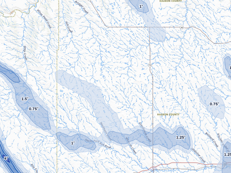 Radar signature field
Where NEXRAD flagged hail as the storm passed — point signatures from the radar, which indicate hail overhead rather than confirm what landed.
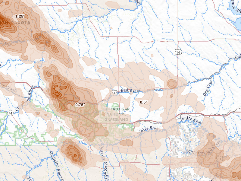 Estimated size field
The modeled maximum hail size across the swath, derived from radar aloft — the largest stone the storm could have supported, which is not necessarily what reached the ground.
The storm in context
This was Philip's 13th recorded hail day, arriving 1 day after the Aug 10, 2026 storm. By severity it ranks 4th of the 14 storms we have logged here. Radar put the day's largest stone over Philip at 1.5" — radar-estimated size aloft.
The Aug 11, 2026 convective day was bigger than Philip: the same system put hail over 1,041 other tracked cities, 44 of them in South Dakota. Nearest: Quinn (10 miles west, up to 2.5"); Wall (22 miles southwest, up to 2.75"); Howes (25 miles north, up to 0.5").
These maps are stills. In the app this date is one of 14 Philip storm dates on a live map — both surfaces, the reports, and a replay — and the same map is where you draw the swath. This page rebuilds nightly.
Ground reports
These are storm reports filed with the National Weather Service and released through the NOAA Storm Prediction Center — public-domain observations from spotters, the public, and NWS surveys. We quote each one exactly as filed.
“mPING report (UNR)”
— NOAA / SPC storm report
“(UNR)”
— NOAA / SPC storm report
“(UNR)”
— NOAA / SPC storm report
“(UNR)”
— NOAA / SPC storm report
“(UNR)”
— NOAA / SPC storm report
“(UNR)”
— NOAA / SPC storm report
Storm forensics
Read from the arrival times and locations of the NOAA ground reports, not a radar-measured storm track.
Hail was reported over 20 minutes, from to .
Reports came from Cedar Pass, Cactus Flat, and Cottonwood — beyond Philip itself.
High damage potential
Hail around an inch and a half is capable of cracking shingles, stripping granules, and denting gutters, vents, and siding. Risk is usually greatest near the strongest radar signal, but property-level damage still requires an on-site inspection.
Radar reading · not confirmed damage
Roofing exposure
Potential roof exposure
$17M
Potential roof exposure — 1,437 homes × the ~$12,000 industry-average hail roof claim. Exposure, not confirmed damage.
Close just 0.5% of the 1,437 homes in this footprint at the average $15,000 roof job. Illustrative math, not a projection — your results depend on your outreach and how the market responds.
Claim window
August 2028
Claims from this storm can typically be filed until around August 2028 — the window to reach these homeowners while it's still open. Deadlines vary by policy and state.
Names and phones for every home in the footprint: at most $302 on top of the $150 plan.
Philip hail history
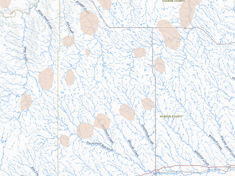 Estimated-size surface
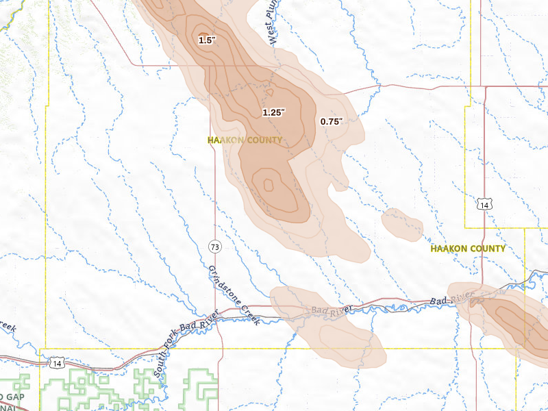 Estimated-size surface
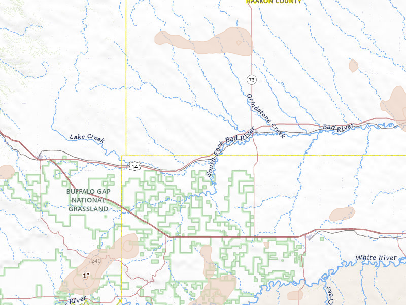 Estimated-size surface
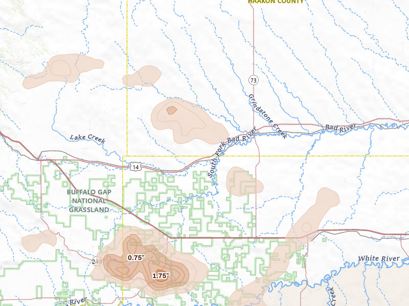 Estimated-size surface
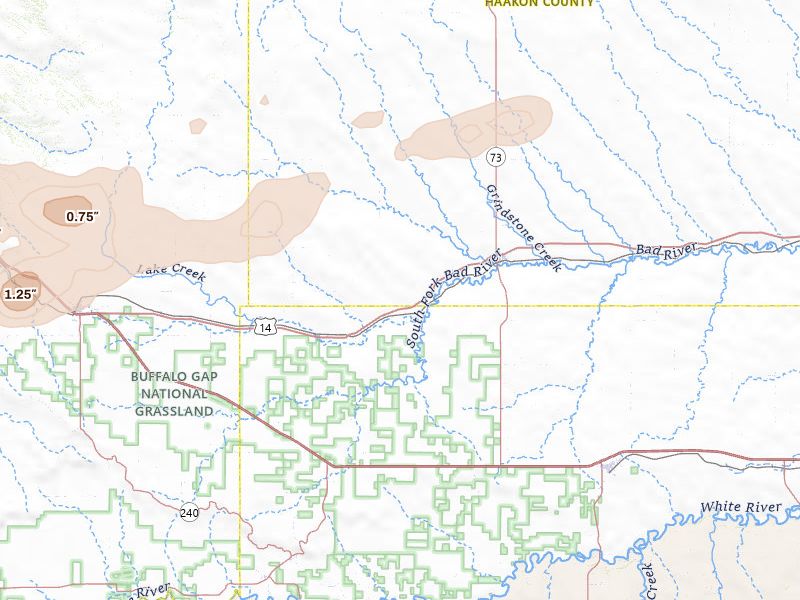 Estimated-size surface
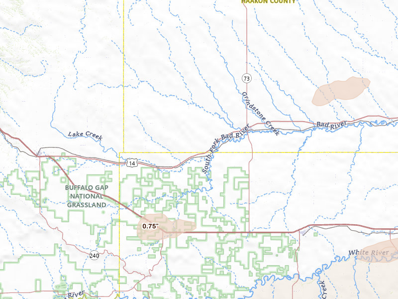 Estimated-size surface
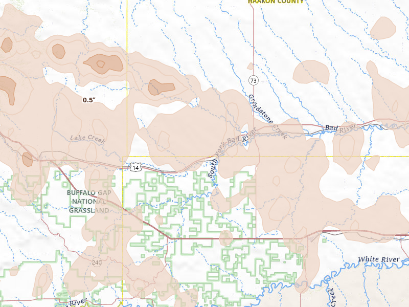 Estimated-size surface
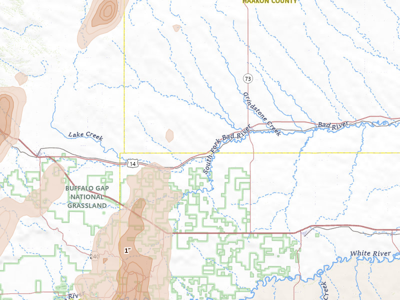 Estimated-size surface
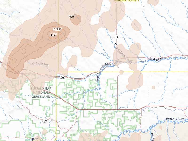 Estimated-size surface
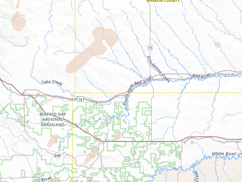 Estimated-size surface
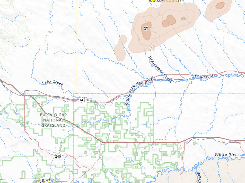 Estimated-size surface
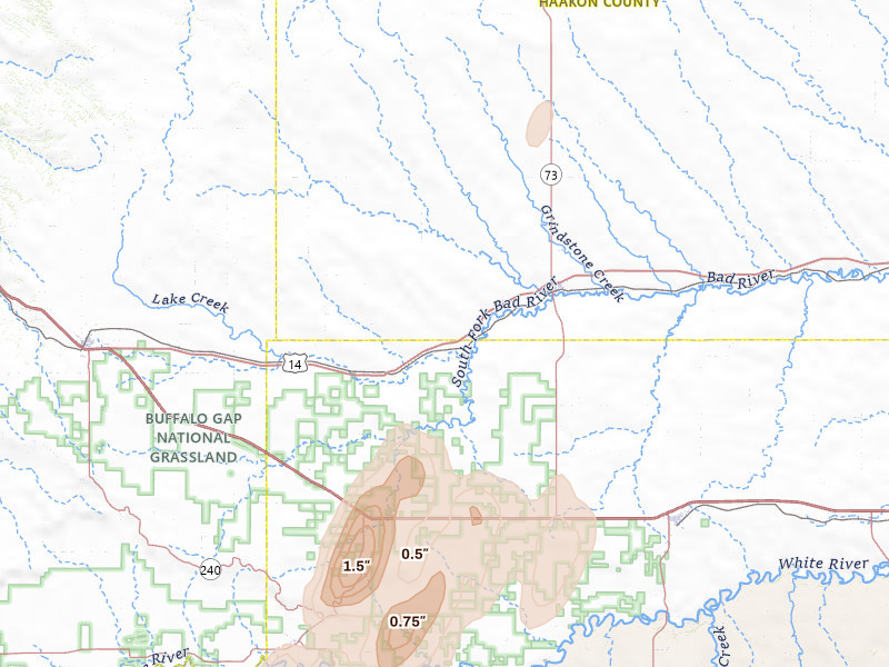 Estimated-size surface
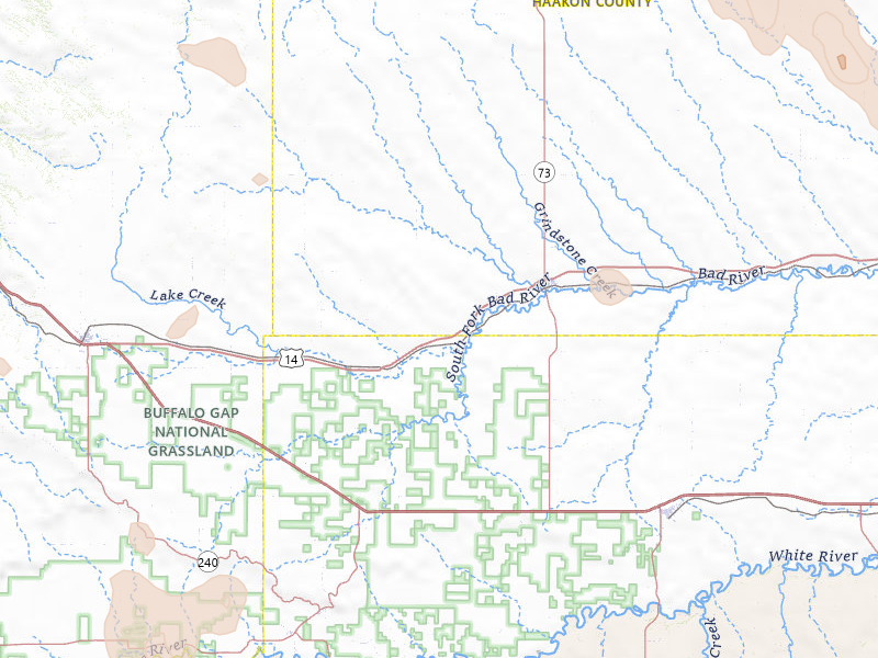 Estimated-size surface
Set your territory and alerts today. When hail hits, use Overview to choose your streets and get moving.

7-day free trial in the iPhone app. No card required to start.
For iPhone. Android coming soon.
Web trial: 7 days free. Card required. $150/month after the trial unless cancelled.