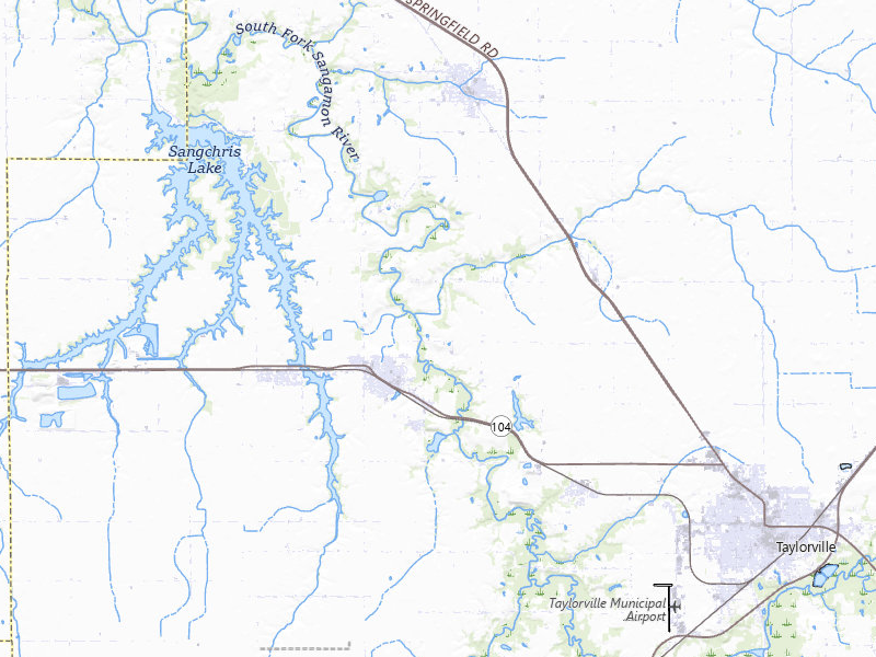
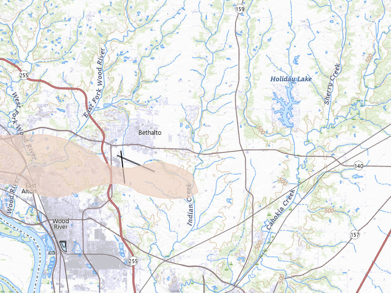
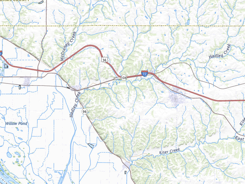
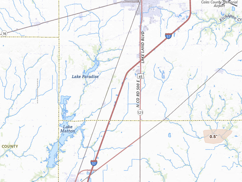
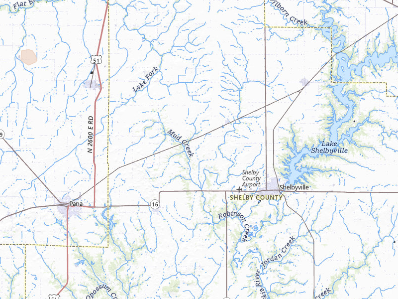
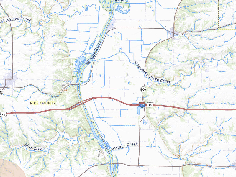
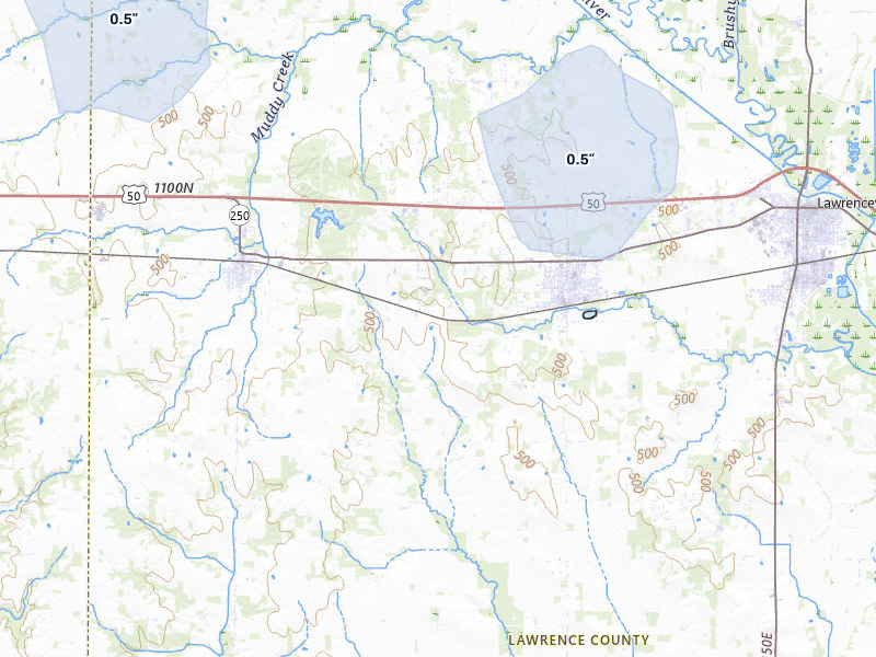
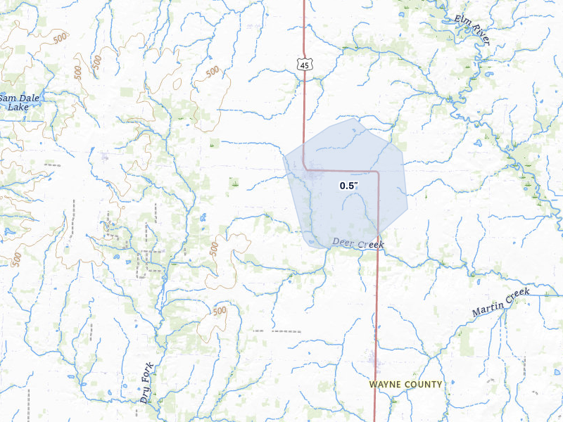
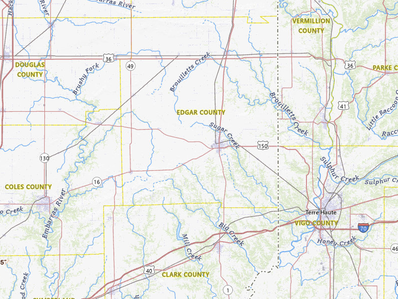
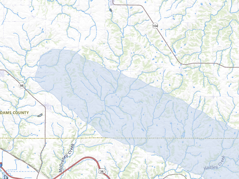
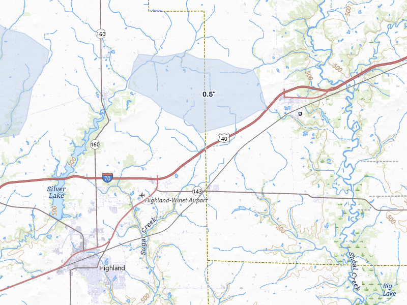
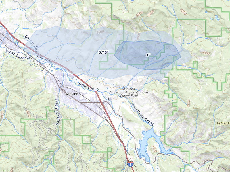
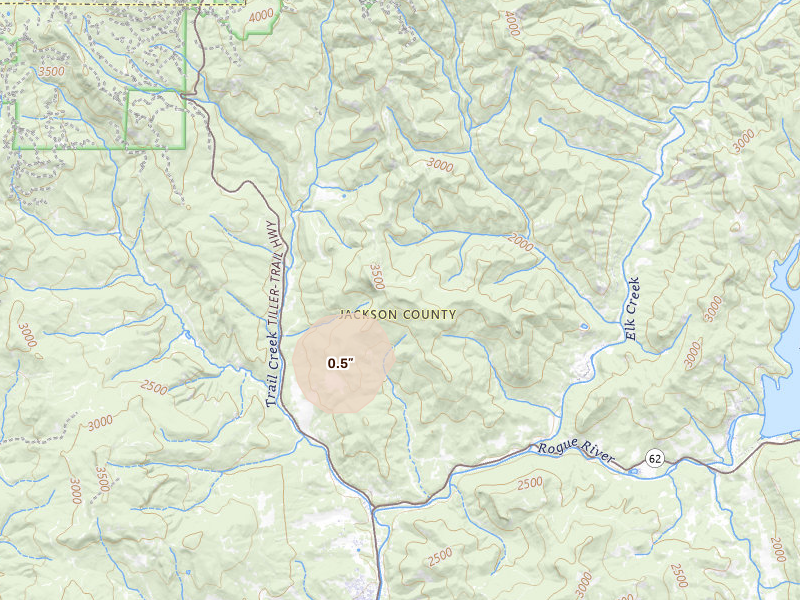
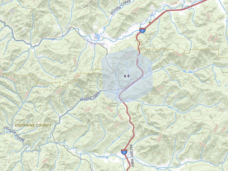
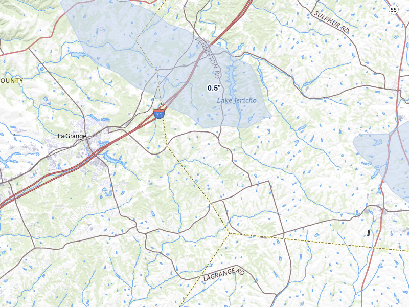
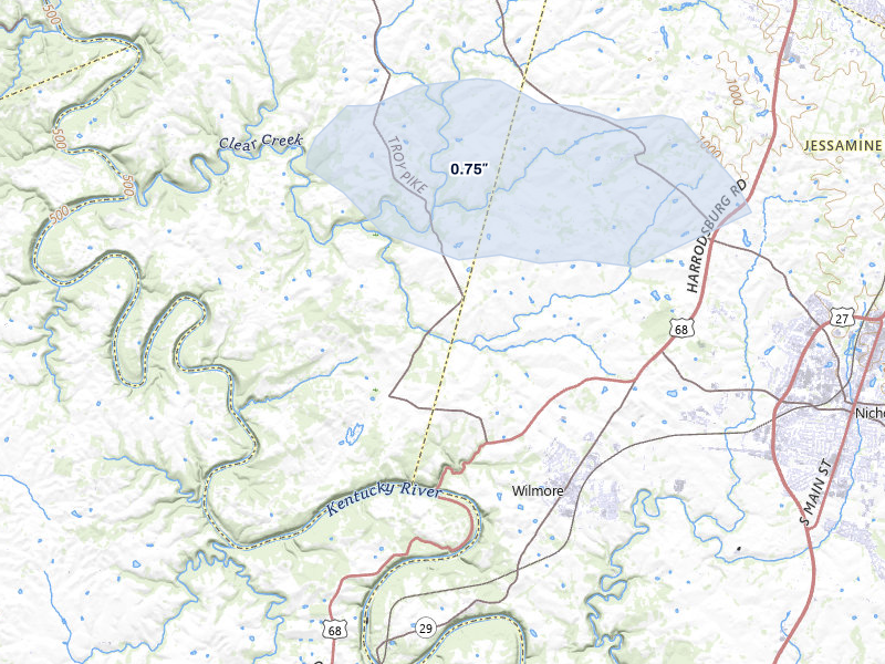
Hail storms on May 3, 2026

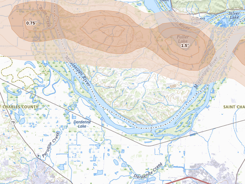
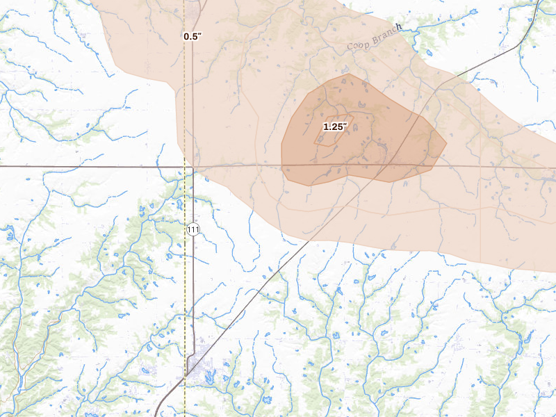
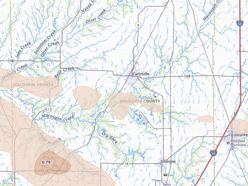
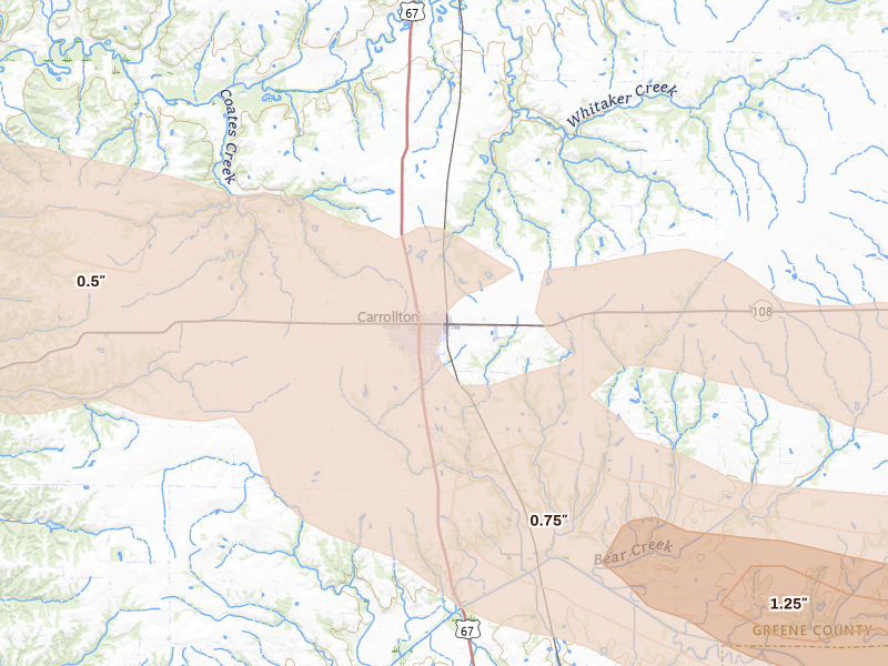
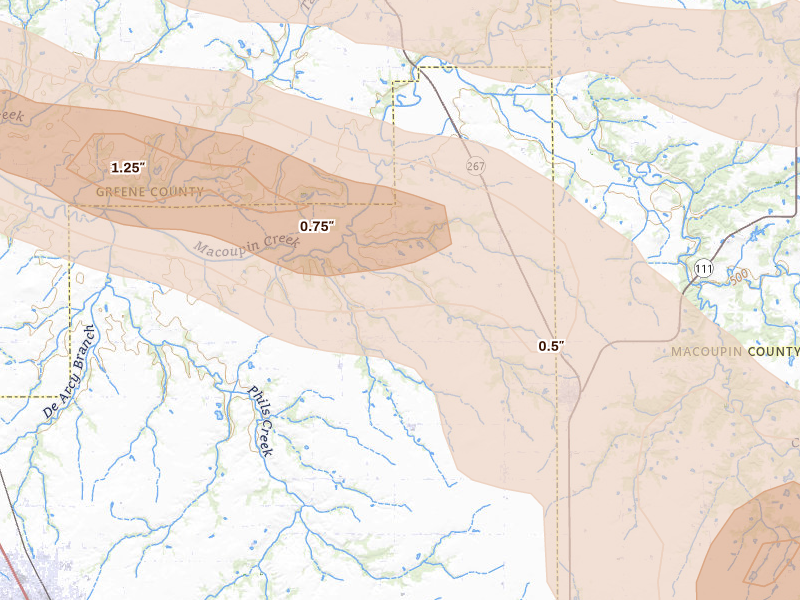
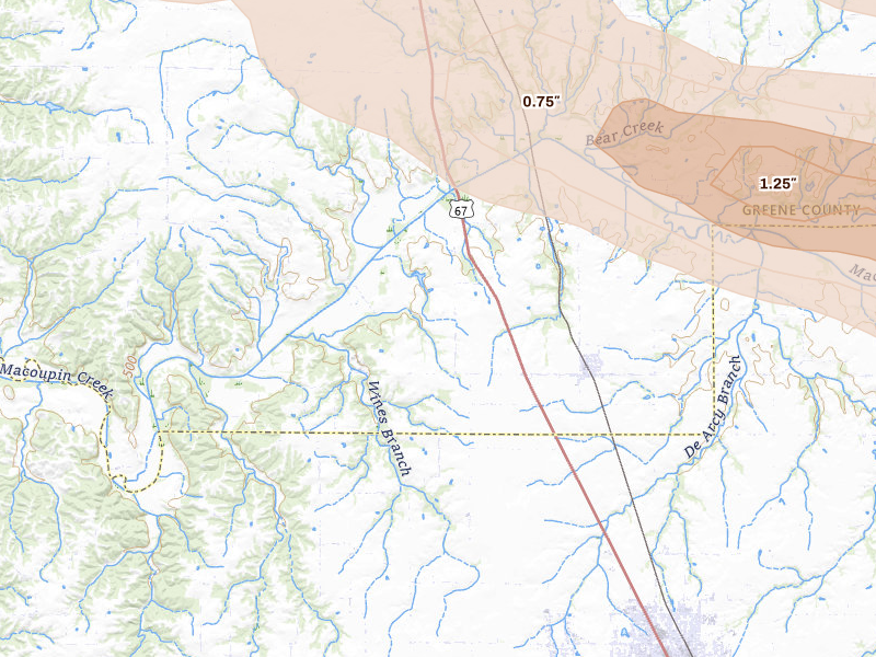
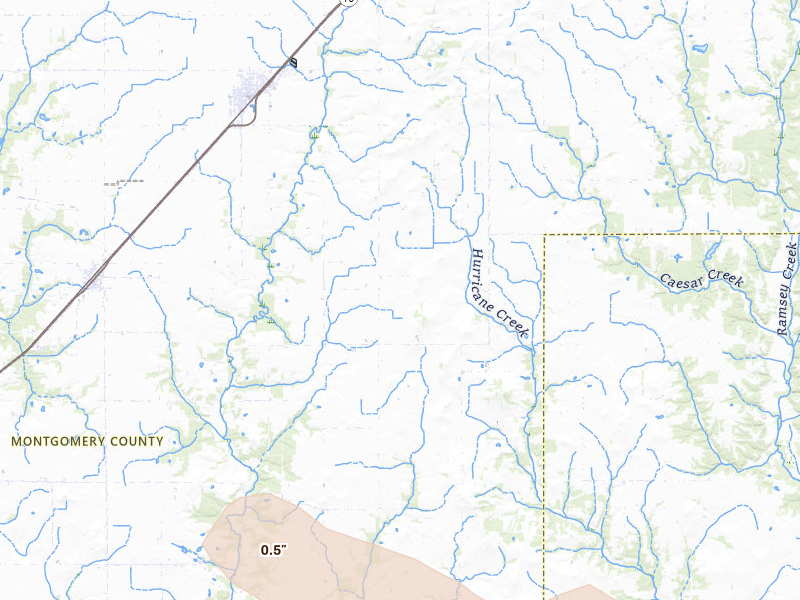
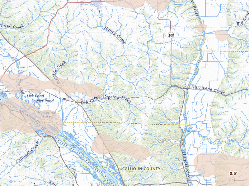
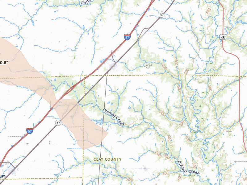
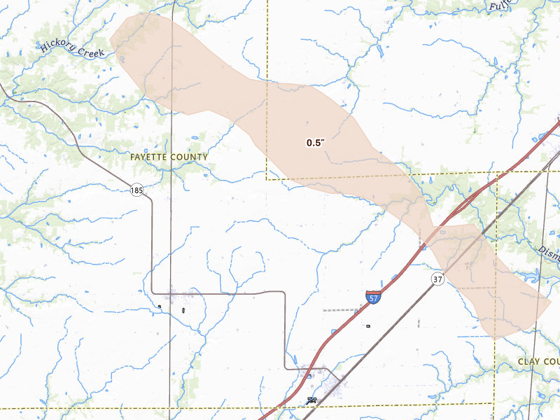
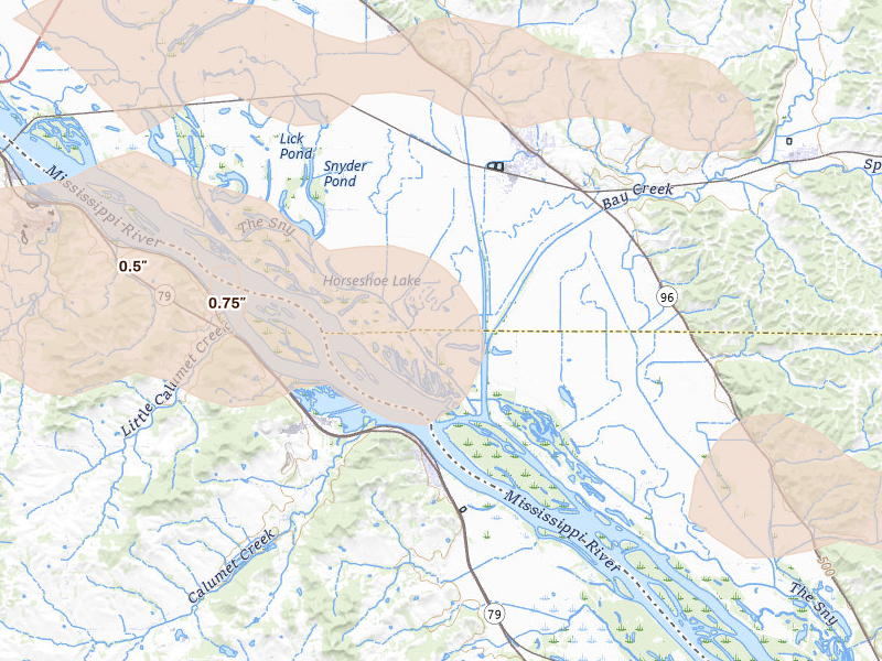
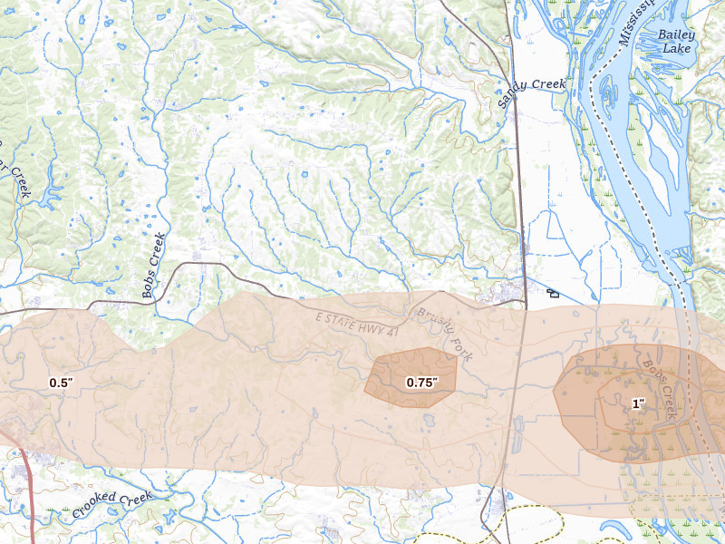
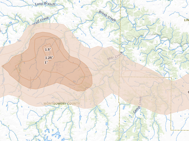
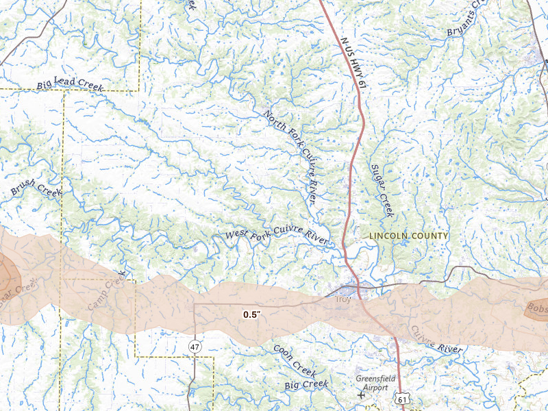
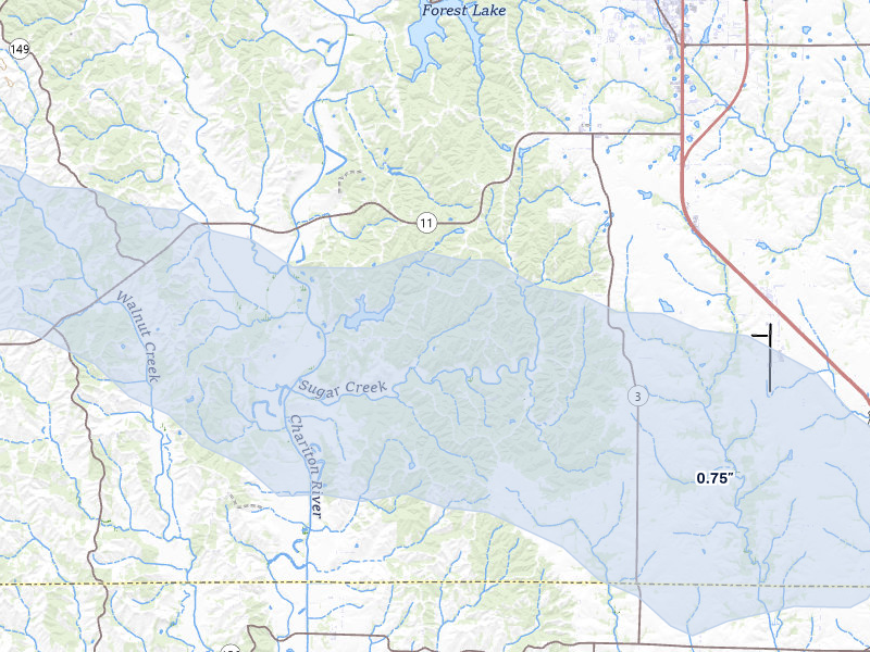
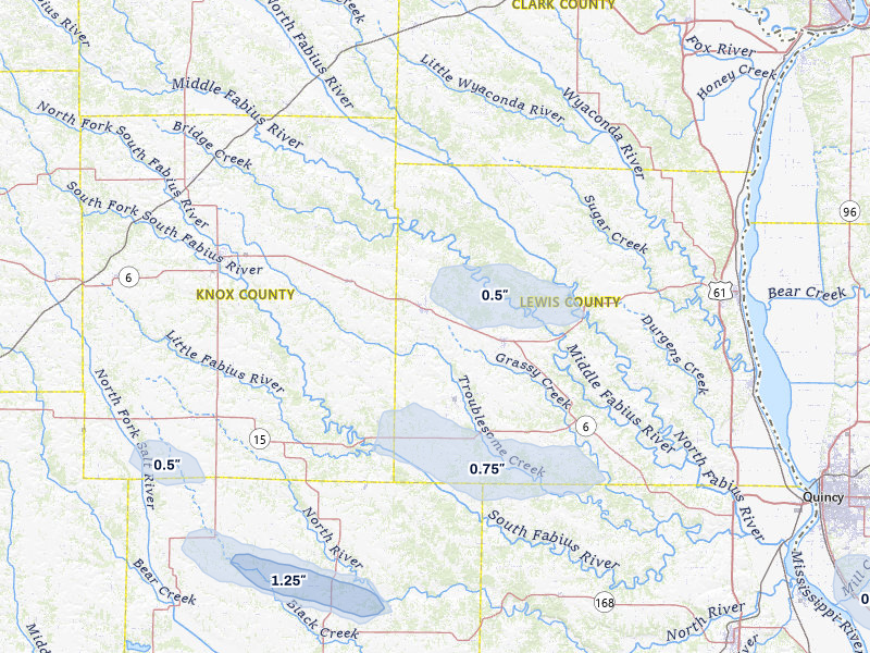
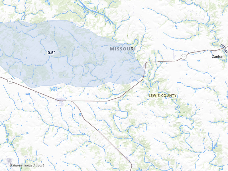
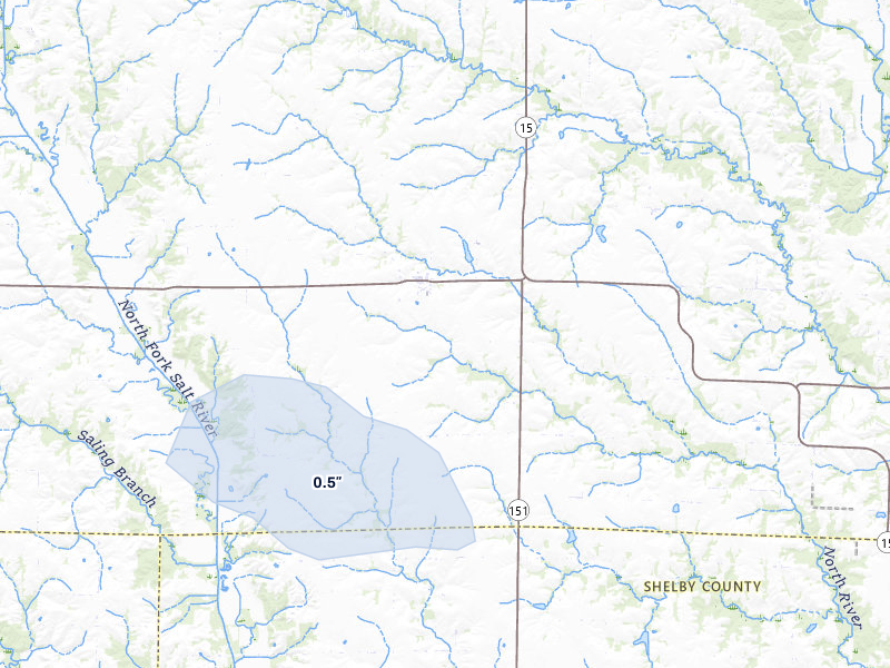
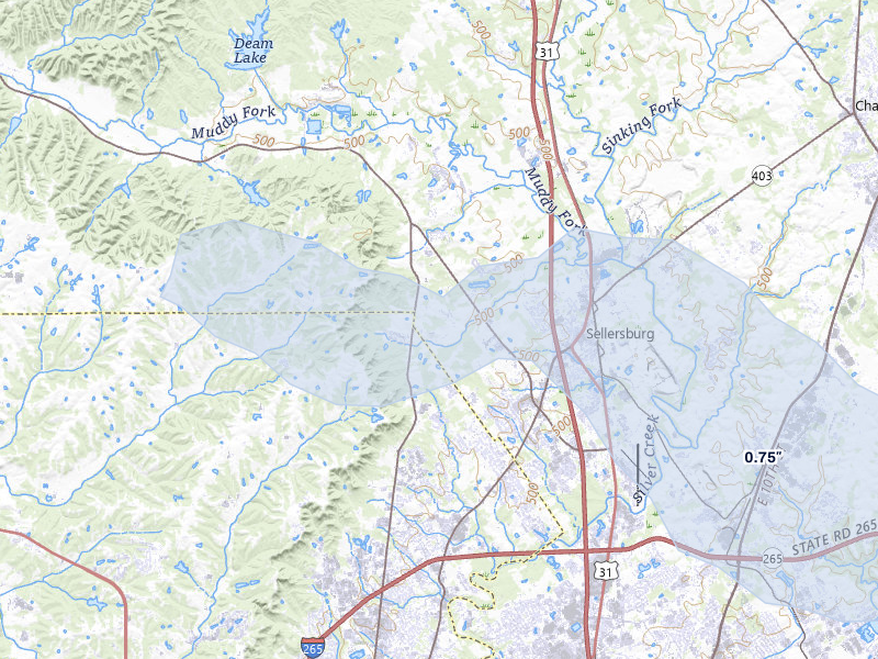
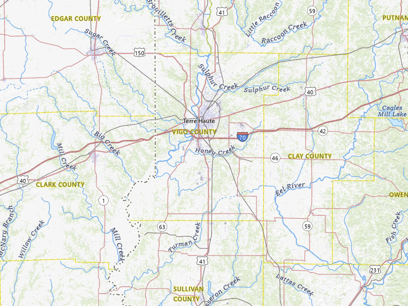
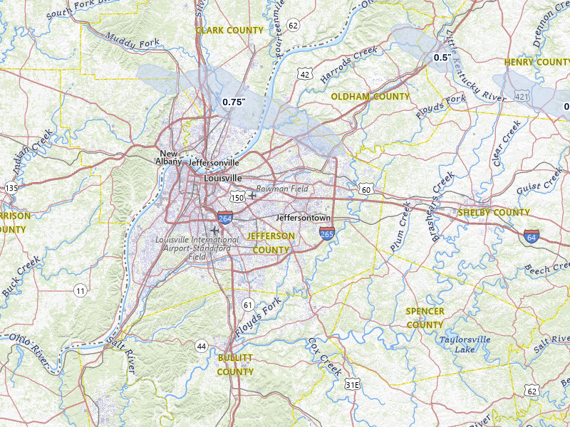
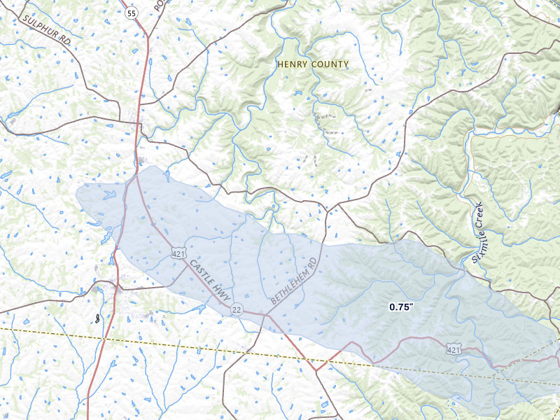
116 cities across 8 states recorded hail on May 3, 2026 — a multi-state outbreak. The peak radar-indicated size reached 2.5" over Truxton — about the size of a baseball. That is a severe hail signal, not property-level damage confirmation.

Download on the App Store

7-day free trial in the iPhone app. No card required to start.

For iPhone. Android coming soon.

Web trial: 7 days free. Card required. $150/month after the trial unless cancelled.

Cities hit 116 across 8 states
Peak hail signal 2.5" ≈ baseball · Truxton
Homes in footprints 51,064
Ground reports 18

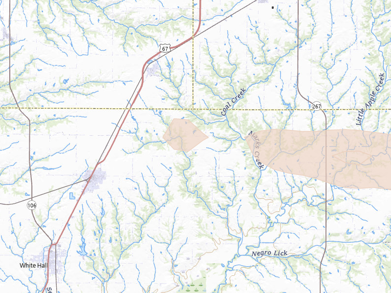
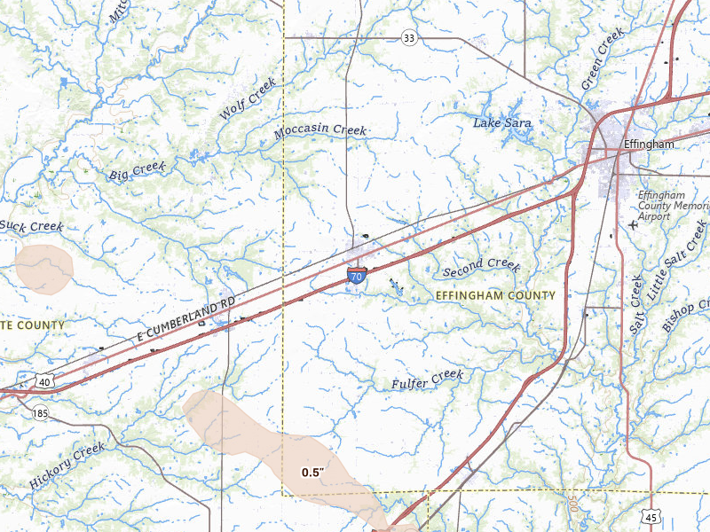
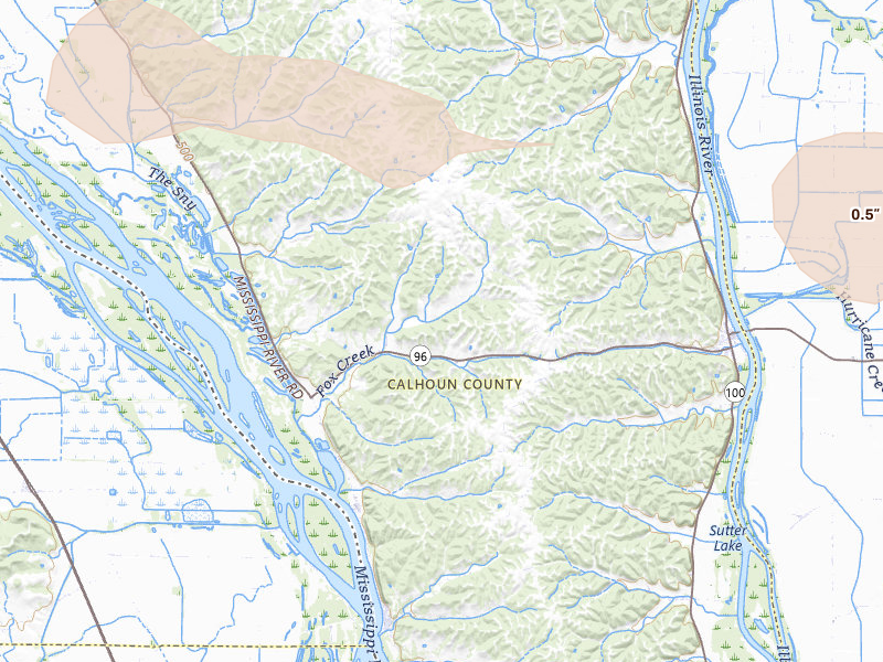
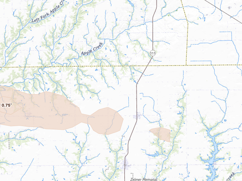
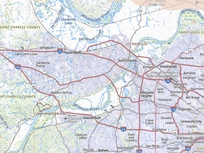
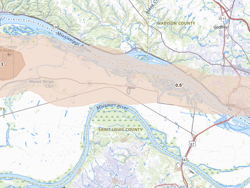
May 3, 2026 · Truxton, MO: 2.5" peak radar signal · NEXRAD + radar-estimated size maps

Mapped cities, by state

Every tracked city with a hail signal on May 3, 2026

116 cities · up to 2.5" · 51,064 mapped homes · noon-to-noon UTC

Every tracked city that recorded hail on this convective day, biggest signal first. Each row opens that city's full storm record.

How to read this day

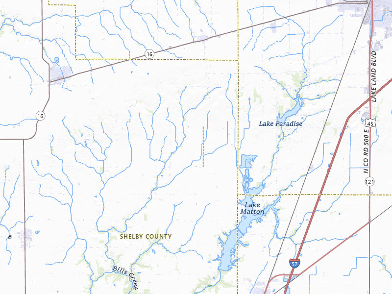
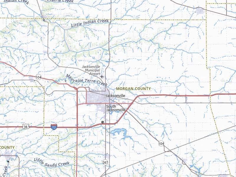
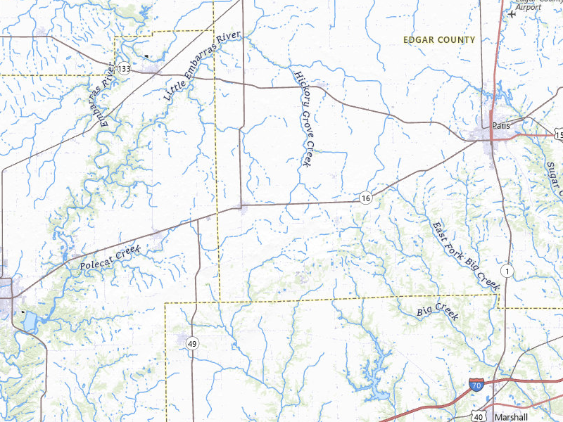
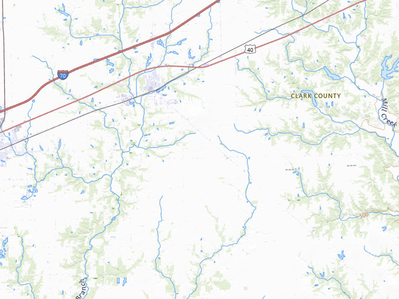
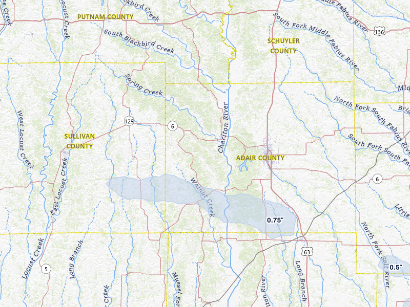
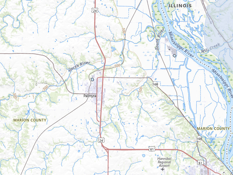
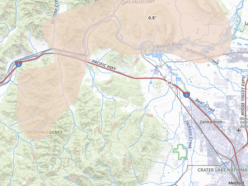
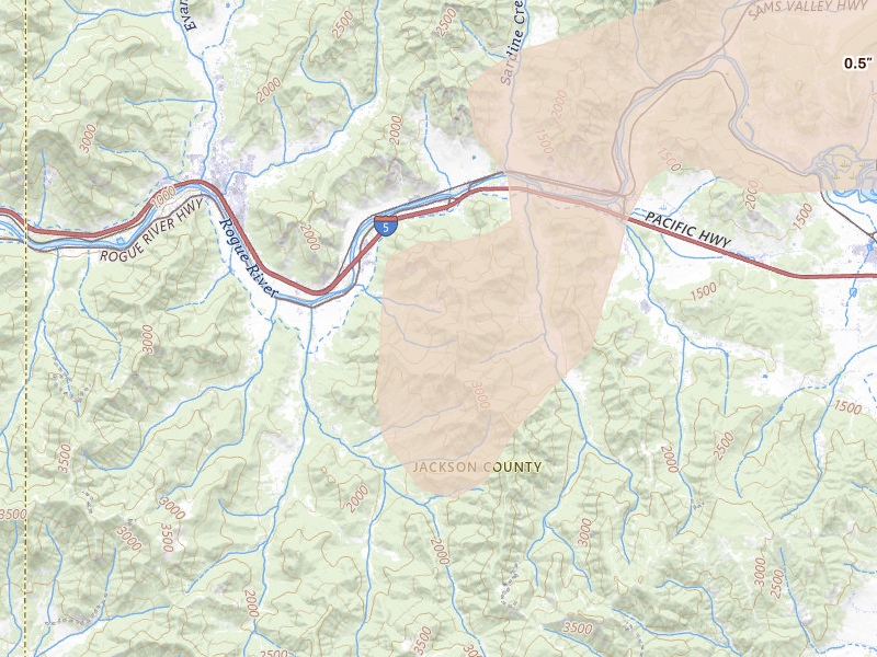
A storm day on Overview is a convective day — it runs from noon to noon UTC, so late-night hail is grouped with the afternoon storm that spawned it rather than split across two calendar dates. Everything below happened inside the May 3, 2026 convective day. Across those footprints sit roughly 51,064 homes, and 18 ground reports were filed with the National Weather Service.

The cities are listed with the biggest storm first, measured by Overview's severity score. Each row links through to that city's own storm page, where you'll find the radar surfaces, every ground report filed, and the hail footprint drawn on the map.

The counts here are the size of the set of cities Overview tracks — never "every US city" — so read a quiet day as "quiet among the places we watch," not as proof nothing happened elsewhere.

Illinois

64 cities · up to 2.5" · 32,397 mapped homes
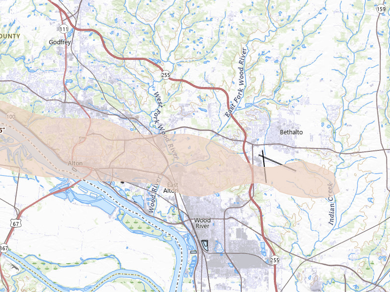
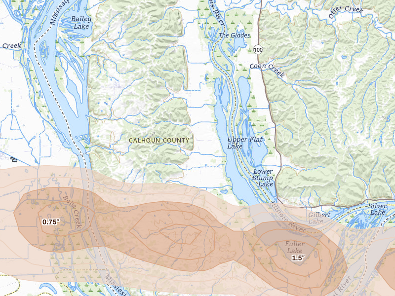
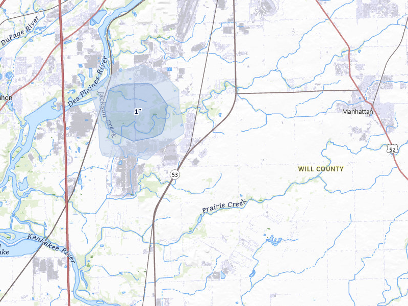
Alton, IL 6.2 /10 severity
1.75" peak signal 16,098 mapped homes 8 ground reports
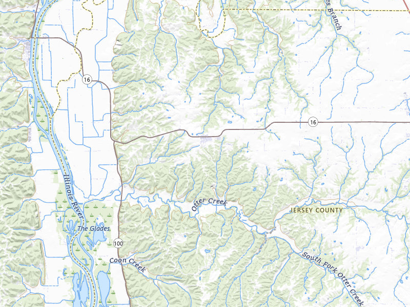
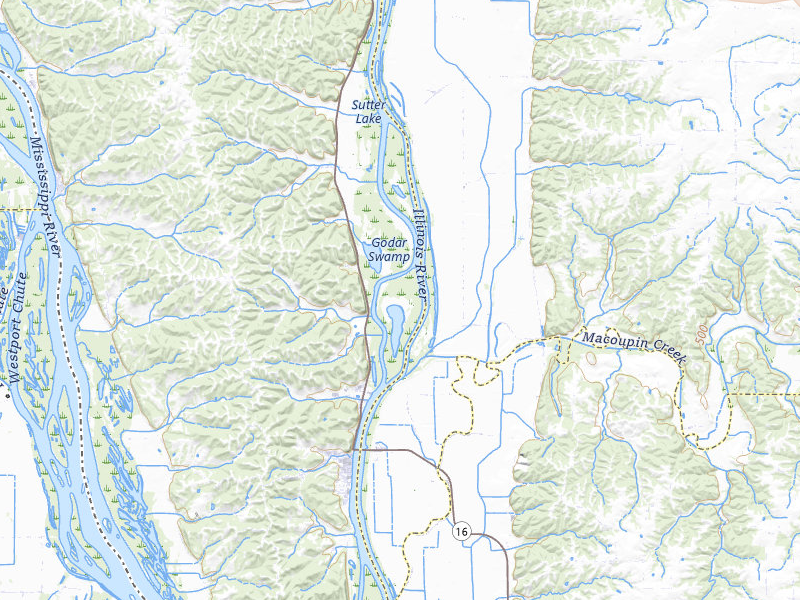
Brussels, IL 5.2 /10 severity
2.5" peak signal 655 mapped homes No ground reports
Golden Eagle, IL 5.2 /10 severity
2.5" peak signal 779 mapped homes No ground reports
Shipman, IL 4.6 /10 severity
1.75" peak signal 2,751 mapped homes 1 ground report
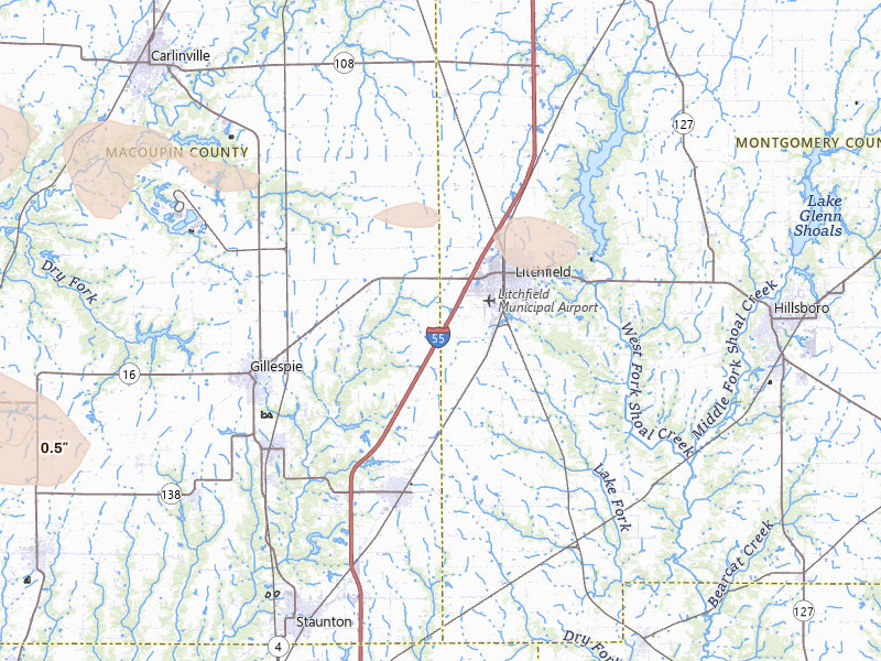
Carlinville, IL 4.3 /10 severity
1.75" peak signal 604 mapped homes 1 ground report
Carrollton, IL 4.3 /10 severity
1.75" peak signal 2,532 mapped homes No ground reports
Medora, IL 4.3 /10 severity
1.75" peak signal 1,874 mapped homes No ground reports
Kane, IL 3.9 /10 severity
1.75" peak signal 357 mapped homes No ground reports
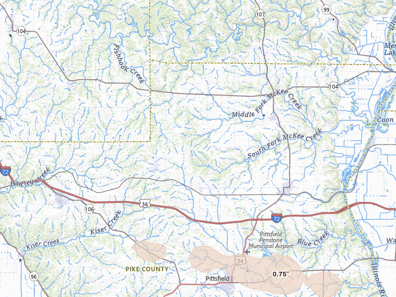
Palmyra, IL 3.8 /10 severity
1.75" peak signal 280 mapped homes No ground reports
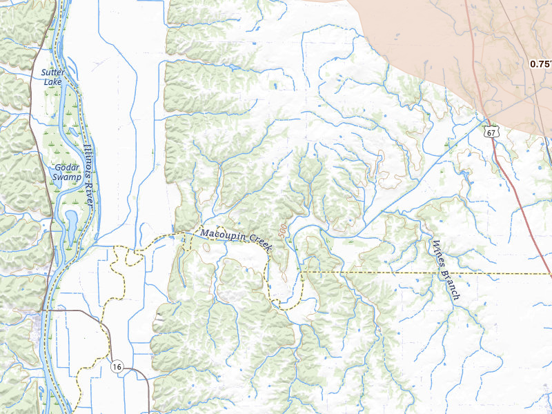
Roodhouse, IL 3.7 /10 severity
1.75" peak signal 174 mapped homes No ground reports
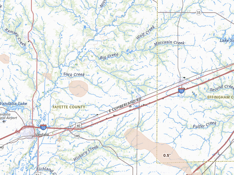
Taylorville, IL 3.7 /10 severity
1.75" peak signal 127 mapped homes No ground reports
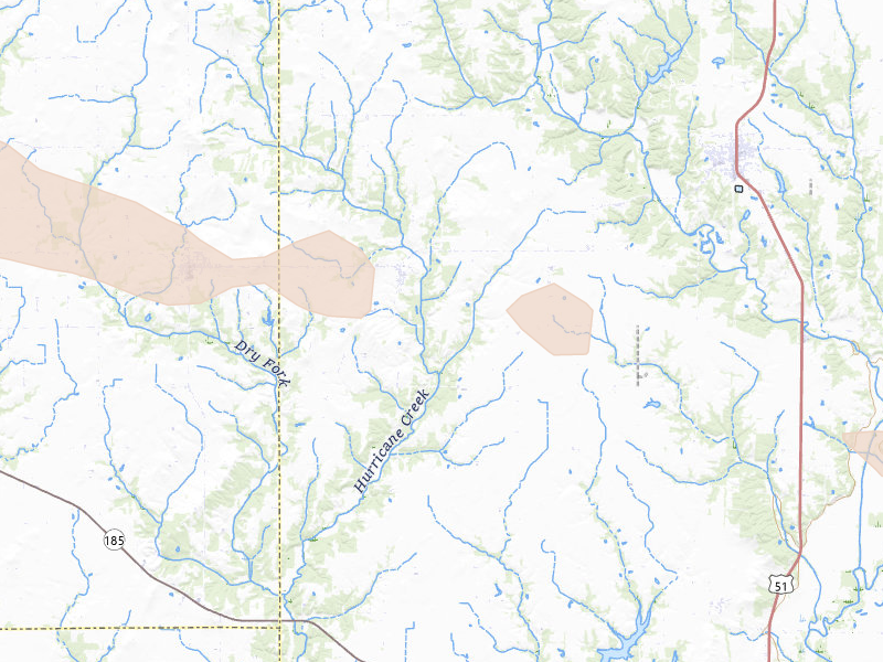
Assumption, IL 3.5 /10 severity
1.75" peak signal 15 mapped homes 1 ground report
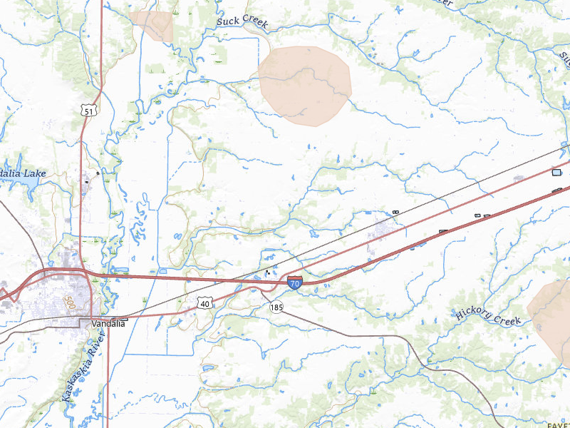
Pana, IL 3.5 /10 severity
1.75" peak signal 15 mapped homes 1 ground report
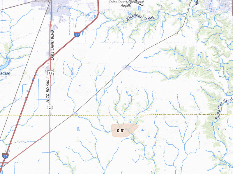
Bethalto, IL 3.4 /10 severity
1" peak signal 749 mapped homes 2 ground reports
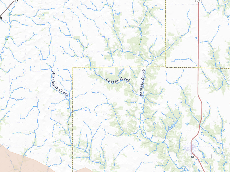
Butler, IL 3.1 /10 severity
1" peak signal 1,346 mapped homes No ground reports
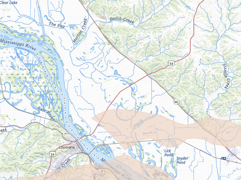
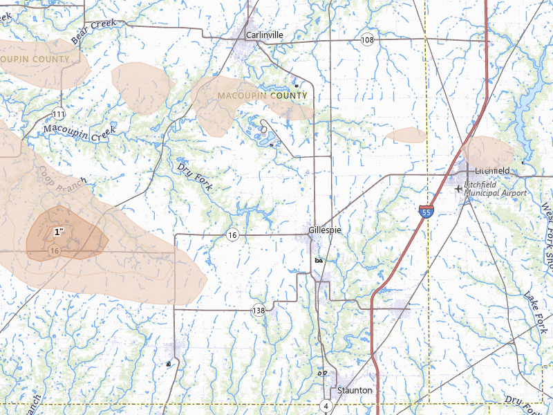
Gillespie, IL 3.1 /10 severity
1" peak signal 430 mapped homes 1 ground report
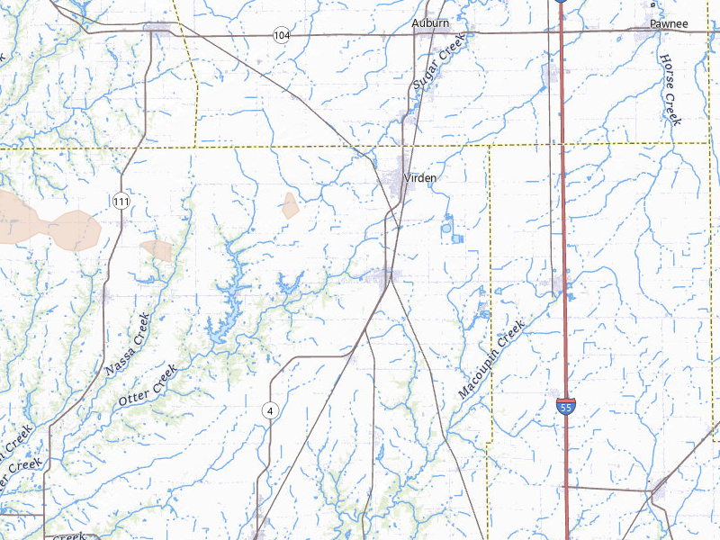
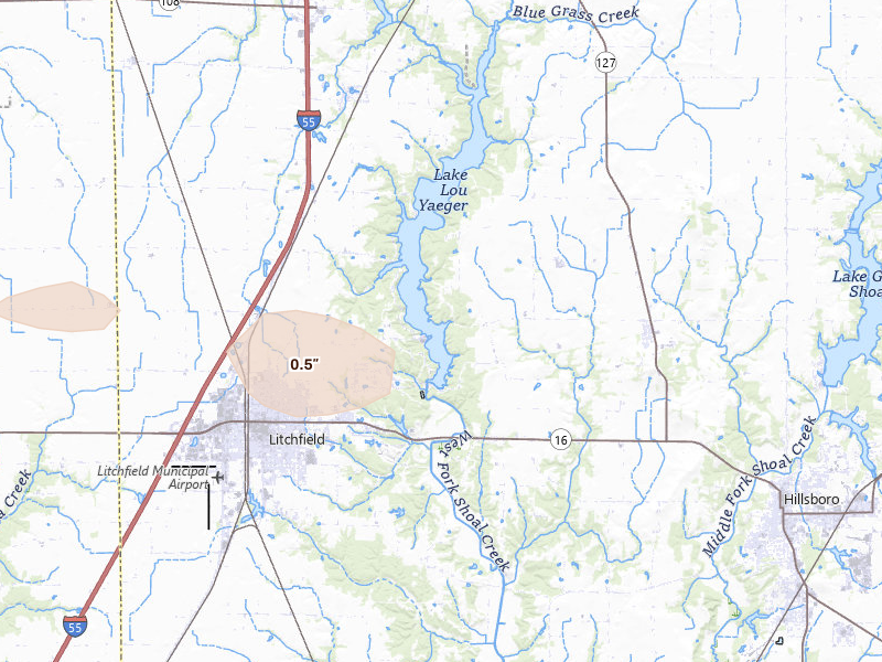
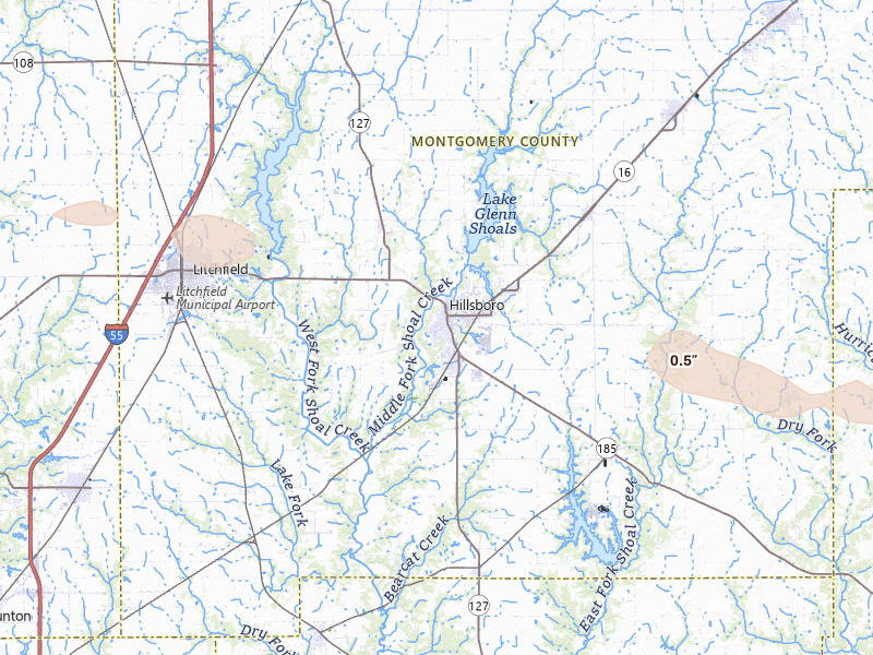
Litchfield, IL 3.0 /10 severity
1" peak signal 1,205 mapped homes No ground reports
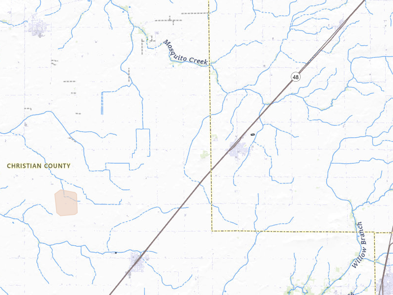
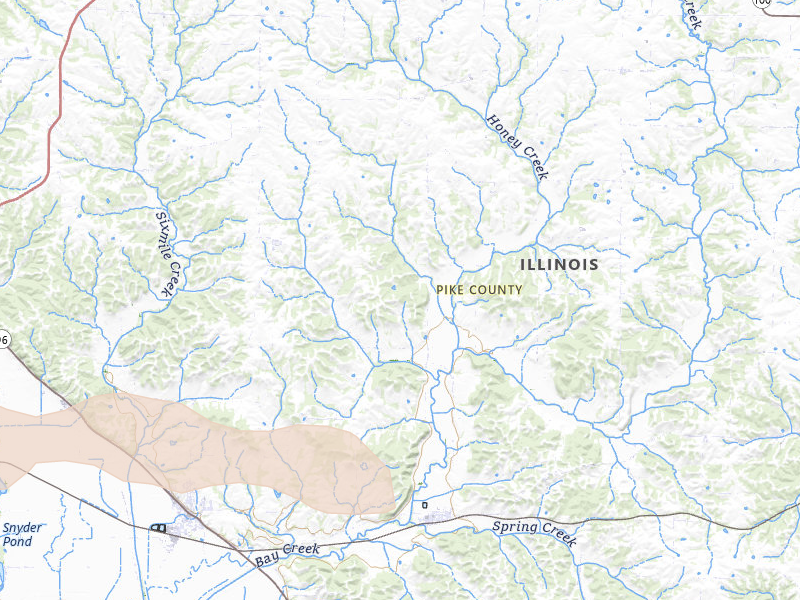
Pittsfield, IL 2.9 /10 severity
1" peak signal 619 mapped homes No ground reports
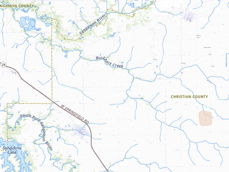
Fillmore, IL 2.8 /10 severity
1" peak signal 345 mapped homes No ground reports
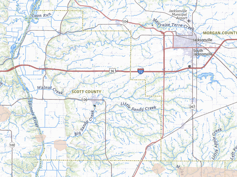
Nebo, IL 2.7 /10 severity
1" peak signal 223 mapped homes No ground reports
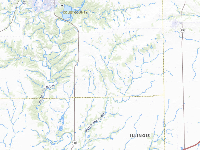
Edgewood, IL 2.6 /10 severity
1" peak signal 170 mapped homes No ground reports
Farina, IL 2.6 /10 severity
1" peak signal 147 mapped homes No ground reports
Pleasant Hill, IL 2.6 /10 severity
1" peak signal 194 mapped homes No ground reports
Altamont, IL 2.5 /10 severity
1" peak signal 94 mapped homes No ground reports
Kampsville, IL 2.5 /10 severity
1" peak signal 98 mapped homes No ground reports
Modesto, IL 2.5 /10 severity
1" peak signal 83 mapped homes No ground reports
Baylis, IL 2.4 /10 severity
1" peak signal 62 mapped homes No ground reports
Eldred, IL 2.4 /10 severity
1" peak signal 55 mapped homes No ground reports
Saint Elmo, IL 2.4 /10 severity
1" peak signal 73 mapped homes No ground reports
Bingham, IL 2.3 /10 severity
1" peak signal 38 mapped homes No ground reports
Brownstown, IL 2.3 /10 severity
1" peak signal 46 mapped homes No ground reports
Lerna, IL 2.3 /10 severity
1" peak signal 41 mapped homes No ground reports
Ramsey, IL 2.3 /10 severity
1" peak signal 44 mapped homes No ground reports
Rockport, IL 2.3 /10 severity
1" peak signal 36 mapped homes No ground reports
Girard, IL 2.2 /10 severity
1" peak signal 20 mapped homes No ground reports
Blue Mound, IL 1.9 /10 severity
1" peak signal 6 mapped homes No ground reports
Edinburg, IL 1.9 /10 severity
1" peak signal 6 mapped homes No ground reports
Winchester, IL 1.9 /10 severity
1" peak signal 6 mapped homes No ground reports
Charleston, IL 1.5 /10 severity
1" peak signal 0 mapped homes No ground reports
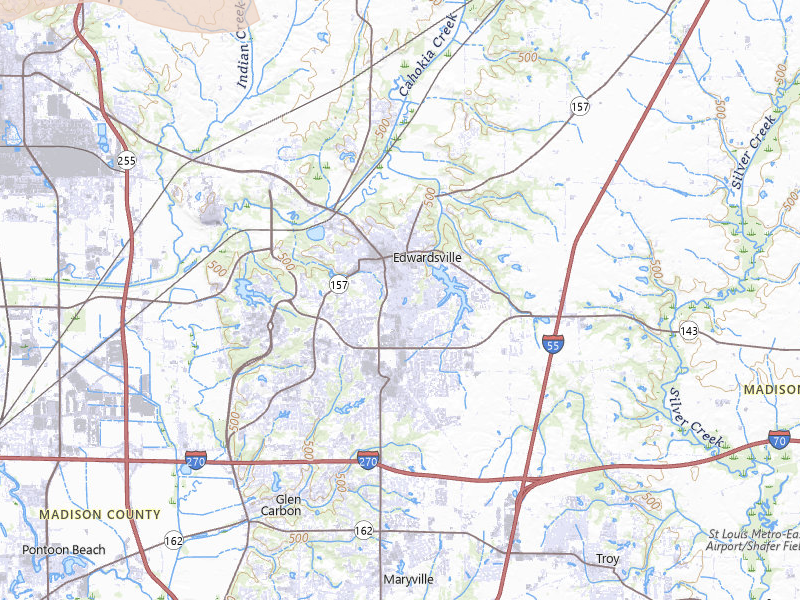
Edwardsville, IL 1.5 /10 severity
1" peak signal 0 mapped homes No ground reports
Elwood, IL 1.5 /10 severity
1" peak signal 0 mapped homes No ground reports
Fieldon, IL 1.5 /10 severity
1" peak signal 0 mapped homes No ground reports
Hardin, IL 1.5 /10 severity
1" peak signal 0 mapped homes No ground reports
Hillsboro, IL 1.5 /10 severity
1" peak signal 0 mapped homes No ground reports
Kinderhook, IL 1.5 /10 severity
1" peak signal 0 mapped homes No ground reports
Mattoon, IL 1.5 /10 severity
1" peak signal 0 mapped homes No ground reports
Shelbyville, IL 1.5 /10 severity
1" peak signal 0 mapped homes No ground reports
Bluffs, IL 0.0 /10 severity
0" peak signal 0 mapped homes No ground reports
Bridgeport, IL 0.0 /10 severity
0" peak signal 0 mapped homes No ground reports
Bunker Hill, IL 0.0 /10 severity
0" peak signal 0 mapped homes No ground reports
Cisne, IL 0.0 /10 severity
0" peak signal 0 mapped homes No ground reports
Clay City, IL 0.0 /10 severity
0" peak signal 0 mapped homes No ground reports
Gays, IL 0.0 /10 severity
0" peak signal 0 mapped homes No ground reports
Jacksonville, IL 0.0 /10 severity
0" peak signal 0 mapped homes No ground reports
Kansas, IL 0.0 /10 severity
0" peak signal 0 mapped homes No ground reports
Martinsville, IL 0.0 /10 severity
0" peak signal 0 mapped homes No ground reports
Morrisonville, IL 0.0 /10 severity
0" peak signal 0 mapped homes No ground reports
Neoga, IL 0.0 /10 severity
0" peak signal 0 mapped homes No ground reports
Newton, IL 0.0 /10 severity
0" peak signal 0 mapped homes No ground reports
Ottawa, IL 0.0 /10 severity
0" peak signal 0 mapped homes No ground reports
Paris, IL 0.0 /10 severity
0" peak signal 0 mapped homes No ground reports
Plainville, IL 0.0 /10 severity
0" peak signal 0 mapped homes No ground reports
Pocahontas, IL 0.0 /10 severity
0" peak signal 0 mapped homes No ground reports
Sumner, IL 0.0 /10 severity
0" peak signal 0 mapped homes No ground reports

Missouri

20 cities · up to 2.5" · 10,633 mapped homes
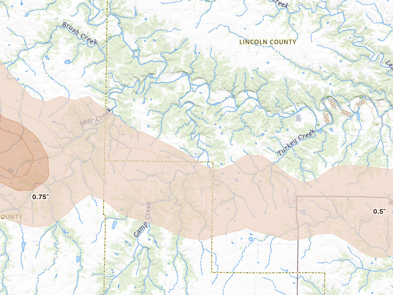
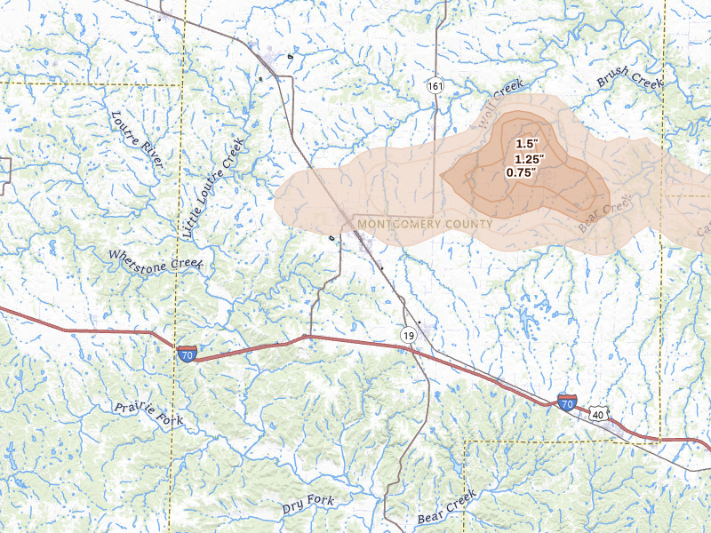
Truxton, MO 5.5 /10 severity
2.5" peak signal 907 mapped homes 1 ground report
Montgomery City, MO 5.4 /10 severity
2.5" peak signal 2,260 mapped homes No ground reports
Winfield, MO 5.4 /10 severity
2.5" peak signal 2,209 mapped homes No ground reports
Saint Charles, MO 5.3 /10 severity
2.5" peak signal 1,066 mapped homes No ground reports
Bellflower, MO 5.2 /10 severity
2.5" peak signal 884 mapped homes No ground reports
West Alton, MO 5.1 /10 severity
2.5" peak signal 619 mapped homes No ground reports
Troy, MO 4.7 /10 severity
1.75" peak signal 1,379 mapped homes 2 ground reports
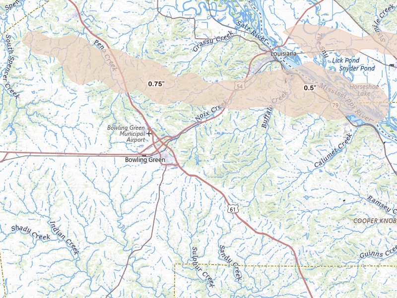
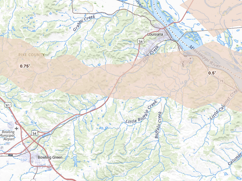
Bowling Green, MO 2.8 /10 severity
1" peak signal 377 mapped homes No ground reports
Clarksville, MO 2.8 /10 severity
1" peak signal 413 mapped homes No ground reports
Louisiana, MO 2.8 /10 severity
1" peak signal 395 mapped homes No ground reports
Annada, MO 2.5 /10 severity
1" peak signal 124 mapped homes No ground reports
Leonard, MO 1.5 /10 severity
1" peak signal 0 mapped homes No ground reports
Shelbyville, MO 1.5 /10 severity
1" peak signal 0 mapped homes No ground reports
Center, MO 0.0 /10 severity
0" peak signal 0 mapped homes No ground reports
Kirksville, MO 0.0 /10 severity
0" peak signal 0 mapped homes No ground reports
La Belle, MO 0.0 /10 severity
0" peak signal 0 mapped homes No ground reports
Lewistown, MO 0.0 /10 severity
0" peak signal 0 mapped homes No ground reports
Novelty, MO 0.0 /10 severity
0" peak signal 0 mapped homes No ground reports
Novinger, MO 0.0 /10 severity
0" peak signal 0 mapped homes No ground reports
Palmyra, MO 0.0 /10 severity
0" peak signal 0 mapped homes No ground reports

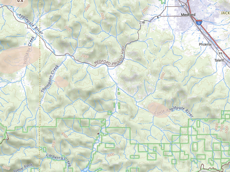
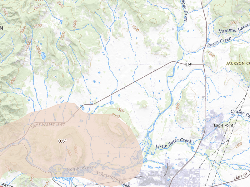
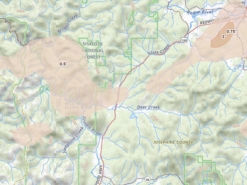
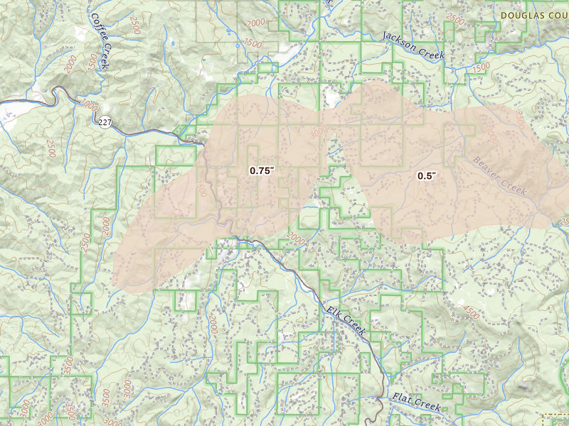
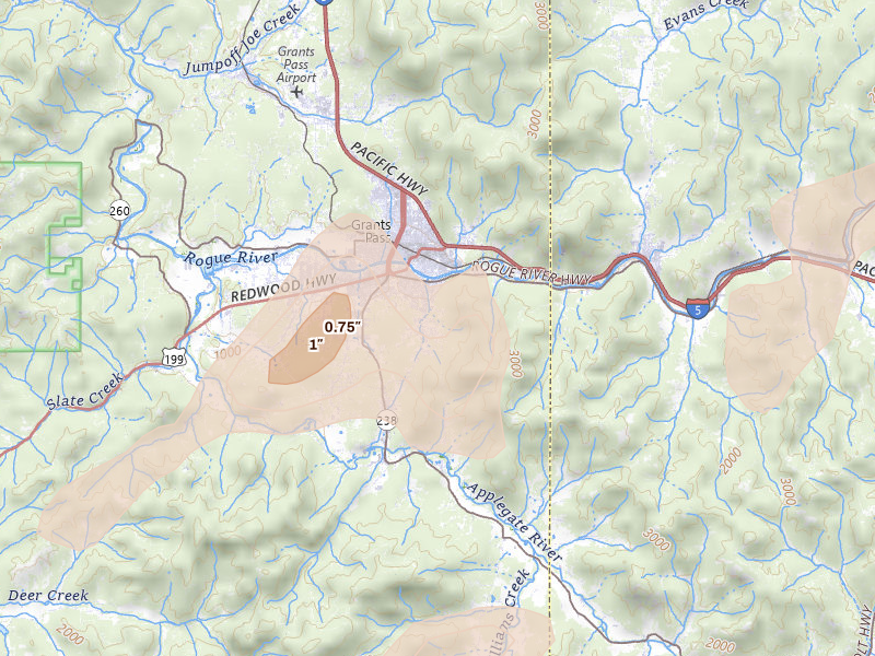
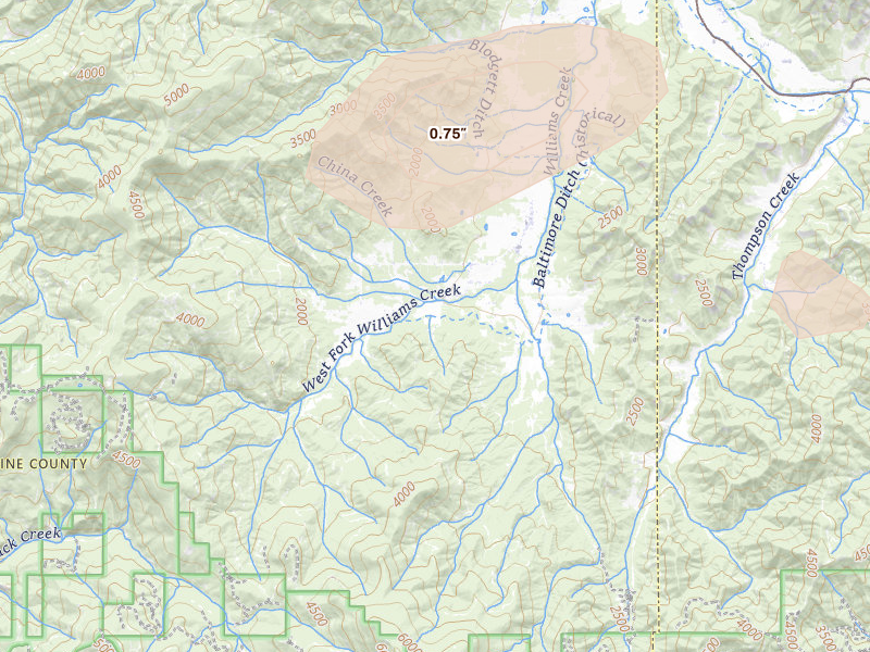
Oregon

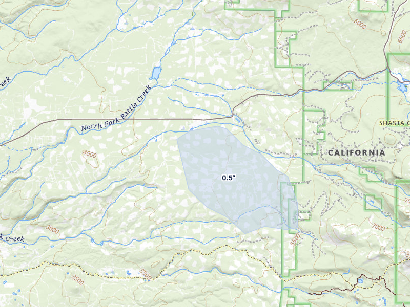
12 cities · up to 1.75" · 6,161 mapped homes
California

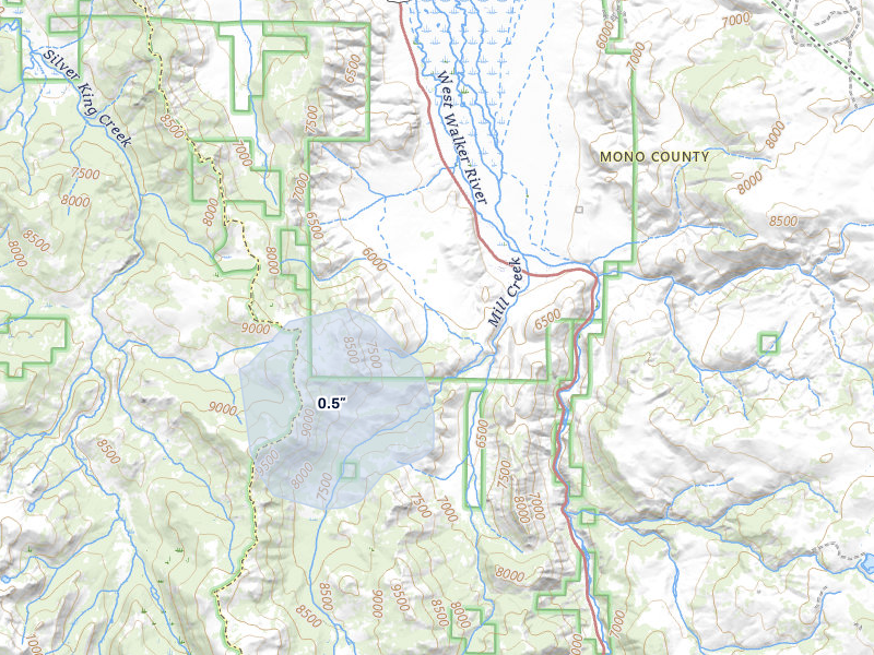
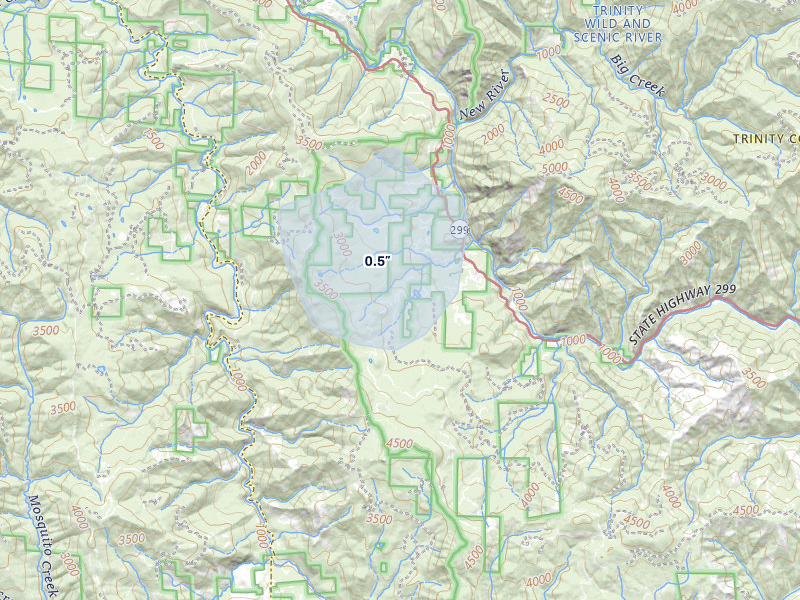
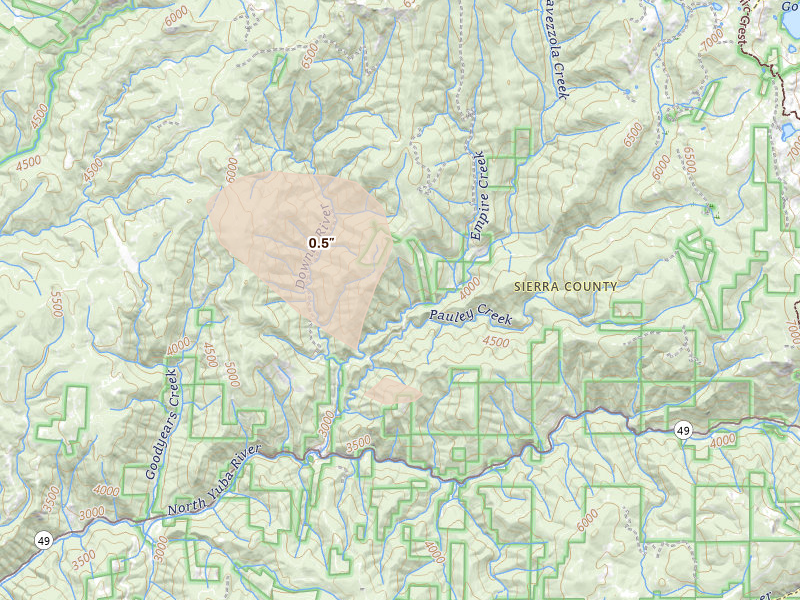
5 cities · up to 1.25" · 1,511 mapped homes
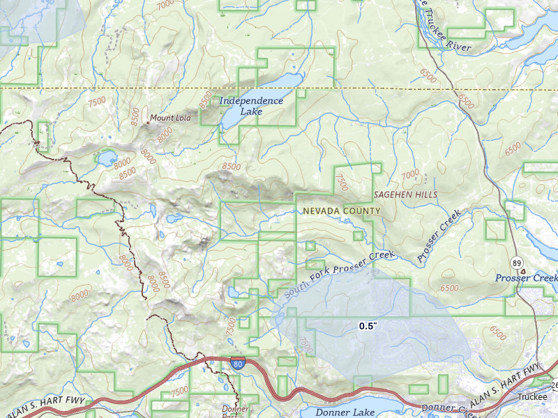
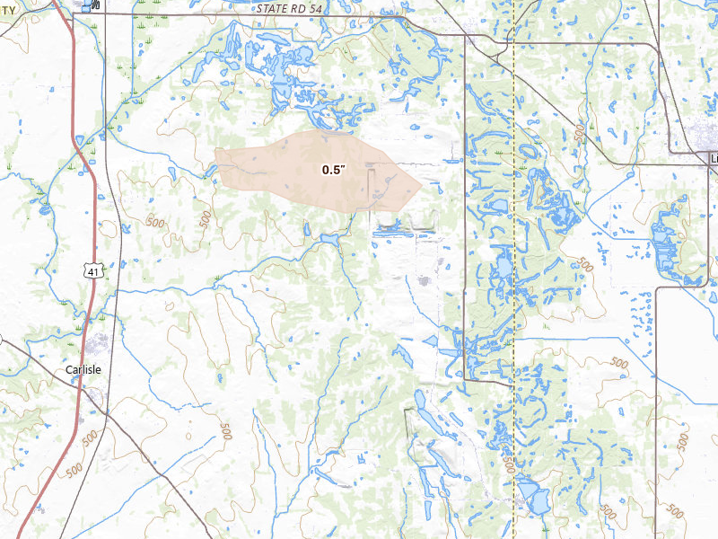
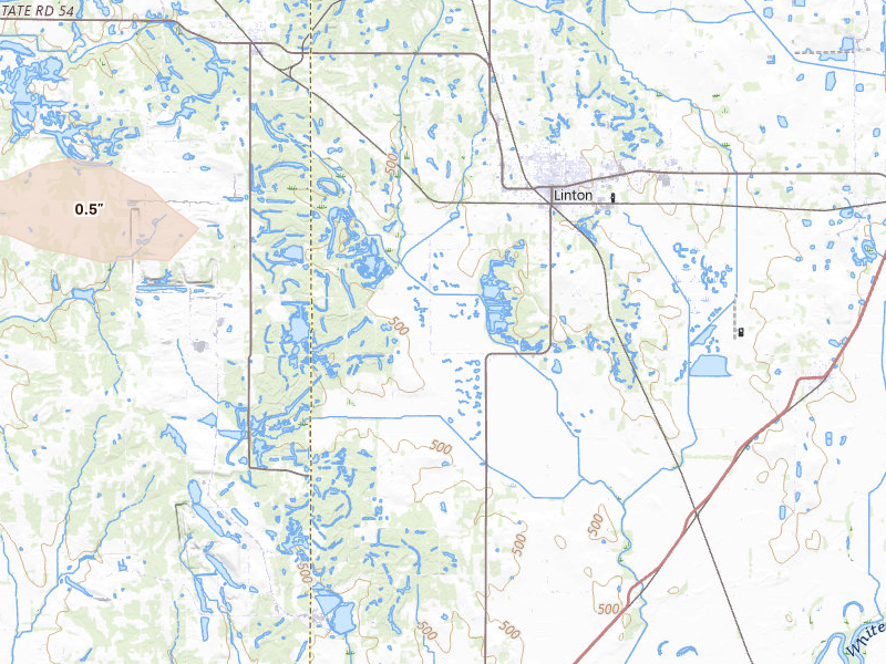
Indiana

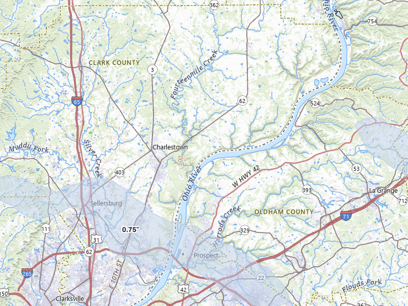
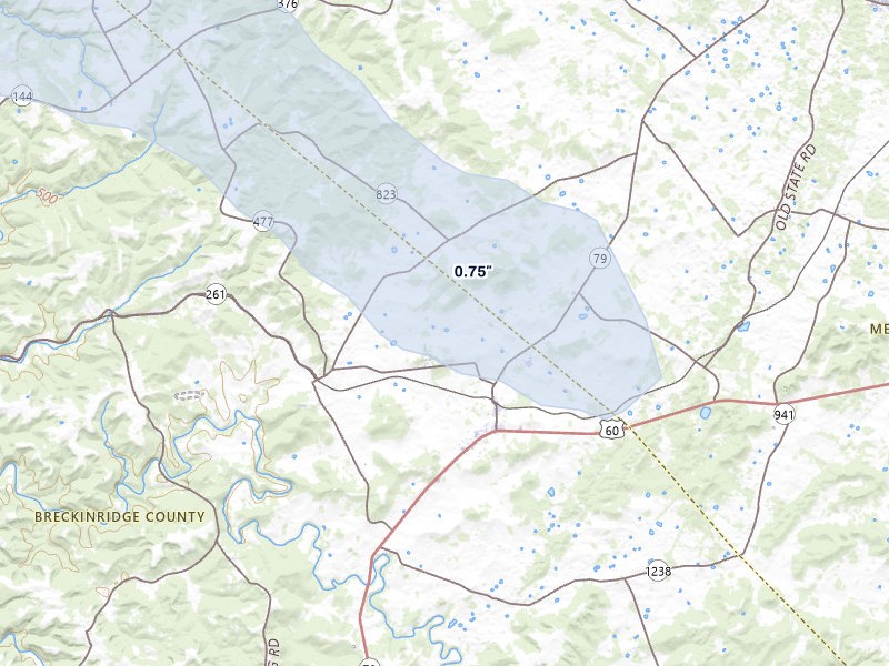
5 cities · up to 1" · 15 mapped homes
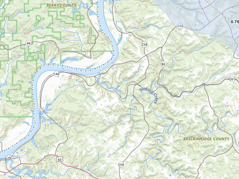
Kentucky

6 cities · up to 1" · 0 mapped homes
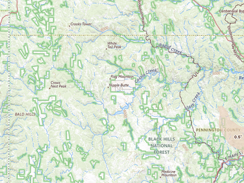
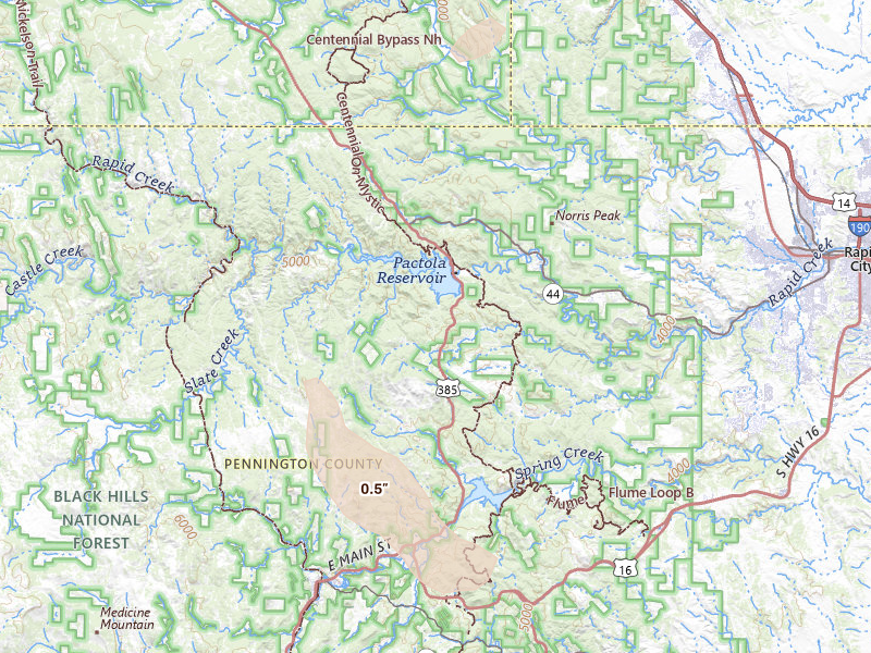
South Dakota

3 cities · up to 0.5" · 347 mapped homes
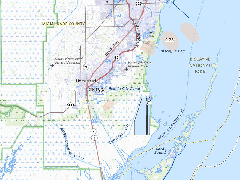
Florida

1 city · up to 0.5" · 0 mapped homes
← All storm days

Overview Pro · iPhone + web

One app for your prospecting day.

The hail map, your next recommended area, and the tools to work it. Start on your own; the same subscription also includes access for up to 4 team members.

Overview Pro

One plan · iPhone + web

Monthly · US App Store

$149.99 / month

5,000 new addresses per user each month on Pro. Put your 200 trial addresses to work before another week goes to guesswork.

Optional outreach

+ $0.21 per contact returned
Available homeowner names and phone numbers, with freshness and DNC flags.
+ $0.75 per postcard mailed
Print, postage, and delivery tracking included.

What's included

Get recommended places to prospect, or draw your own. The same plan gives you the tools to work either one.

  • Hail maps, storm history, and live radar
  • Curated prospecting recommendations and Quests
  • Canvassing sessions and navigation
  • Door outcomes, notes, and photos
  • Visit history and follow-up Quests
  • Alerts for your saved territories
  • Polygon and hexagon draw tools
  • Saved work areas and address lists
  • CSV exports for your dialer or CRM
  • XP, levels, and the leaderboard
  • Access on iPhone and the web
  • Up to 4 team members

7-day free trial in the iPhone app. No card required to start.

Choose whether to subscribe when your trial ends. Paid subscriptions renew monthly. Manage or cancel in your Apple Account settings.

See all pricing and billing details →
Start free trial

Web trial: 7 days free. Card required. $150/month after the trial unless cancelled.

The next storm won’t wait for you.

Set your territory and alerts today. When hail hits, use Overview to choose your streets and get moving.

Download on the App Store

7-day free trial in the iPhone app. No card required to start.

For iPhone. Android coming soon.

Open May 3 on the live map → Start free trial

Web trial: 7 days free. Card required. $150/month after the trial unless cancelled.

Storm days are convective days (noon-to-noon UTC). Cities and counts are the set Overview tracks, not every place hail fell. Ground reports are public-domain observations from the NOAA Storm Prediction Center; radar sizes are detections and estimates, not confirmed damage.