Hail storms on Oct 28, 2026

14 days ago

49 cities across 5 states recorded hail on Oct 28, 2026 — a multi-state outbreak. The peak radar-indicated size reached 1.75" over Cannon Falls, about golf ball.

7-day free trial in the iPhone app. No card required to start.

For iPhone. Android coming soon.

Web trial: 7 days free. Card required. $150/month after the trial unless cancelled.

Cities hit 49 across 5 states
Peak hail signal 1.75" ≈ golf ball · Cannon Falls
Homes in footprints 57,198
Ground reports 12

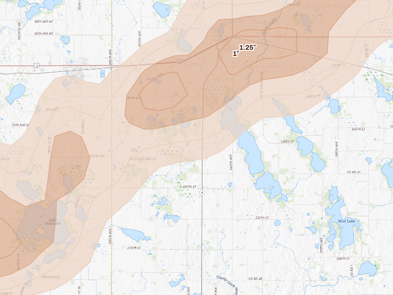
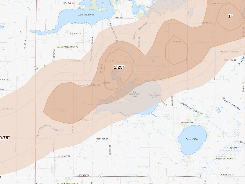
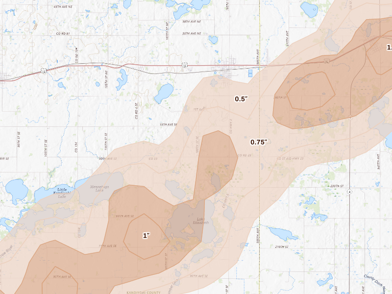
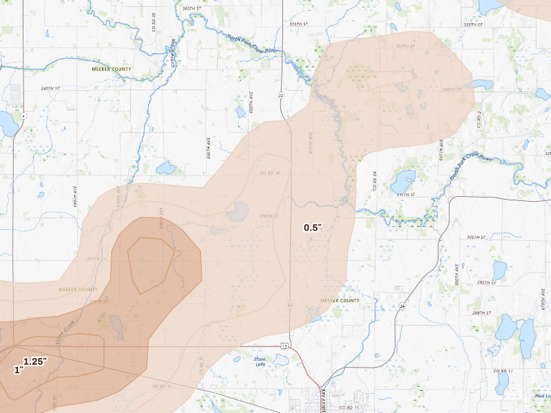
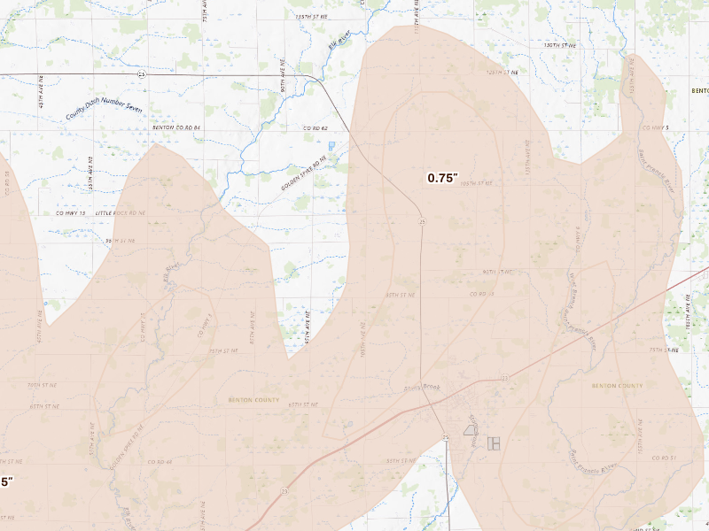
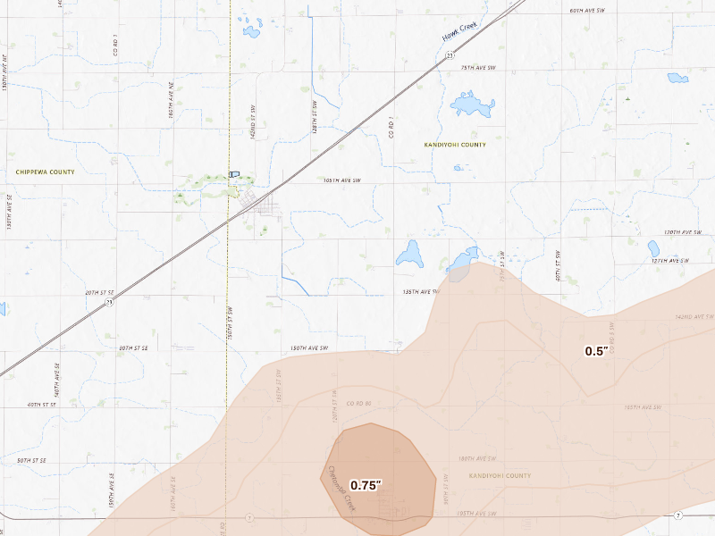
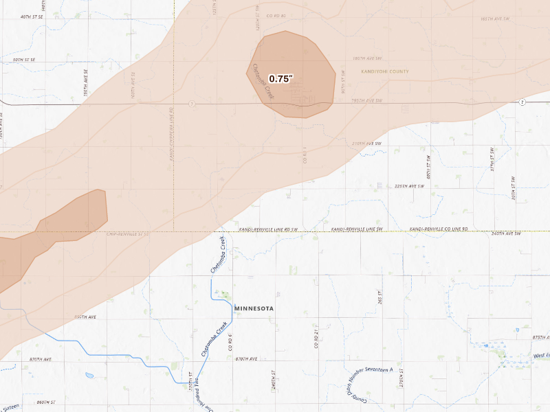
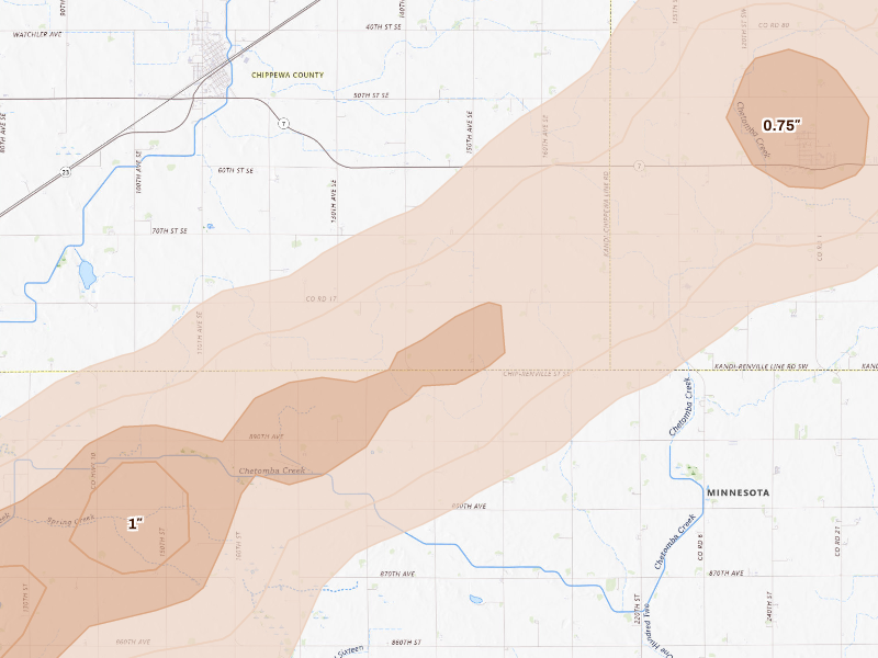
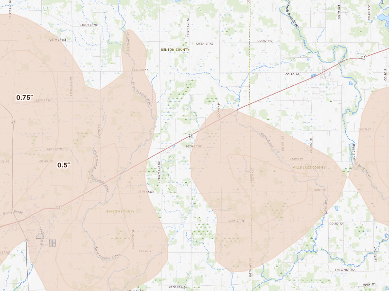
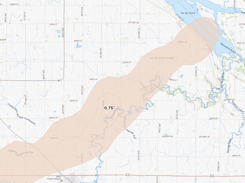
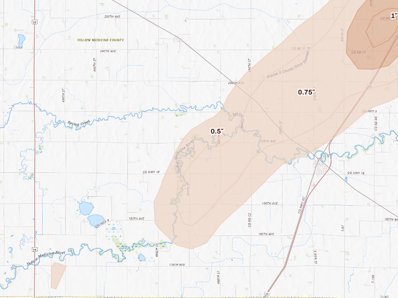
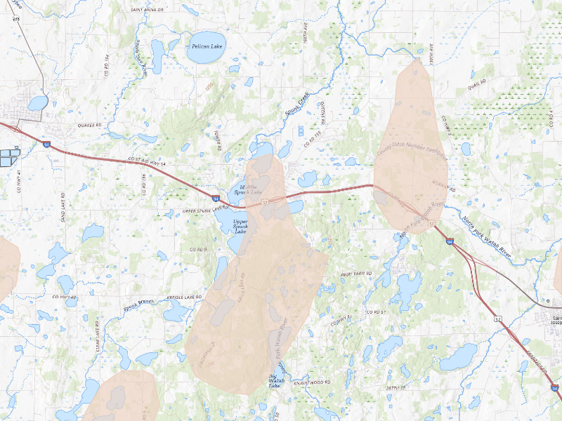
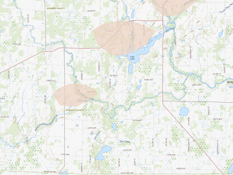
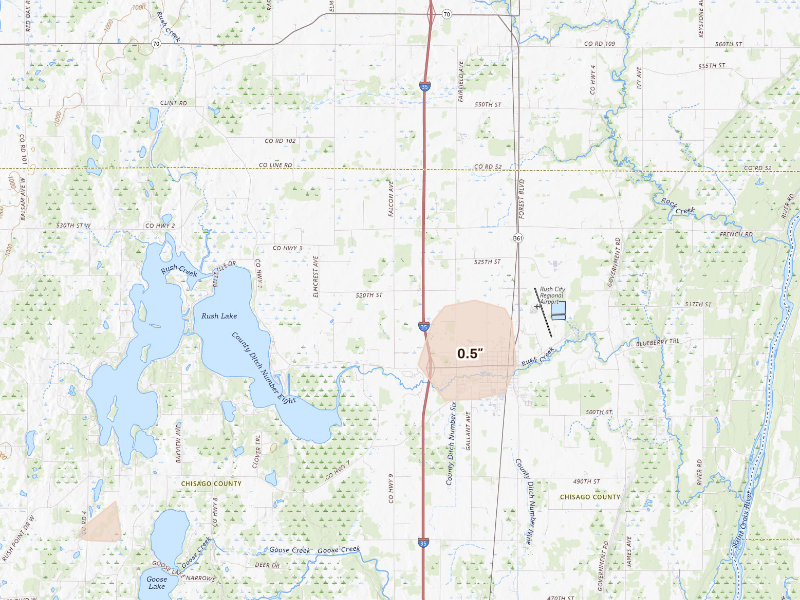
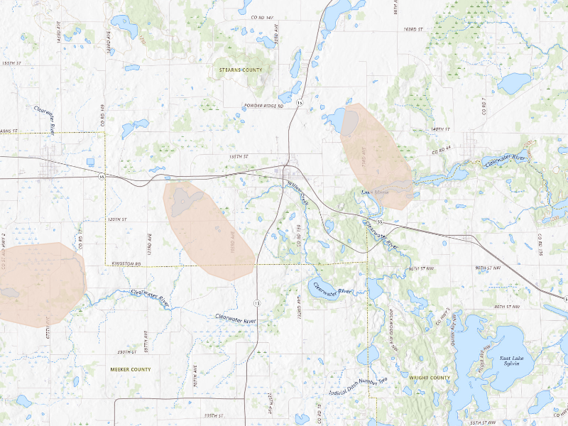
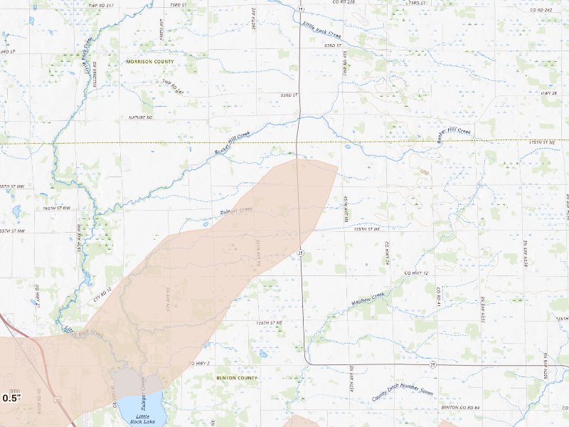
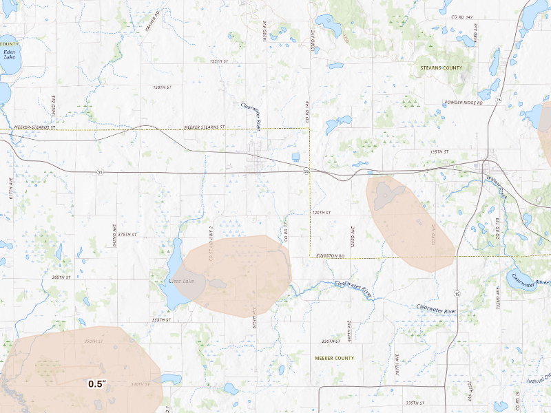
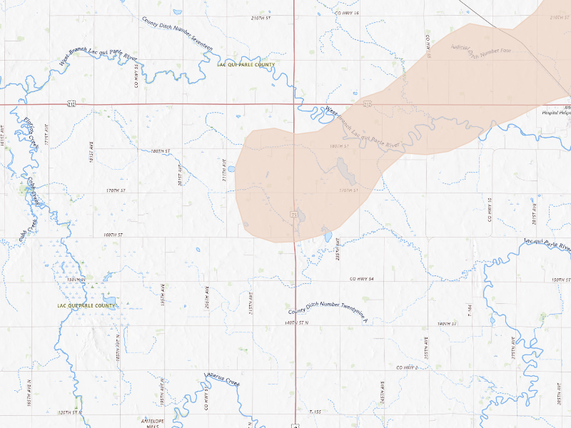
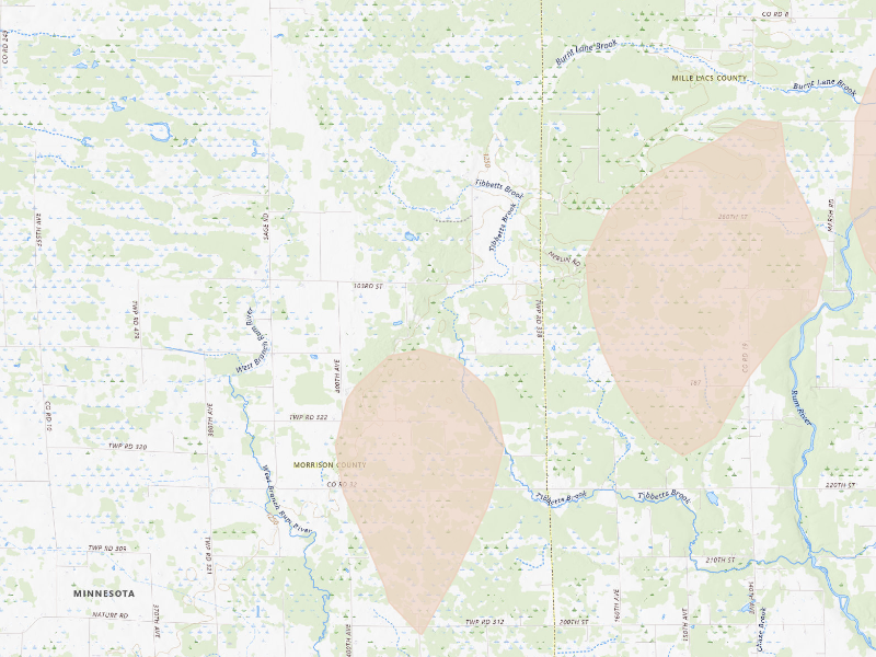
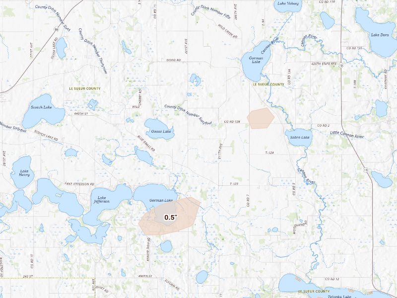
Oct 28, 2026 · Cannon Falls, MN: 1.75" peak radar signal · Radar-estimated size map

Mapped cities, by state

Every tracked city with a hail signal on Oct 28, 2026

49 cities · up to 1.75" · 57,198 mapped homes · noon-to-noon UTC

Every tracked city that recorded hail on this convective day, biggest signal first. Each row opens that city's full storm record.

How to read this day

A storm day on Overview is a convective day — it runs from noon to noon UTC, so late-night hail is grouped with the afternoon storm that spawned it rather than split across two calendar dates. Everything below happened inside the Oct 28, 2026 convective day. Across those footprints sit roughly 57,198 homes, and 12 ground reports were filed with the National Weather Service.

The cities are listed with the biggest storm first, measured by Overview's severity score. Each row links through to that city's own storm page, where you'll find the radar surfaces, every ground report filed, and the hail footprint drawn on the map.

The counts here are the size of the set of cities Overview tracks — never "every US city" — so read a quiet day as "quiet among the places we watch," not as proof nothing happened elsewhere.

Minnesota

39 cities · up to 1.75" · 54,467 mapped homes
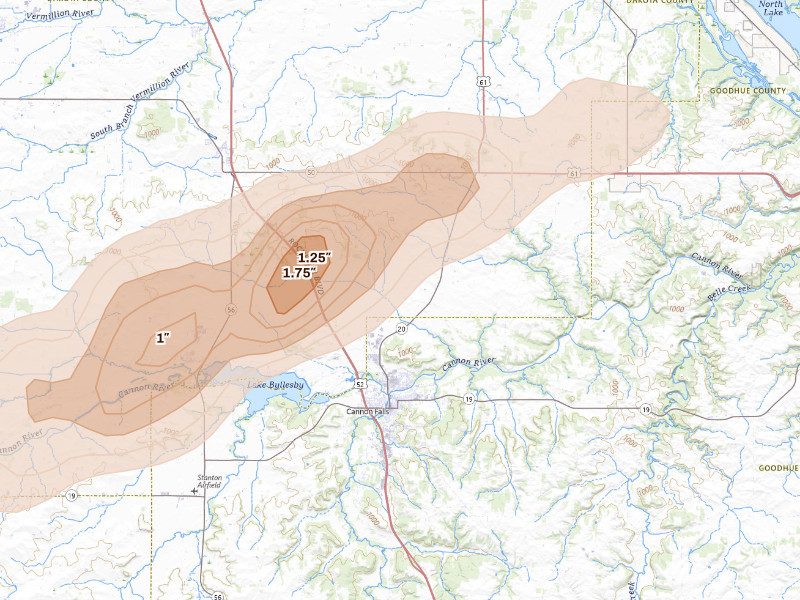
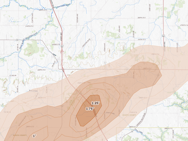
Cannon Falls, MN 5.1 /10 severity
1.75" peak signal 2,564 mapped homes 3 ground reports
Hampton, MN 5.0 /10 severity
1.75" peak signal 1,504 mapped homes 3 ground reports
Granite Falls, MN 4.4 /10 severity
1.5" peak signal 2,062 mapped homes 2 ground reports
Northfield, MN 4.0 /10 severity
1.5" peak signal 2,572 mapped homes No ground reports
Grove City, MN 3.9 /10 severity
1.25" peak signal 965 mapped homes 2 ground reports
Lake Lillian, MN 3.6 /10 severity
1.25" peak signal 1,103 mapped homes 1 ground report
Atwater, MN 3.3 /10 severity
1.25" peak signal 743 mapped homes No ground reports
Litchfield, MN 3.3 /10 severity
1.25" peak signal 721 mapped homes No ground reports
Maynard, MN 3.2 /10 severity
1.25" peak signal 399 mapped homes No ground reports
Sartell, MN 3.2 /10 severity
0.75" peak signal 17,608 mapped homes No ground reports
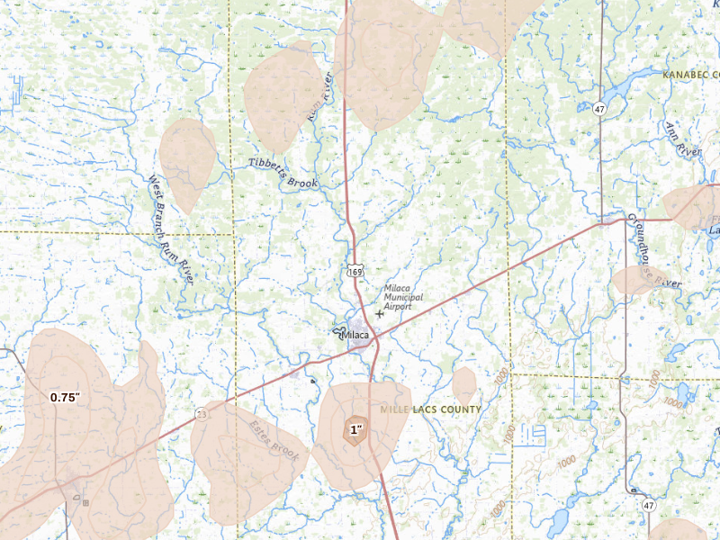
Milaca, MN 3.1 /10 severity
1" peak signal 1,543 mapped homes No ground reports
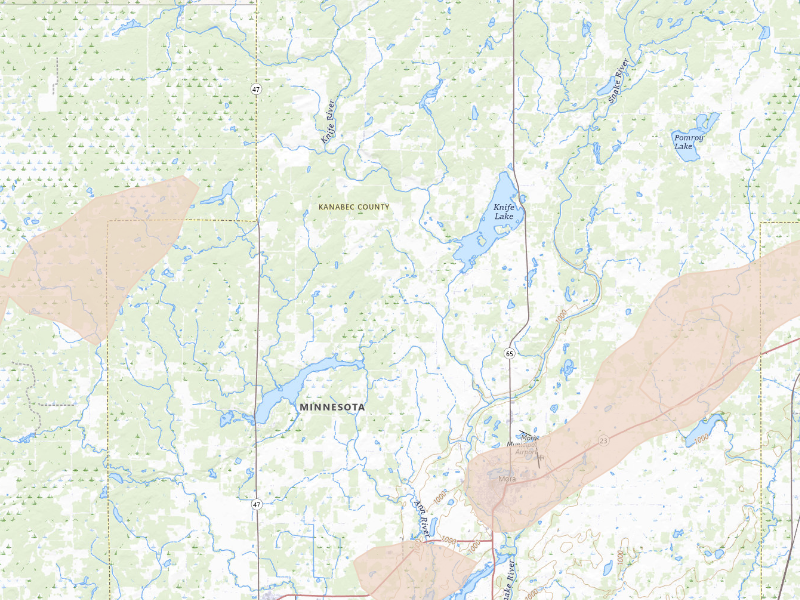
Mora, MN 3.1 /10 severity
0.75" peak signal 2,801 mapped homes 1 ground report
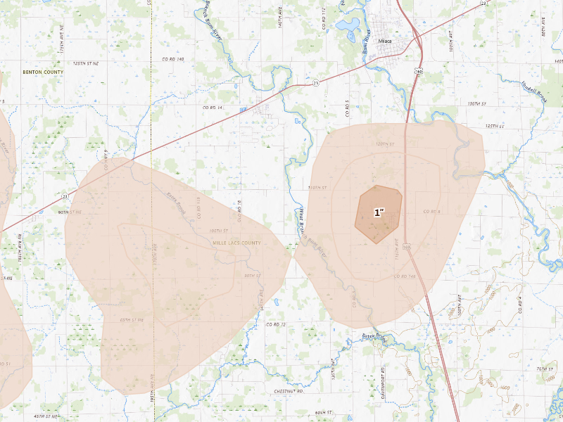
Foreston, MN 3.0 /10 severity
1" peak signal 1,027 mapped homes No ground reports
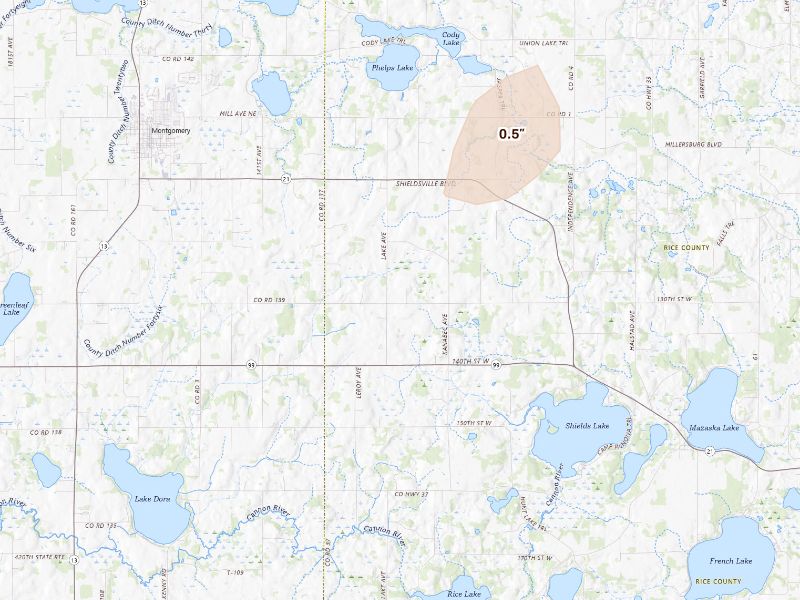
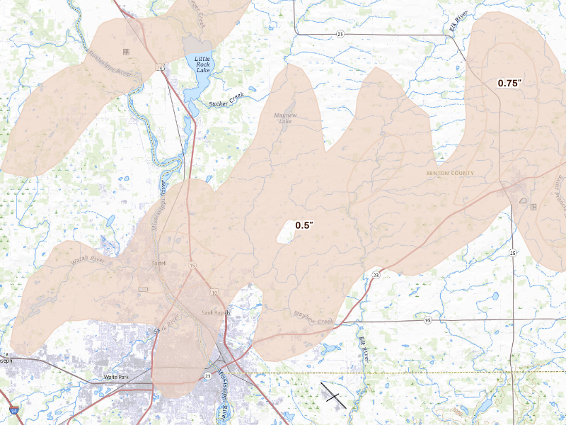
Sauk Rapids, MN 3.0 /10 severity
0.75" peak signal 5,562 mapped homes No ground reports
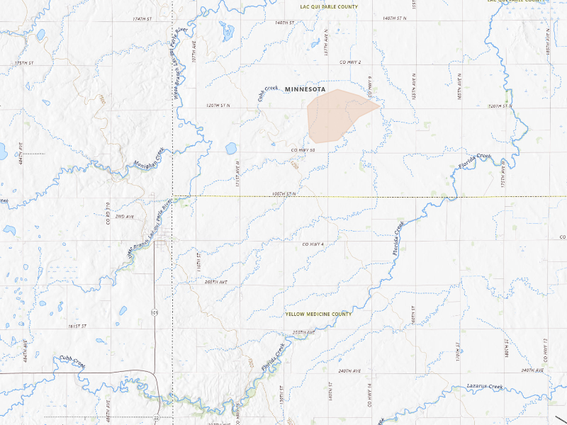
Foley, MN 2.9 /10 severity
0.75" peak signal 3,439 mapped homes No ground reports
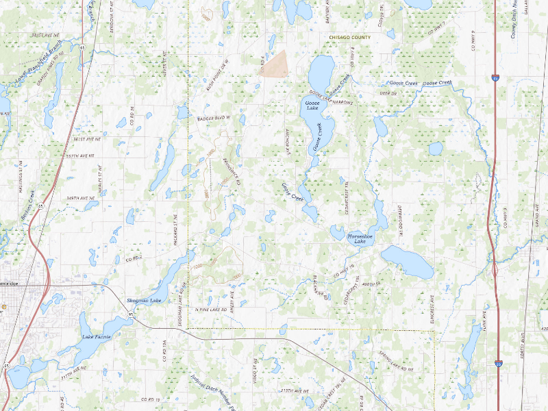
Raymond, MN 2.9 /10 severity
1" peak signal 661 mapped homes No ground reports
Renville, MN 2.9 /10 severity
1" peak signal 764 mapped homes No ground reports
Clara City, MN 2.8 /10 severity
1" peak signal 456 mapped homes No ground reports
Oak Park, MN 2.6 /10 severity
0.75" peak signal 931 mapped homes No ground reports
Saint Joseph, MN 2.5 /10 severity
0.5" peak signal 2,655 mapped homes No ground reports
Dawson, MN 2.3 /10 severity
0.75" peak signal 255 mapped homes No ground reports
Hanley Falls, MN 2.3 /10 severity
0.75" peak signal 194 mapped homes No ground reports
Avon, MN 2.2 /10 severity
0.5" peak signal 865 mapped homes No ground reports
Ogilvie, MN 2.2 /10 severity
0.5" peak signal 807 mapped homes No ground reports
Rush City, MN 2.2 /10 severity
0.5" peak signal 755 mapped homes No ground reports
Kimball, MN 1.9 /10 severity
0.5" peak signal 205 mapped homes No ground reports
Rice, MN 1.9 /10 severity
0.5" peak signal 245 mapped homes No ground reports
Richmond, MN 1.9 /10 severity
0.5" peak signal 225 mapped homes No ground reports
Watkins, MN 1.9 /10 severity
0.5" peak signal 225 mapped homes No ground reports
Madison, MN 1.8 /10 severity
0.5" peak signal 134 mapped homes No ground reports
Princeton, MN 1.8 /10 severity
0.5" peak signal 139 mapped homes No ground reports
Albany, MN 1.7 /10 severity
0.5" peak signal 66 mapped homes No ground reports
Hillman, MN 1.7 /10 severity
0.5" peak signal 72 mapped homes No ground reports
Le Center, MN 1.7 /10 severity
0.5" peak signal 72 mapped homes No ground reports
Montgomery, MN 1.7 /10 severity
0.5" peak signal 81 mapped homes No ground reports
Millville, MN 1.5 /10 severity
0.5" peak signal 25 mapped homes No ground reports
Canby, MN 1.3 /10 severity
0.5" peak signal 11 mapped homes No ground reports
Harris, MN 1.3 /10 severity
0.5" peak signal 10 mapped homes No ground reports
Cottonwood, MN 0.9 /10 severity
0.5" peak signal 1 mapped homes No ground reports

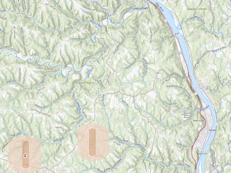
Ohio

2 cities · up to 1" · 495 mapped homes
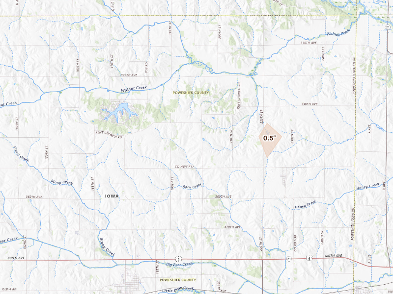
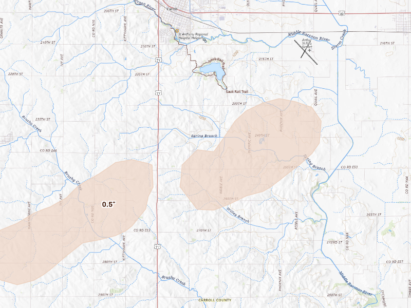
Iowa

6 cities · up to 0.75" · 1,939 mapped homes
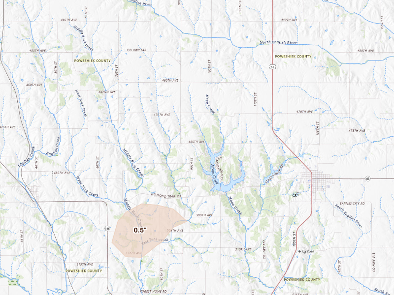
Kansas

1 city · up to 0.5" · 255 mapped homes

Nebraska

1 city · up to 0.5" · 42 mapped homes

← All storm days

Overview Pro · iPhone + web

One app for your prospecting day.

The hail map, your next recommended area, and the tools to work it. Start on your own; the same subscription also includes access for up to 4 team members.

Overview Pro

One plan · iPhone + web

Monthly · US App Store

$149.99 / month

5,000 new addresses per user each month on Pro. Put your 200 trial addresses to work before another week goes to guesswork.

Optional outreach

+ $0.21 per contact returned
Available homeowner names and phone numbers, with freshness and DNC flags.
+ $0.75 per postcard mailed
Print, postage, and delivery tracking included.

What's included

Get recommended places to prospect, or draw your own. The same plan gives you the tools to work either one.

  • Hail maps, storm history, and live radar
  • Curated prospecting recommendations and Quests
  • Canvassing sessions and navigation
  • Door outcomes, notes, and photos
  • Visit history and follow-up Quests
  • Alerts for your saved territories
  • Polygon and hexagon draw tools
  • Saved work areas and address lists
  • CSV exports for your dialer or CRM
  • XP, levels, and the leaderboard
  • Access on iPhone and the web
  • Up to 4 team members

7-day free trial in the iPhone app. No card required to start.

Choose whether to subscribe when your trial ends. Paid subscriptions renew monthly. Manage or cancel in your Apple Account settings.

See all pricing and billing details →
Start free trial

Web trial: 7 days free. Card required. $150/month after the trial unless cancelled.

The next storm won’t wait for you.

Set your territory and alerts today. When hail hits, use Overview to choose your streets and get moving.

7-day free trial in the iPhone app. No card required to start.

For iPhone. Android coming soon.

Open Oct 28 on the live map → Start free trial

Web trial: 7 days free. Card required. $150/month after the trial unless cancelled.

Storm days are convective days (noon-to-noon UTC). Cities and counts are the set Overview tracks, not every place hail fell. Ground reports are public-domain observations from the NOAA Storm Prediction Center; radar sizes are detections and estimates, not confirmed damage.