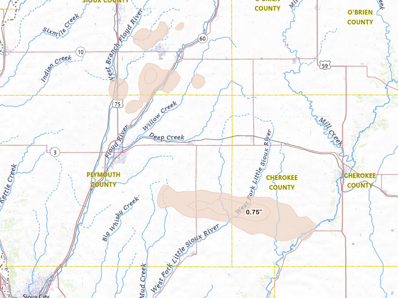
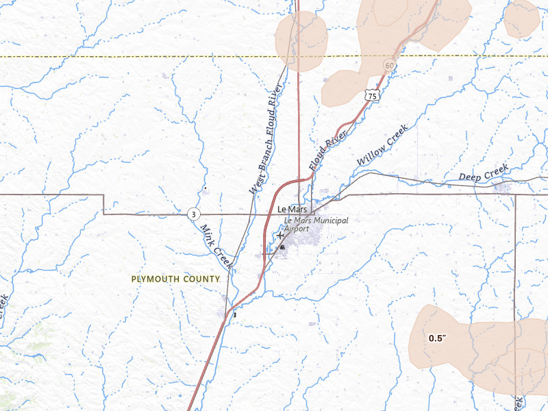
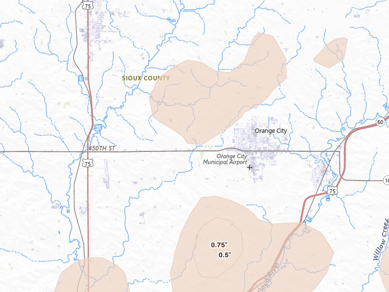
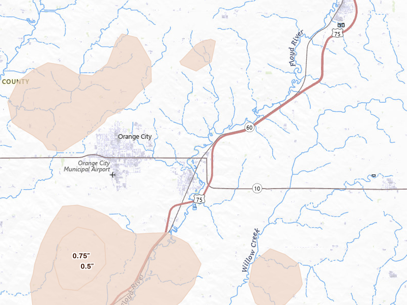
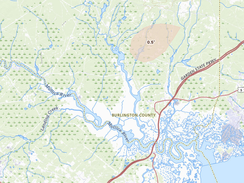
Hail storms on Aug 28, 2026

17 days ago

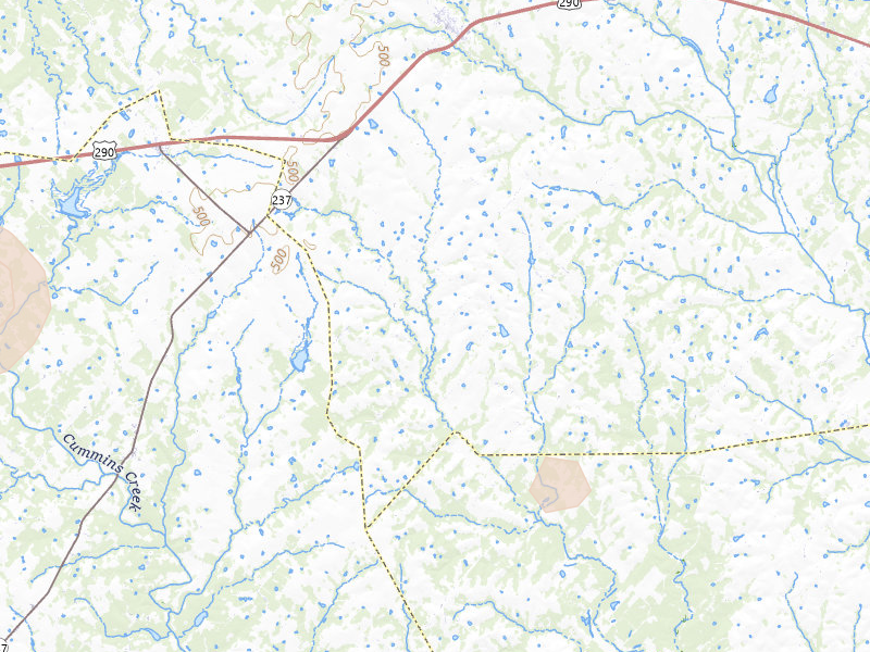
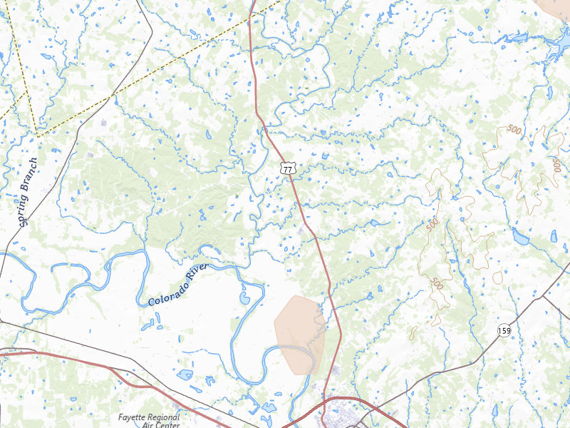
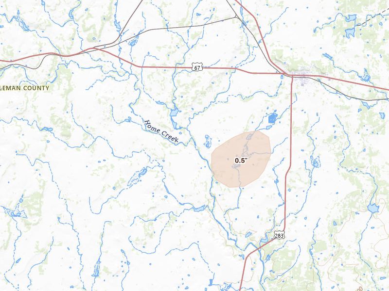
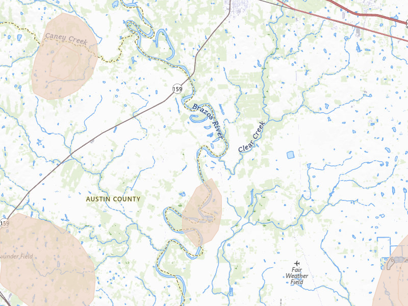
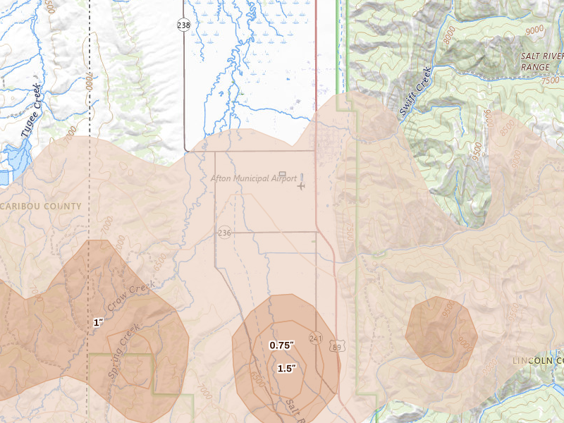
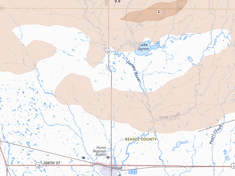
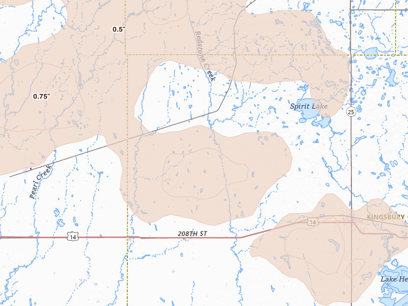
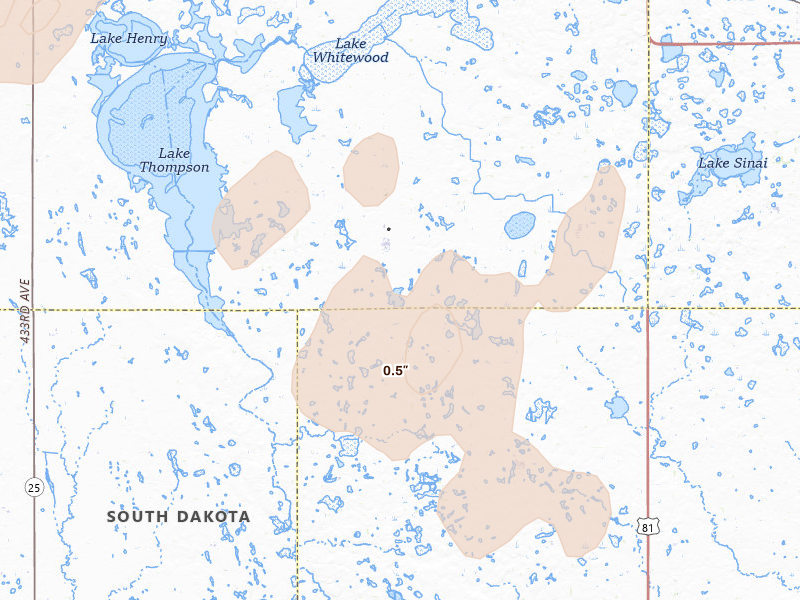
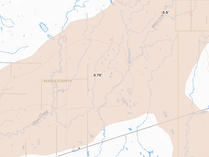
186 cities across 23 states recorded hail on Aug 28, 2026 — a multi-state outbreak. The peak radar-indicated size reached 1.5" over Afton, about ping-pong ball.

Download on the App Store

7-day free trial in the iPhone app. No card required to start.

For iPhone. Android coming soon.

Web trial: 7 days free. Card required. $150/month after the trial unless cancelled.

Cities hit 186 across 23 states
Peak hail signal 1.5" ≈ ping-pong ball · Afton
Homes in footprints 374,800
Ground reports 5

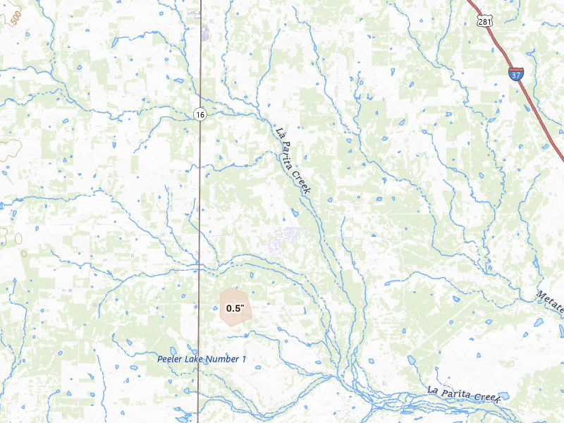
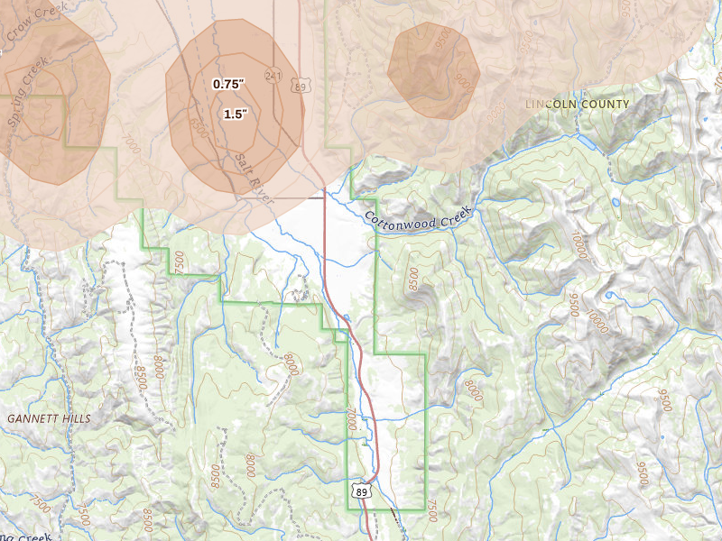
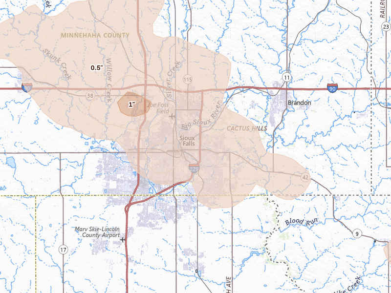
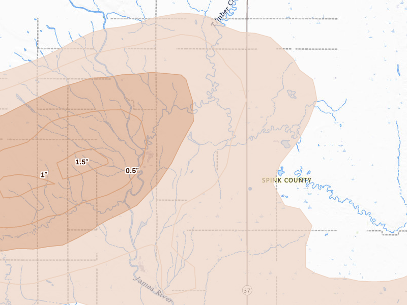
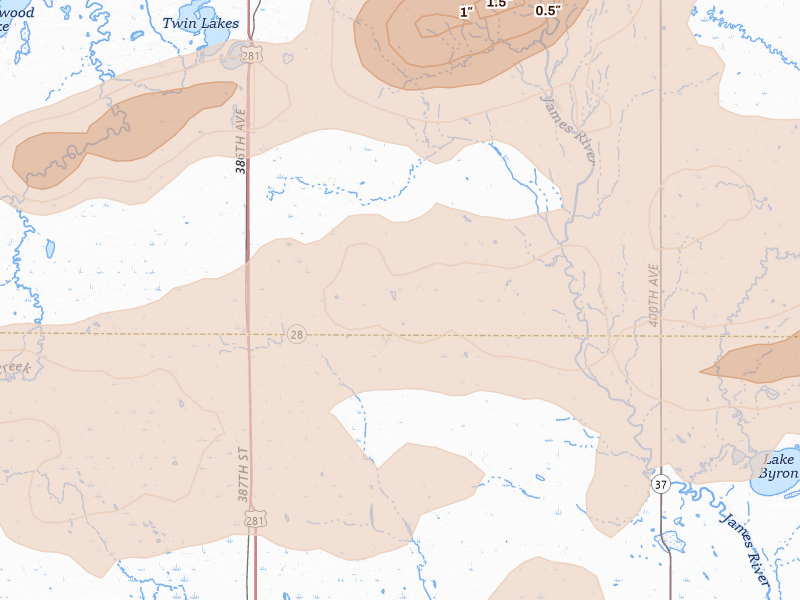
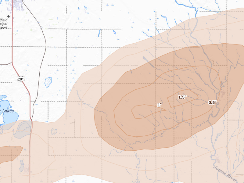
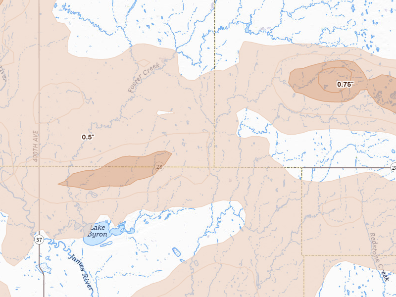
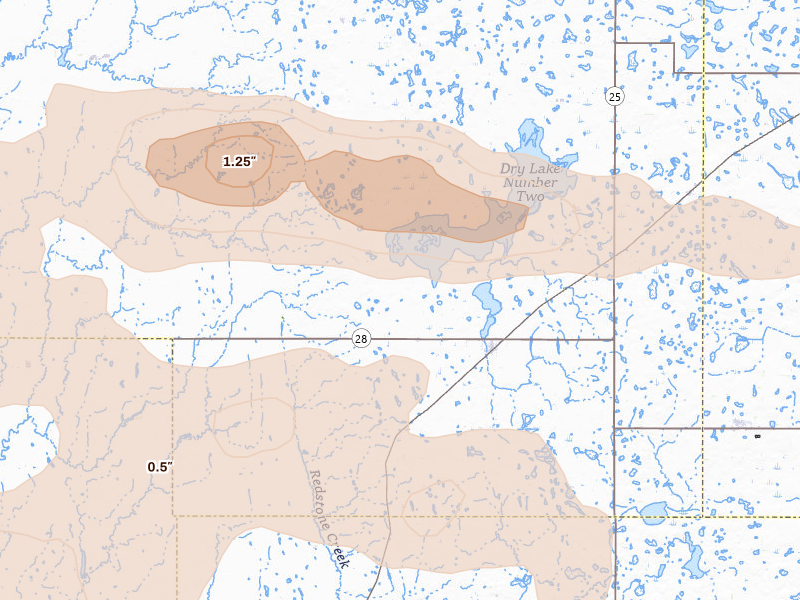
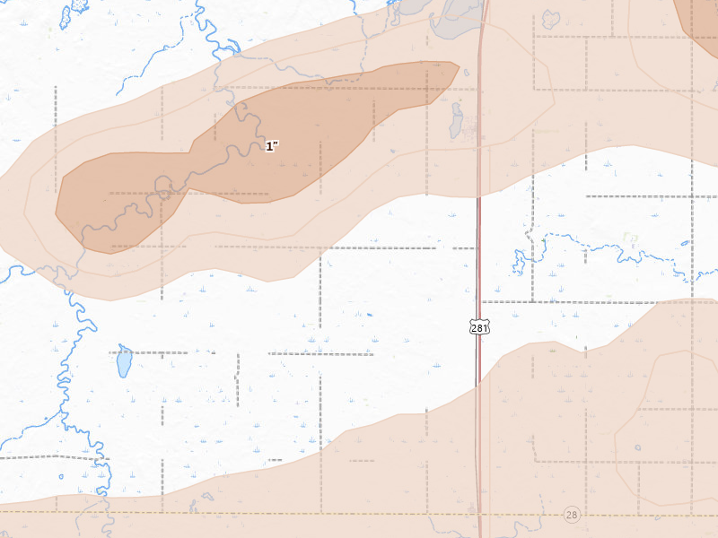
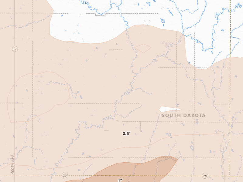
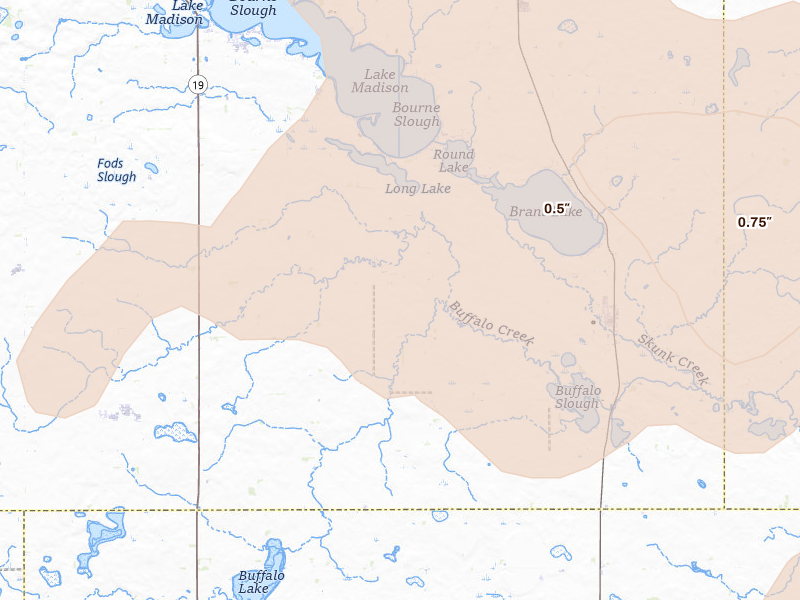
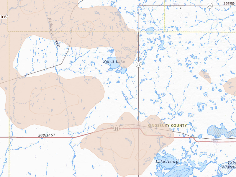
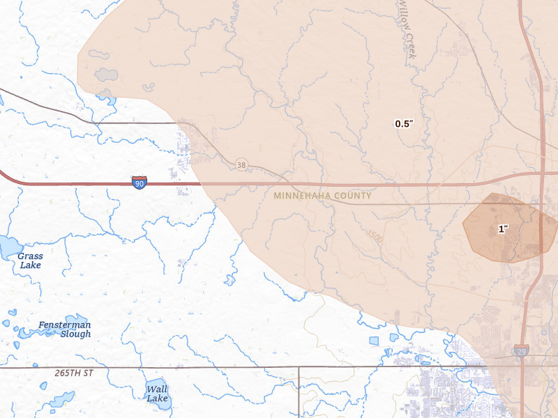
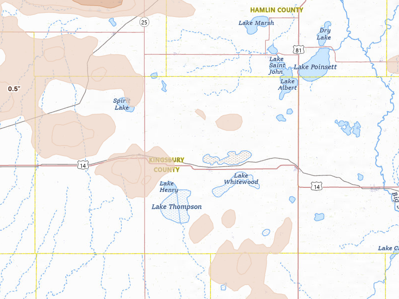
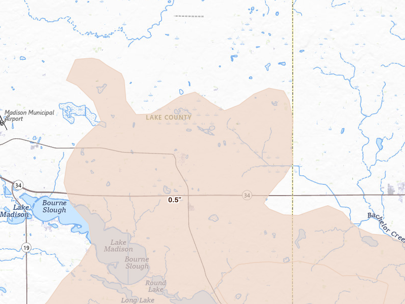
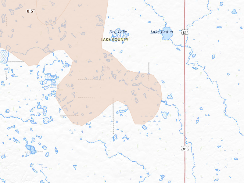
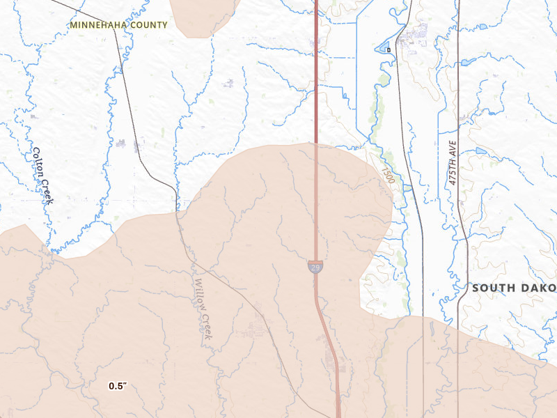
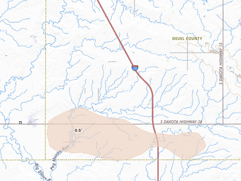
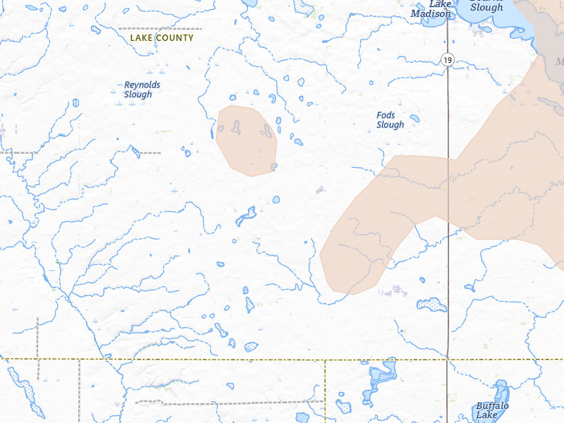
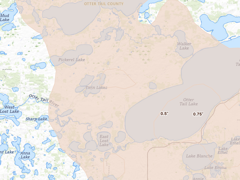
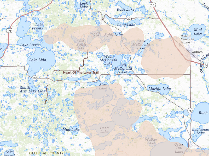
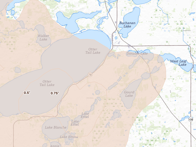
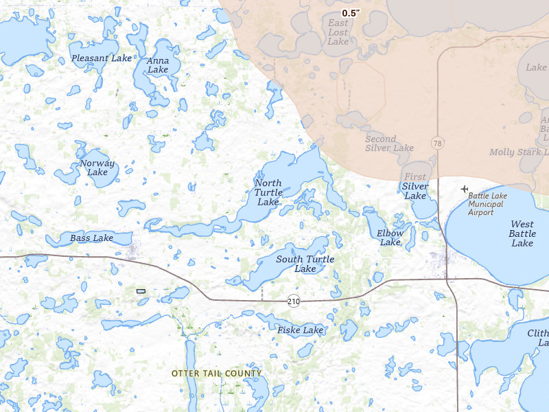
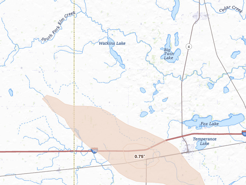
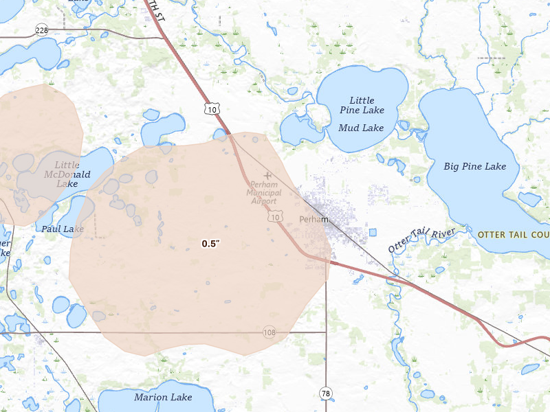
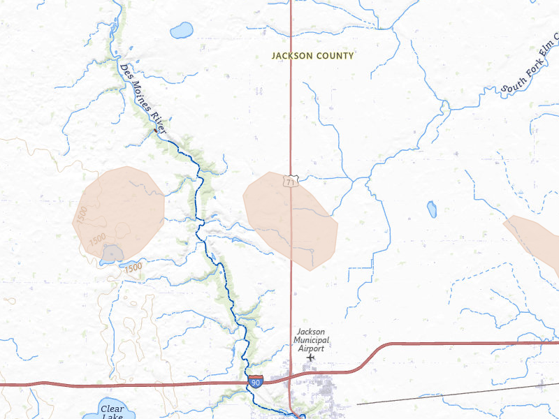
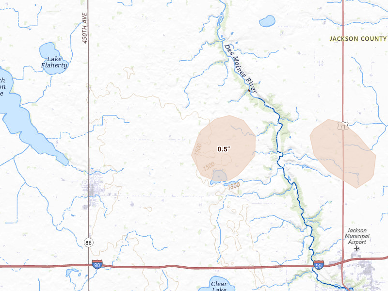
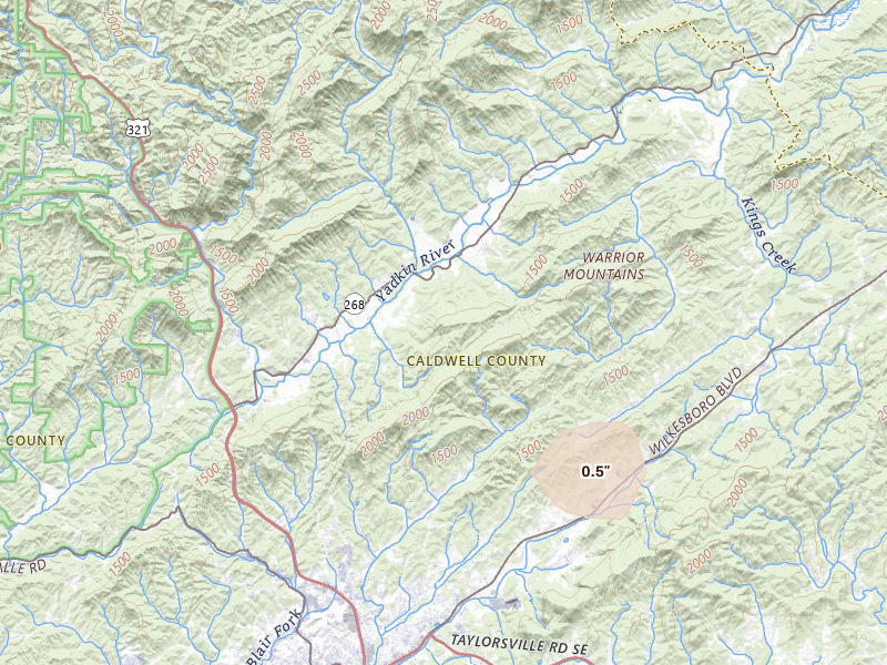
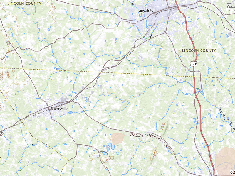
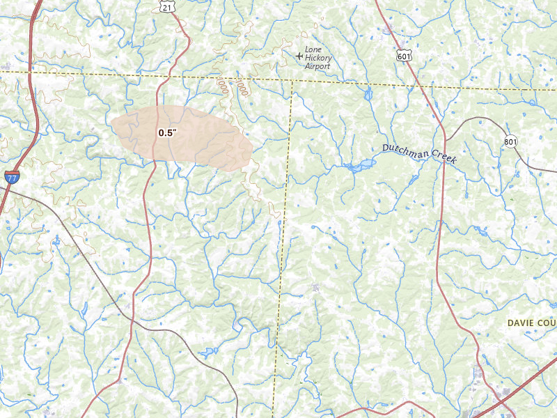
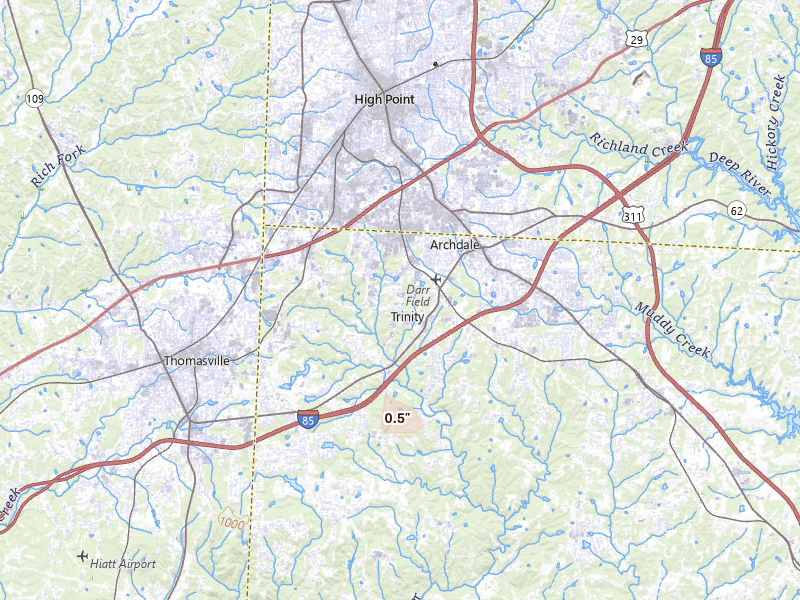
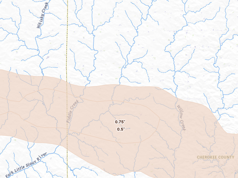
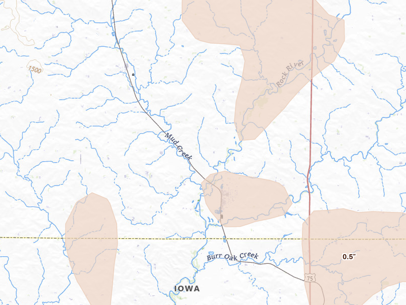
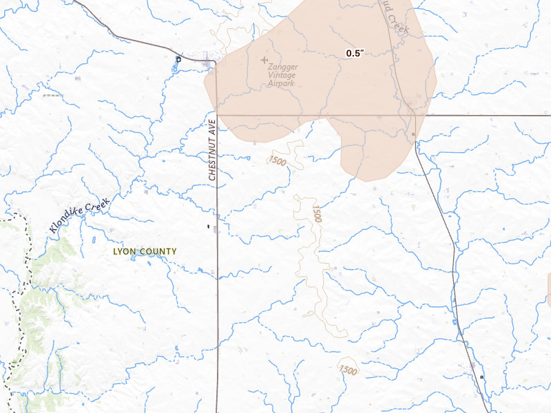
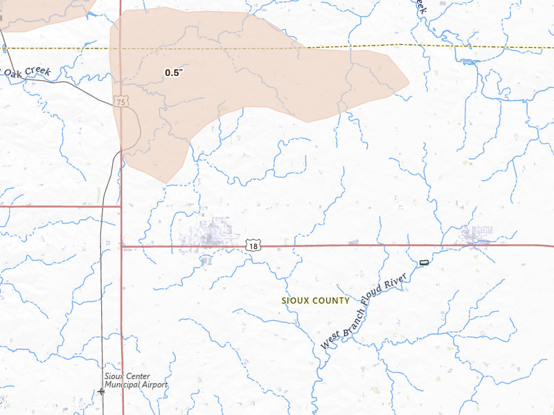
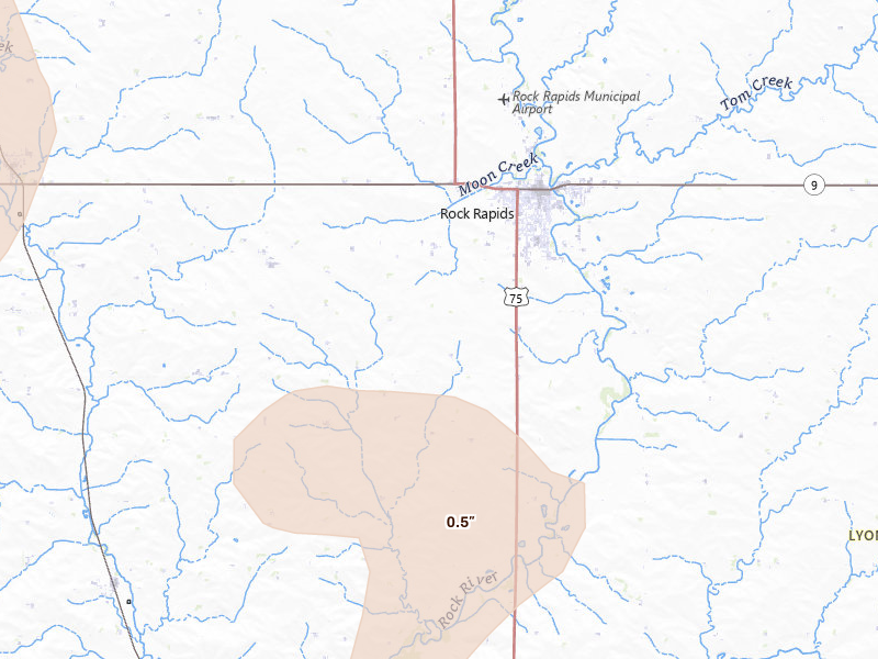
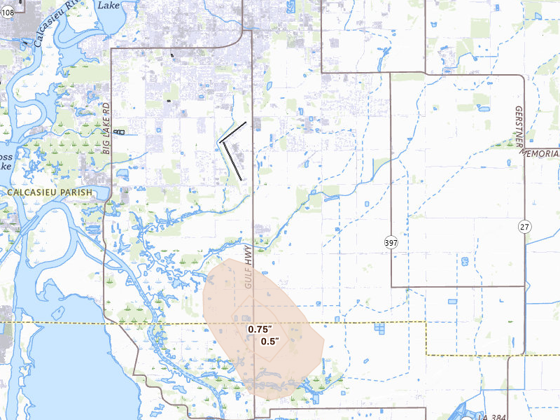
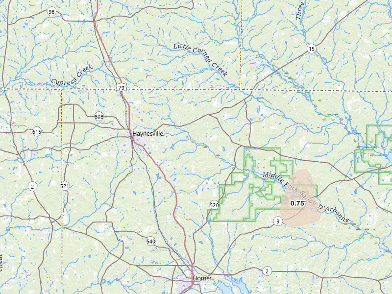
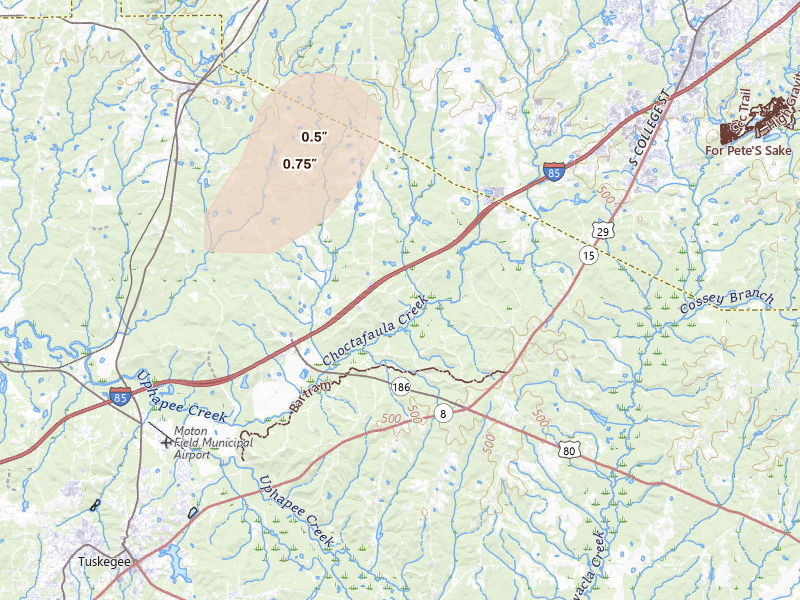
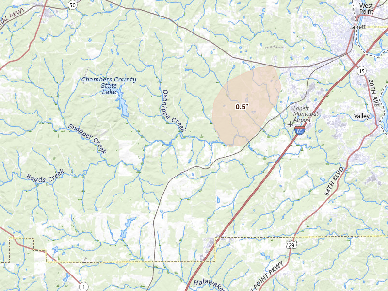
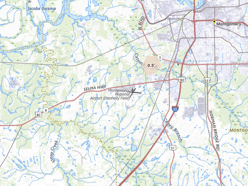
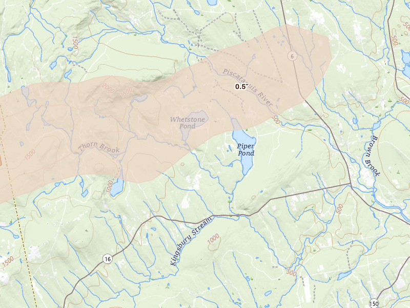
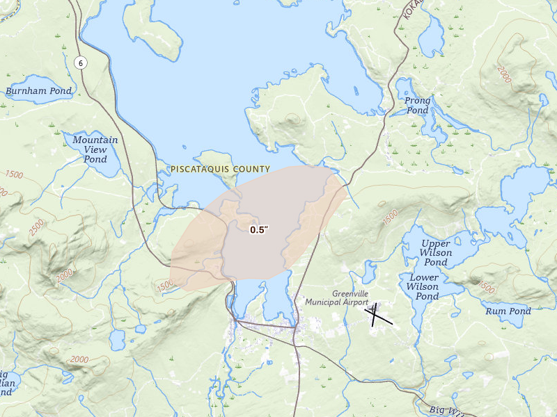
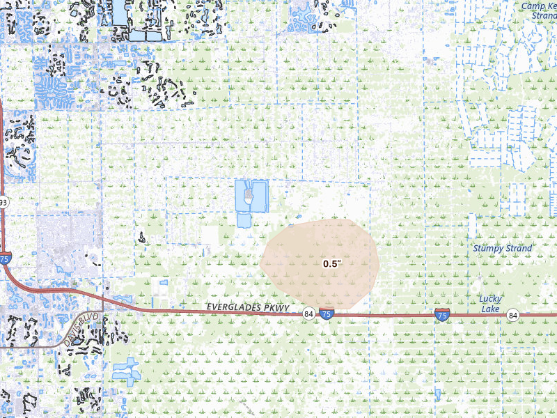
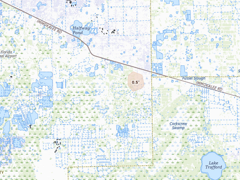
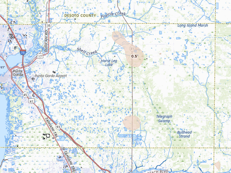
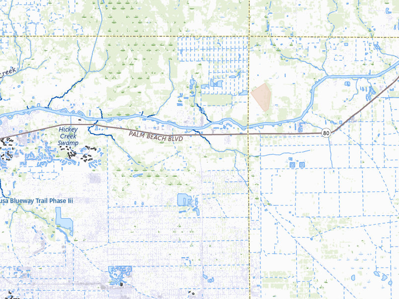
Aug 28, 2026 · Afton, WY: 1.5" peak radar signal · Radar-estimated size map

Mapped cities, by state

Every tracked city with a hail signal on Aug 28, 2026

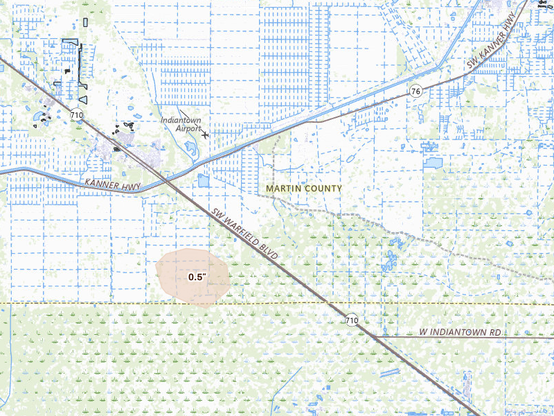
186 cities · up to 1.5" · 374,800 mapped homes · noon-to-noon UTC

Every tracked city that recorded hail on this convective day, biggest signal first. Each row opens that city's full storm record.

How to read this day

A storm day on Overview is a convective day — it runs from noon to noon UTC, so late-night hail is grouped with the afternoon storm that spawned it rather than split across two calendar dates. Everything below happened inside the Aug 28, 2026 convective day. Across those footprints sit roughly 374,800 homes, and 5 ground reports were filed with the National Weather Service.

The cities are listed with the biggest storm first, measured by Overview's severity score. Each row links through to that city's own storm page, where you'll find the radar surfaces, every ground report filed, and the hail footprint drawn on the map.

The counts here are the size of the set of cities Overview tracks — never "every US city" — so read a quiet day as "quiet among the places we watch," not as proof nothing happened elsewhere.

Texas

73 cities · up to 1.5" · 263,141 mapped homes
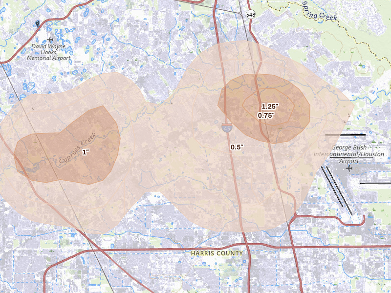
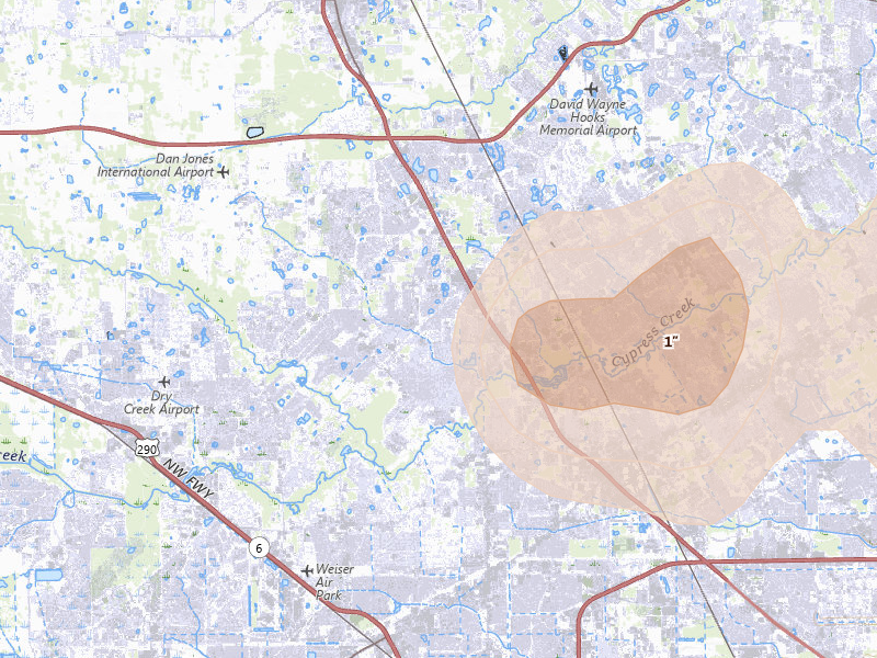
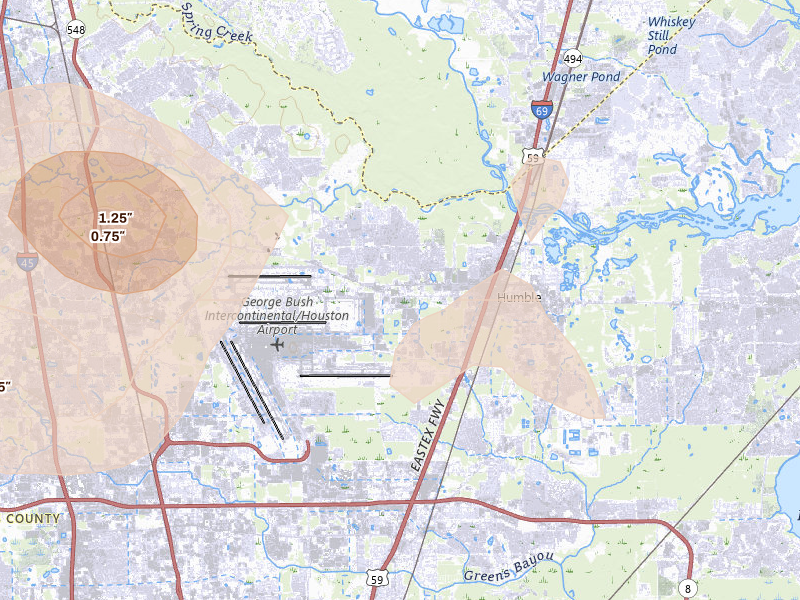
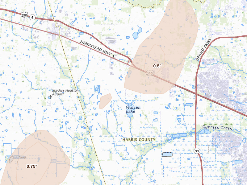
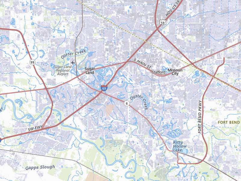
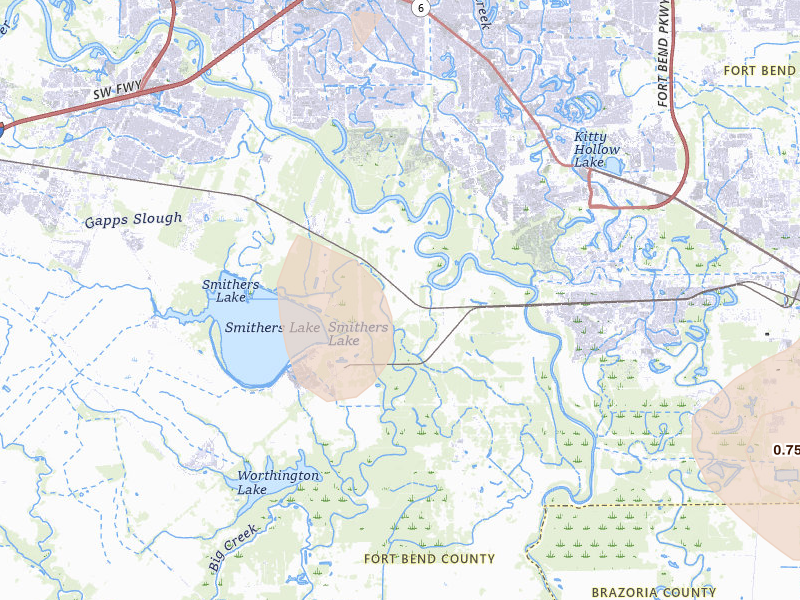
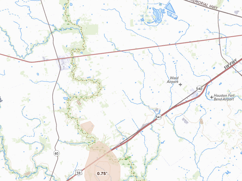
Houston, TX 4.6 /10 severity
1.25" peak signal 74,380 mapped homes 1 ground report
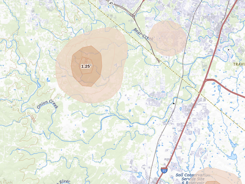
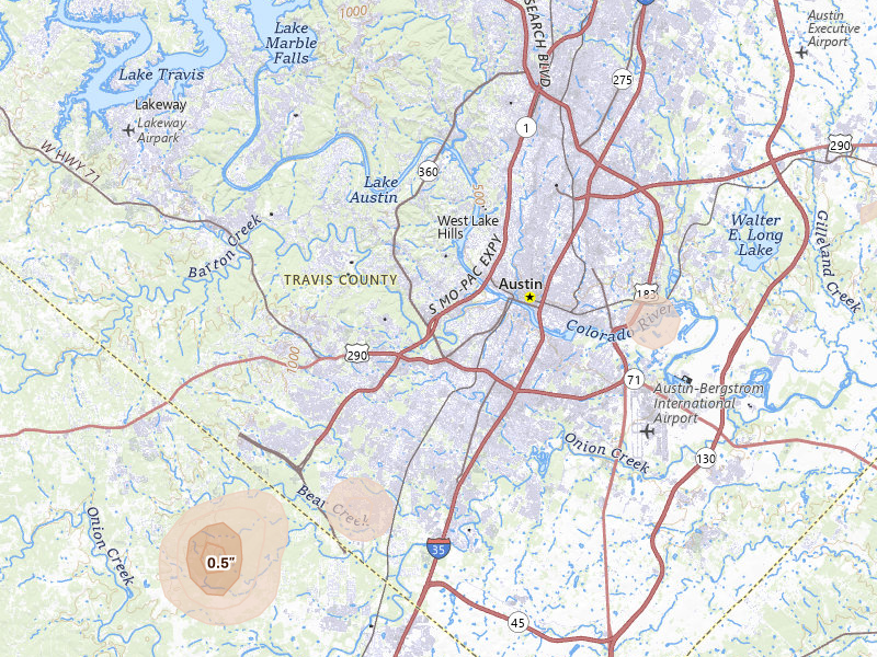
Austin, TX 3.8 /10 severity
1.25" peak signal 6,212 mapped homes No ground reports
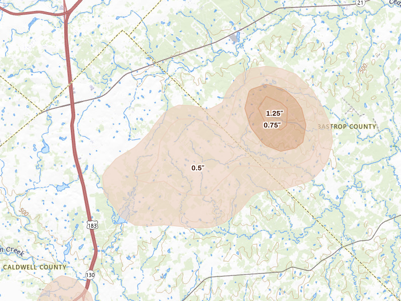
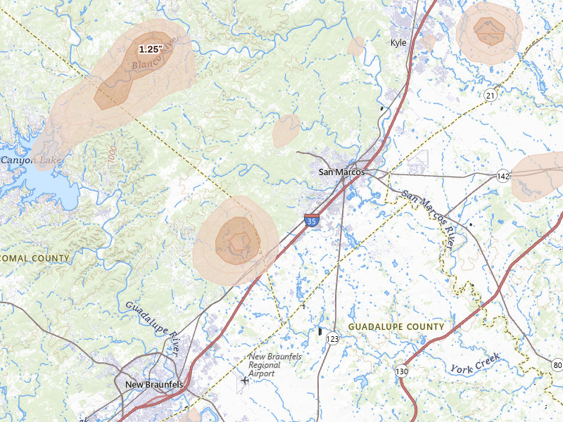
Buda, TX 3.8 /10 severity
1.25" peak signal 5,986 mapped homes No ground reports
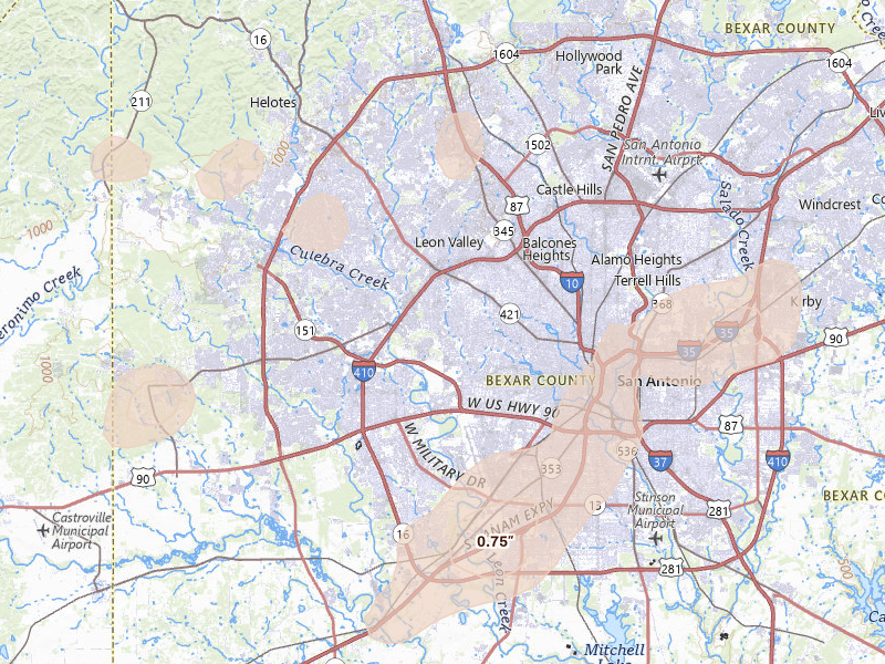
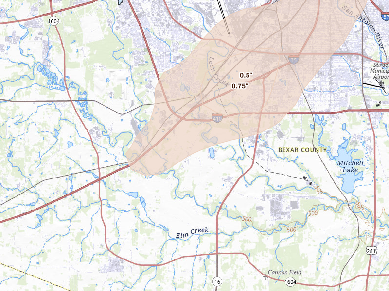
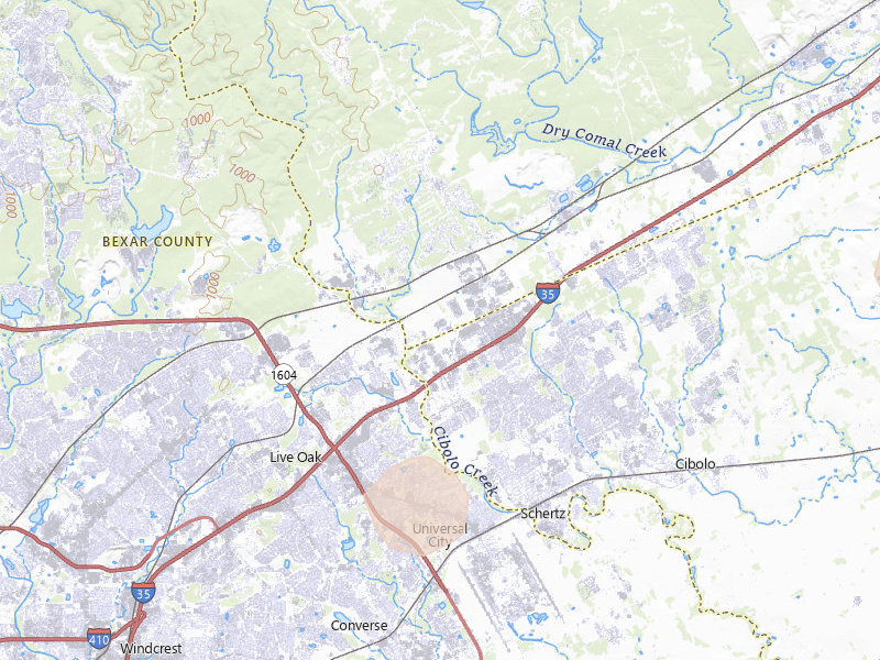
San Antonio, TX 3.8 /10 severity
0.75" peak signal 80,321 mapped homes 1 ground report
Dale, TX 3.7 /10 severity
1.25" peak signal 4,037 mapped homes No ground reports
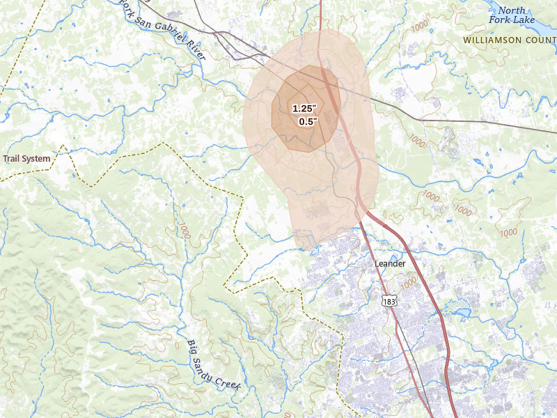
Leander, TX 3.7 /10 severity
1.25" peak signal 4,110 mapped homes No ground reports
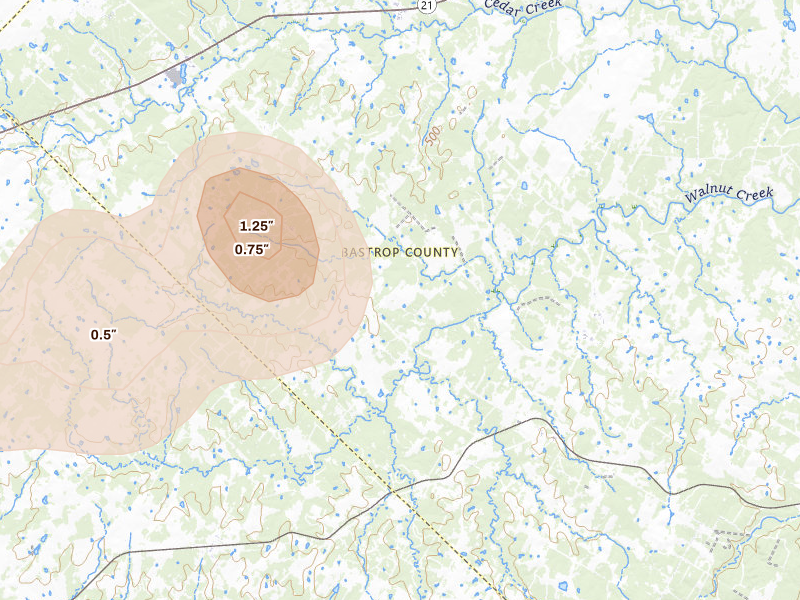
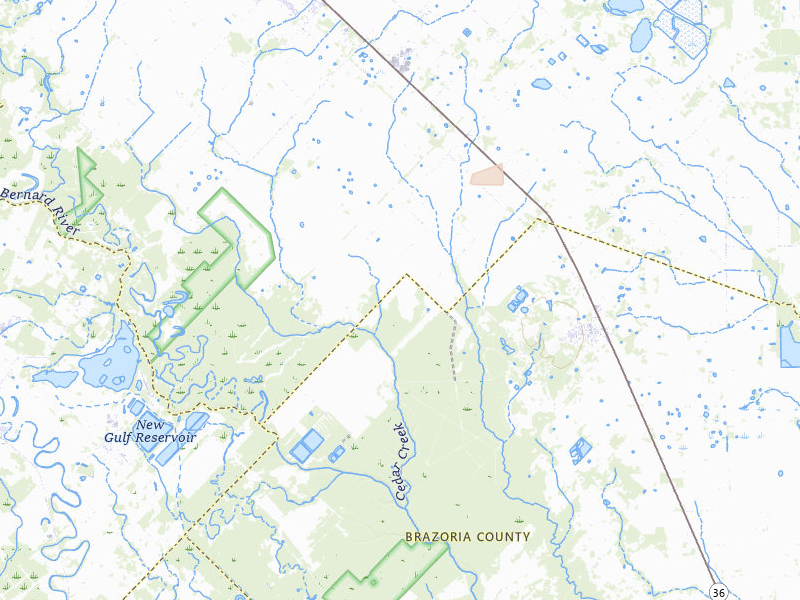
Cedar Creek, TX 3.6 /10 severity
1.25" peak signal 2,322 mapped homes No ground reports
Tomball, TX 3.6 /10 severity
1" peak signal 19,934 mapped homes No ground reports
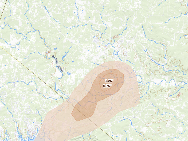
Wimberley, TX 3.6 /10 severity
1.25" peak signal 3,158 mapped homes No ground reports
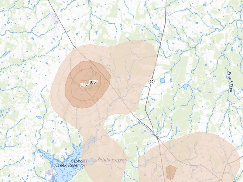
Bedias, TX 3.5 /10 severity
1.5" peak signal 364 mapped homes No ground reports
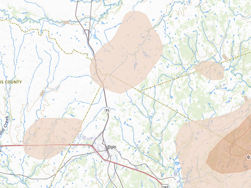
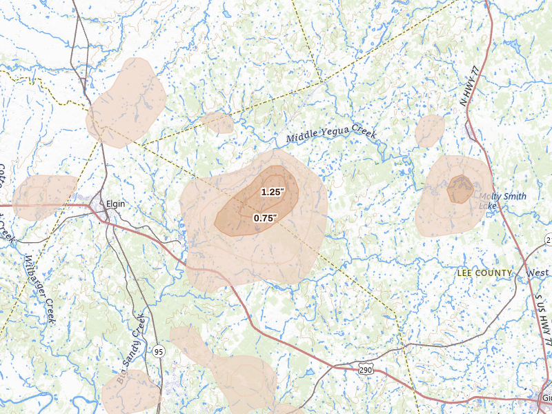
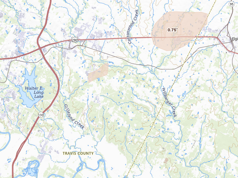
Elgin, TX 3.5 /10 severity
1.25" peak signal 1,904 mapped homes No ground reports
Mc Dade, TX 3.4 /10 severity
1.25" peak signal 1,037 mapped homes No ground reports
San Marcos, TX 3.4 /10 severity
1.25" peak signal 1,167 mapped homes No ground reports
Humble, TX 3.3 /10 severity
1" peak signal 4,629 mapped homes No ground reports
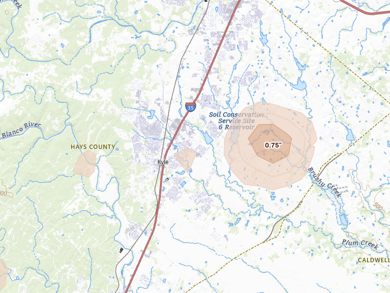
Kyle, TX 3.3 /10 severity
1" peak signal 3,713 mapped homes No ground reports
Von Ormy, TX 3.2 /10 severity
0.75" peak signal 16,696 mapped homes No ground reports
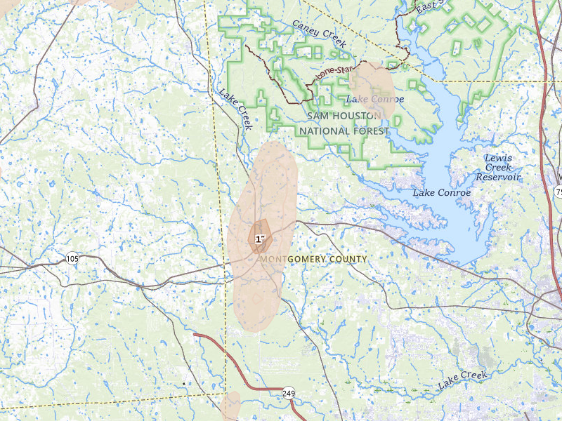
Montgomery, TX 3.1 /10 severity
1" peak signal 1,480 mapped homes No ground reports
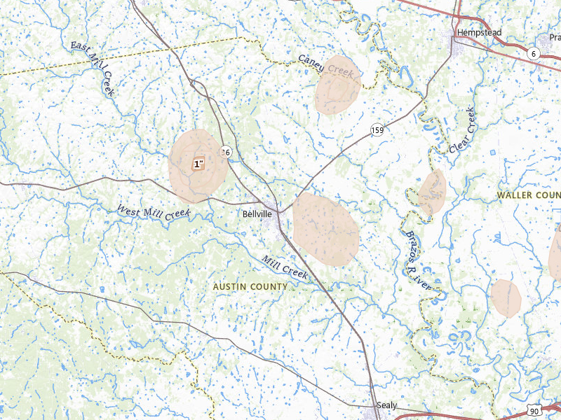
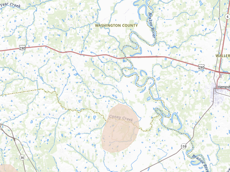
Bellville, TX 3.0 /10 severity
1" peak signal 840 mapped homes No ground reports
Richards, TX 3.0 /10 severity
1" peak signal 972 mapped homes No ground reports
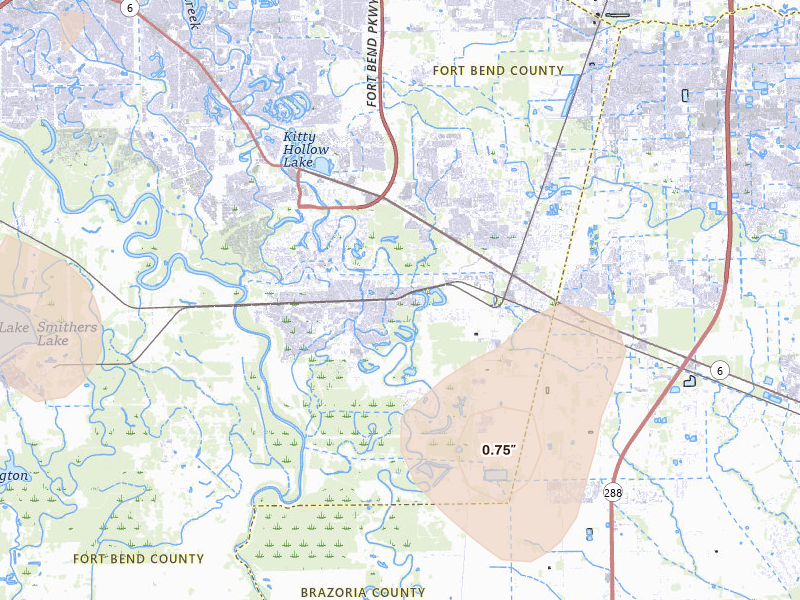
Missouri City, TX 2.9 /10 severity
0.75" peak signal 3,377 mapped homes No ground reports
Paige, TX 2.9 /10 severity
1" peak signal 680 mapped homes No ground reports
Anderson, TX 2.8 /10 severity
1" peak signal 461 mapped homes No ground reports
Hockley, TX 2.8 /10 severity
0.75" peak signal 2,781 mapped homes No ground reports
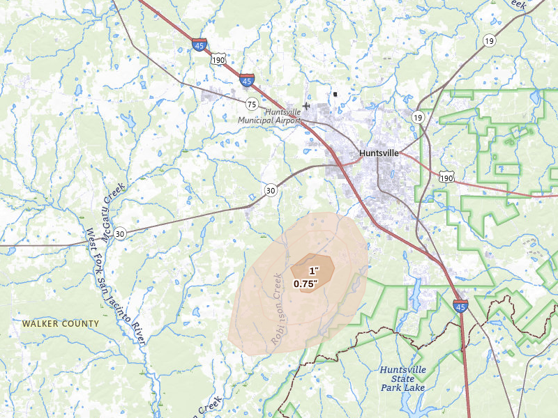
Huntsville, TX 2.8 /10 severity
1" peak signal 400 mapped homes No ground reports
Magnolia, TX 2.8 /10 severity
0.75" peak signal 2,063 mapped homes No ground reports
Smithville, TX 2.8 /10 severity
1" peak signal 413 mapped homes No ground reports
Lexington, TX 2.7 /10 severity
1" peak signal 304 mapped homes No ground reports
Muldoon, TX 2.7 /10 severity
1" peak signal 217 mapped homes No ground reports
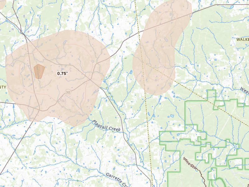
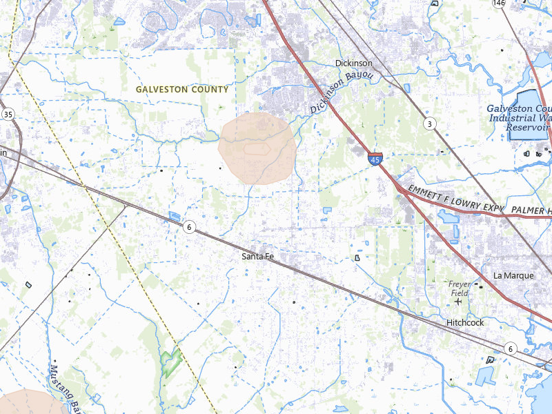
Santa Fe, TX 2.7 /10 severity
0.75" peak signal 1,358 mapped homes No ground reports
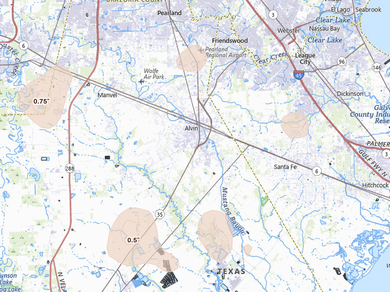
Alvin, TX 2.6 /10 severity
0.75" peak signal 897 mapped homes No ground reports
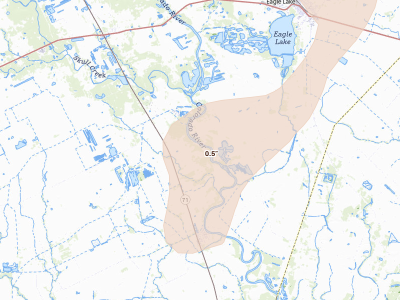
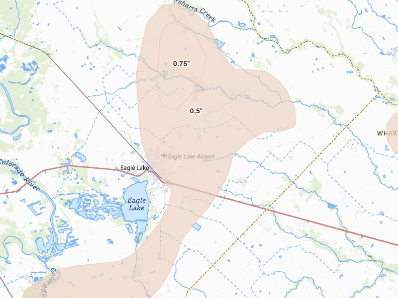
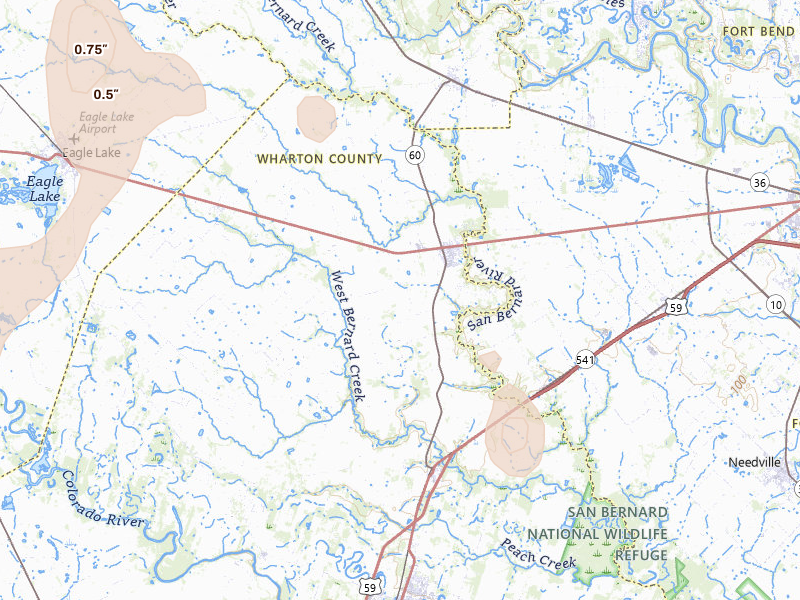
Eagle Lake, TX 2.6 /10 severity
0.75" peak signal 878 mapped homes No ground reports
Franklin, TX 2.6 /10 severity
1" peak signal 177 mapped homes No ground reports
Manor, TX 2.6 /10 severity
0.75" peak signal 1,100 mapped homes No ground reports
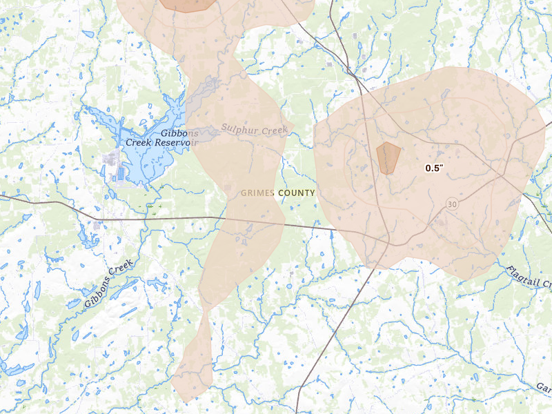
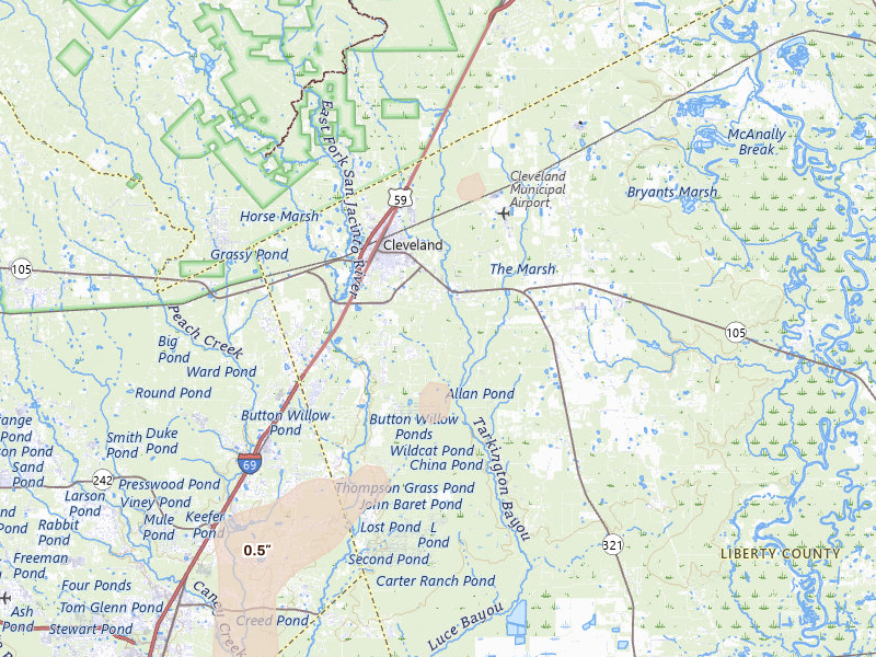
Cleveland, TX 2.5 /10 severity
0.5" peak signal 3,105 mapped homes No ground reports
Ledbetter, TX 2.5 /10 severity
1" peak signal 109 mapped homes No ground reports
Marion, TX 2.5 /10 severity
0.5" peak signal 2,876 mapped homes No ground reports
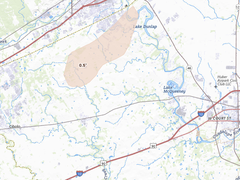
Schertz, TX 2.5 /10 severity
0.5" peak signal 2,935 mapped homes No ground reports
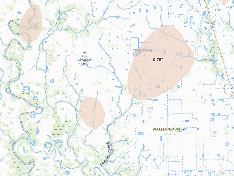
Brookshire, TX 2.4 /10 severity
0.75" peak signal 299 mapped homes No ground reports
East Bernard, TX 2.4 /10 severity
0.75" peak signal 297 mapped homes No ground reports
Liverpool, TX 2.4 /10 severity
0.75" peak signal 290 mapped homes No ground reports
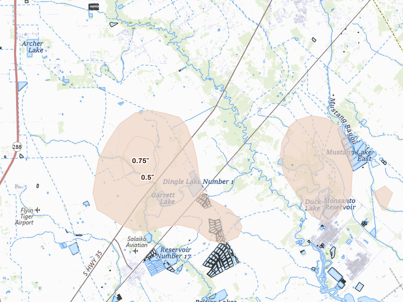
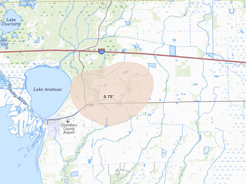
Anahuac, TX 2.3 /10 severity
0.75" peak signal 223 mapped homes No ground reports
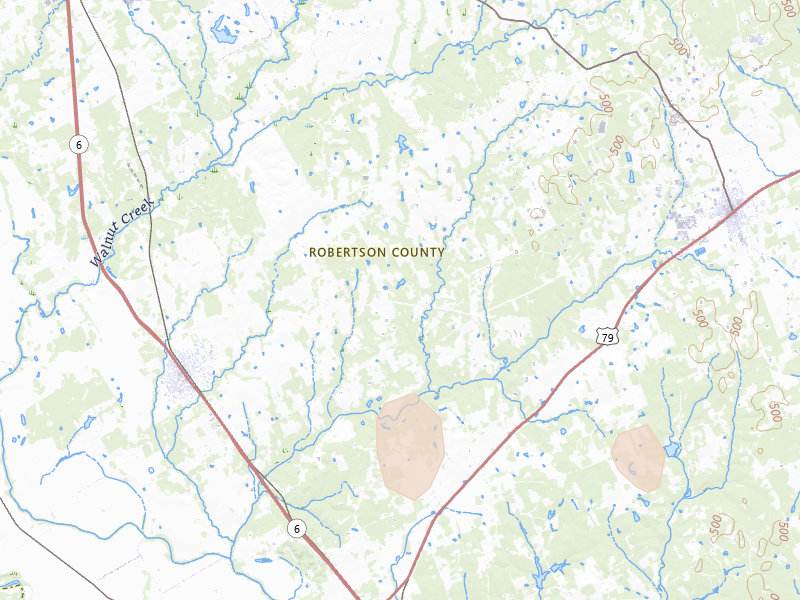
Bryan, TX 2.3 /10 severity
0.75" peak signal 208 mapped homes No ground reports
Chappell Hill, TX 2.3 /10 severity
0.75" peak signal 204 mapped homes No ground reports
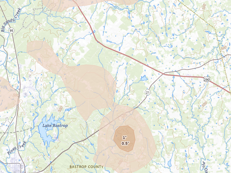
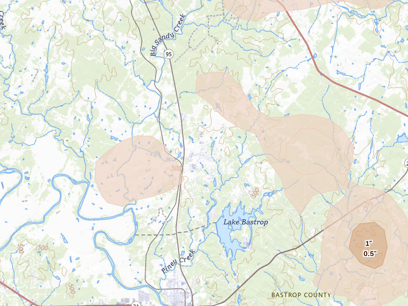
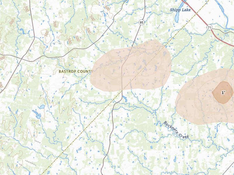
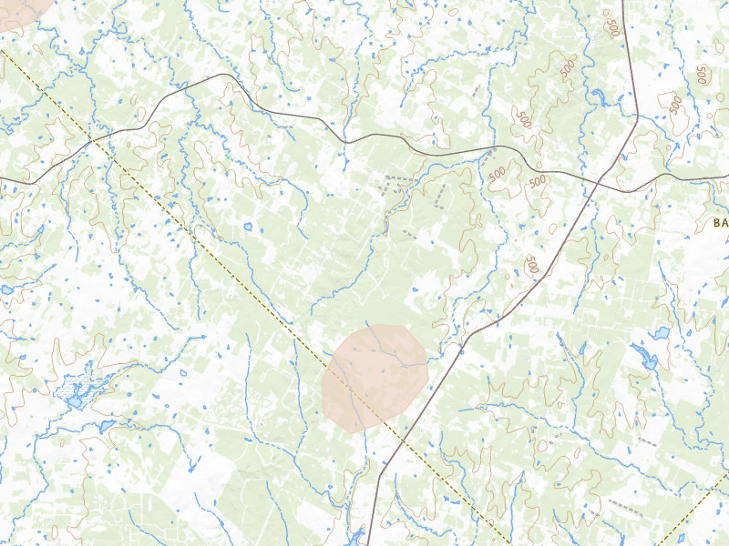
Bastrop, TX 2.2 /10 severity
0.75" peak signal 171 mapped homes No ground reports
Flatonia, TX 2.2 /10 severity
0.75" peak signal 154 mapped homes No ground reports
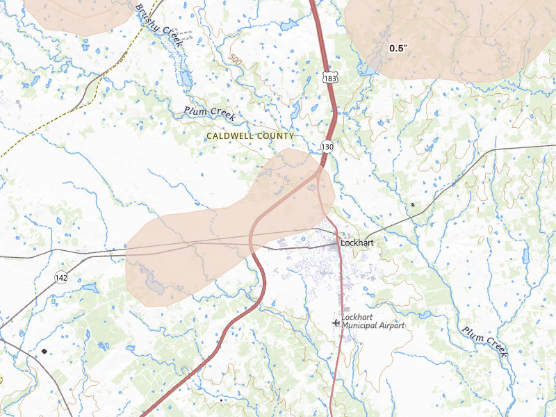
Lockhart, TX 2.2 /10 severity
0.5" peak signal 707 mapped homes No ground reports
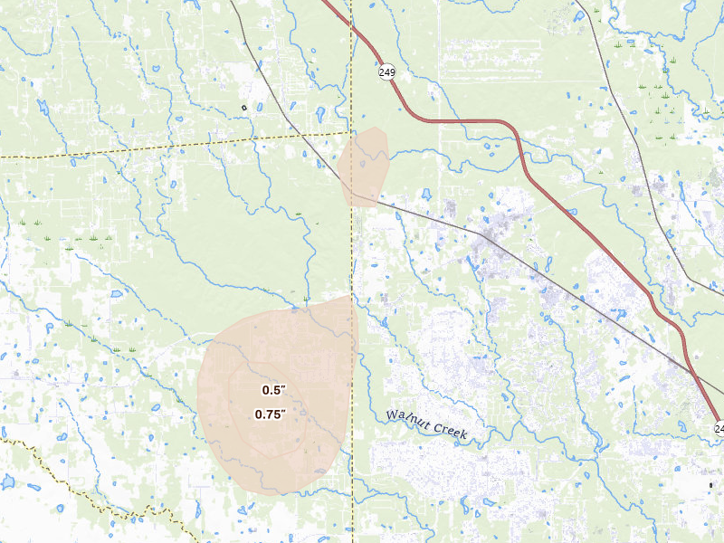
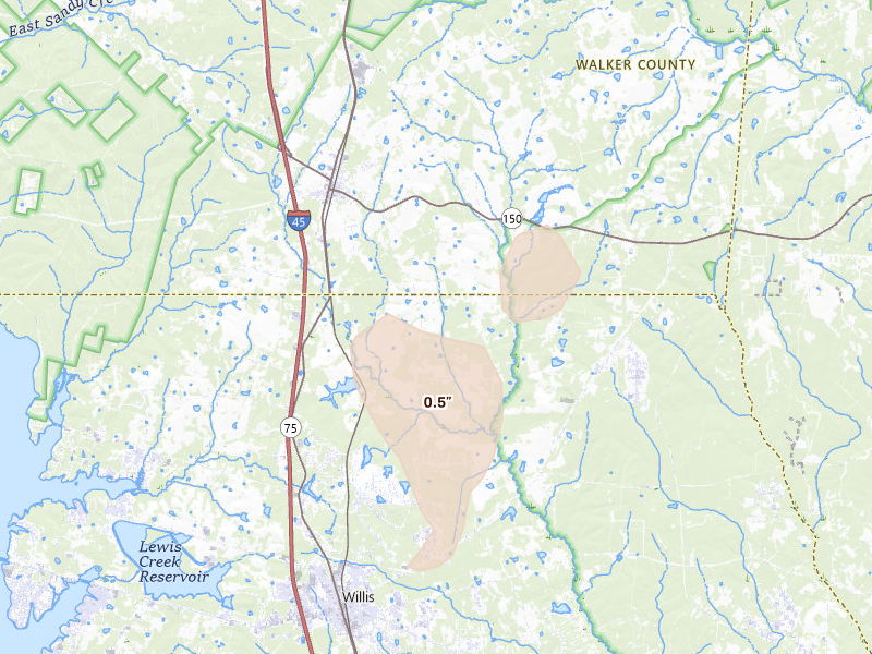
Willis, TX 2.2 /10 severity
0.5" peak signal 721 mapped homes No ground reports
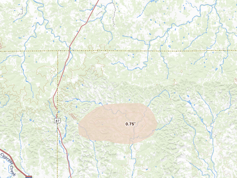
Fredericksburg, TX 2.1 /10 severity
0.75" peak signal 90 mapped homes No ground reports
Garwood, TX 2.1 /10 severity
0.5" peak signal 557 mapped homes No ground reports
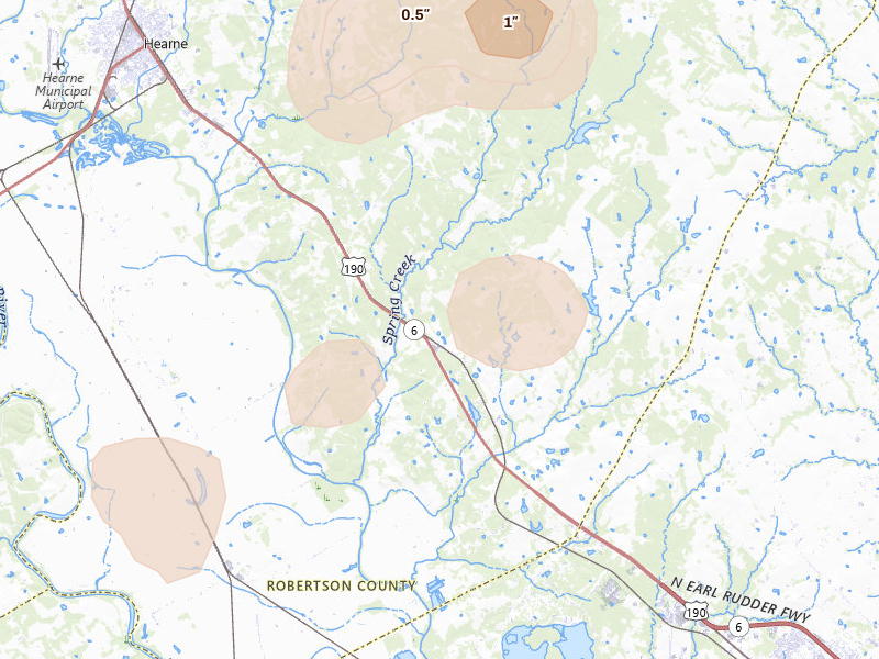
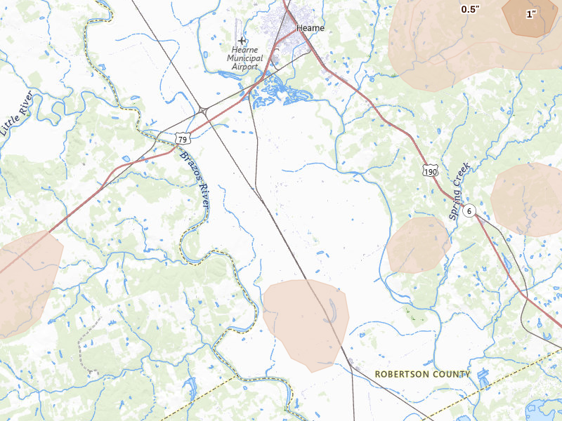
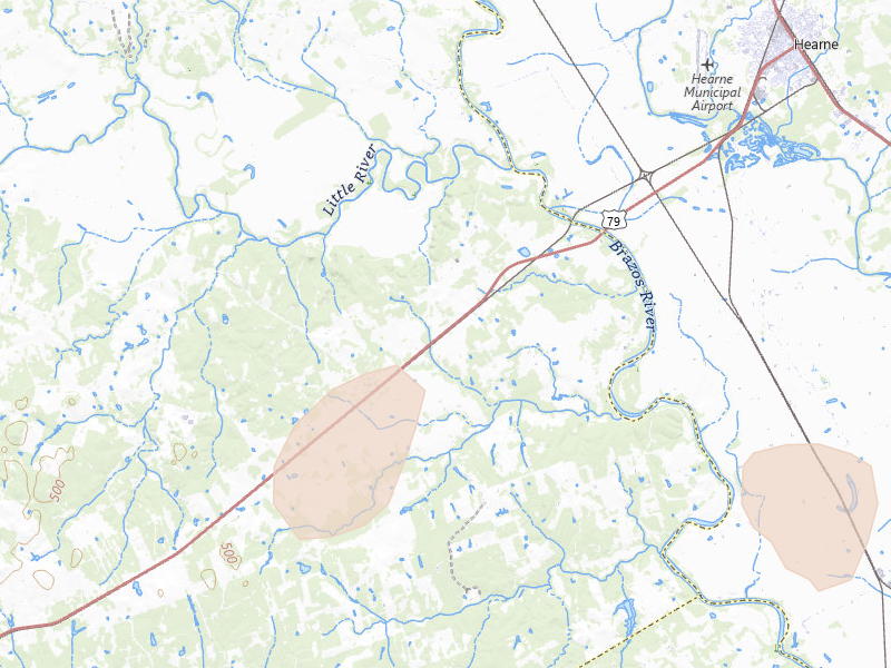
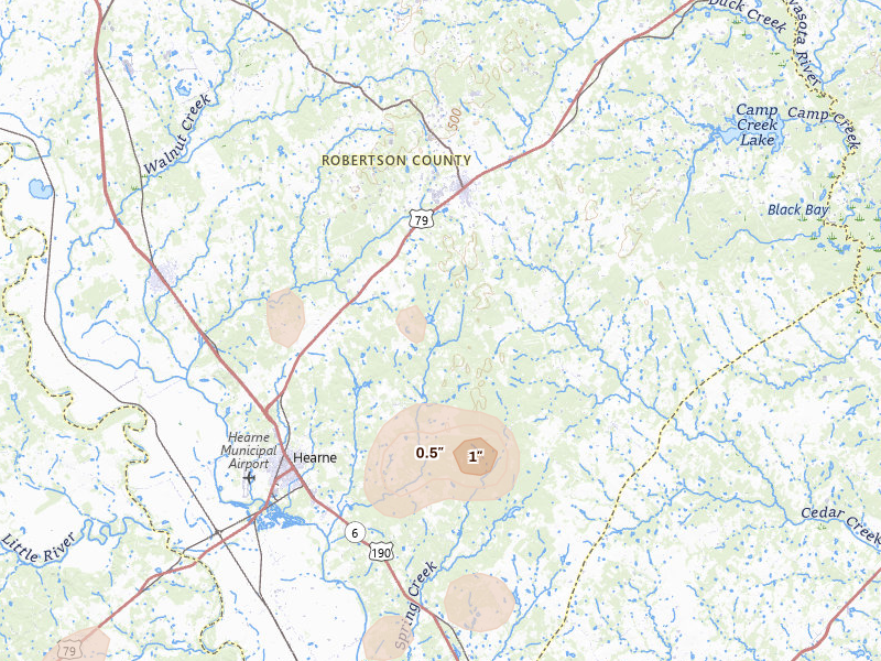
Hearne, TX 2.1 /10 severity
0.75" peak signal 74 mapped homes No ground reports
Sugar Land, TX 2.1 /10 severity
0.5" peak signal 483 mapped homes No ground reports
Gause, TX 2.0 /10 severity
0.5" peak signal 254 mapped homes No ground reports
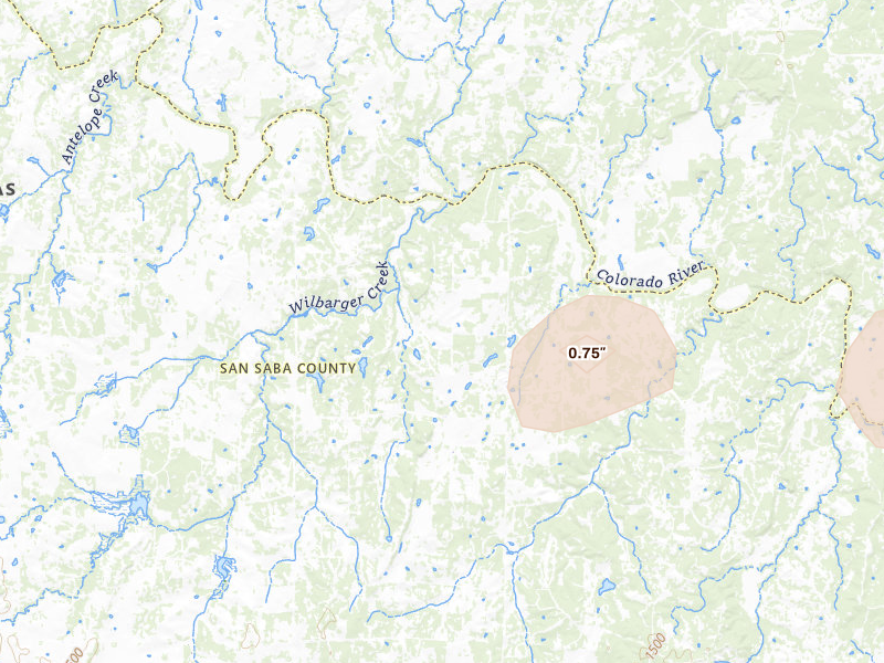
San Saba, TX 2.0 /10 severity
0.75" peak signal 62 mapped homes No ground reports
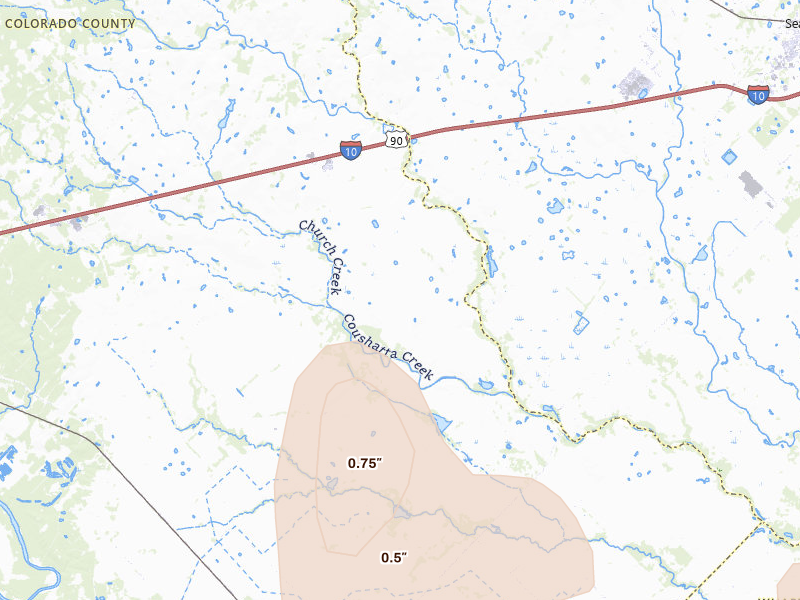
Bay City, TX 1.9 /10 severity
0.5" peak signal 158 mapped homes No ground reports
Burnet, TX 1.9 /10 severity
0.5" peak signal 221 mapped homes No ground reports
Richland Springs, TX 1.9 /10 severity
0.75" peak signal 29 mapped homes No ground reports
Richmond, TX 1.8 /10 severity
0.5" peak signal 145 mapped homes No ground reports
Beasley, TX 1.7 /10 severity
0.5" peak signal 66 mapped homes No ground reports
Navasota, TX 1.7 /10 severity
0.5" peak signal 68 mapped homes No ground reports
Victoria, TX 1.7 /10 severity
0.5" peak signal 84 mapped homes No ground reports
Calvert, TX 1.6 /10 severity
0.5" peak signal 41 mapped homes No ground reports
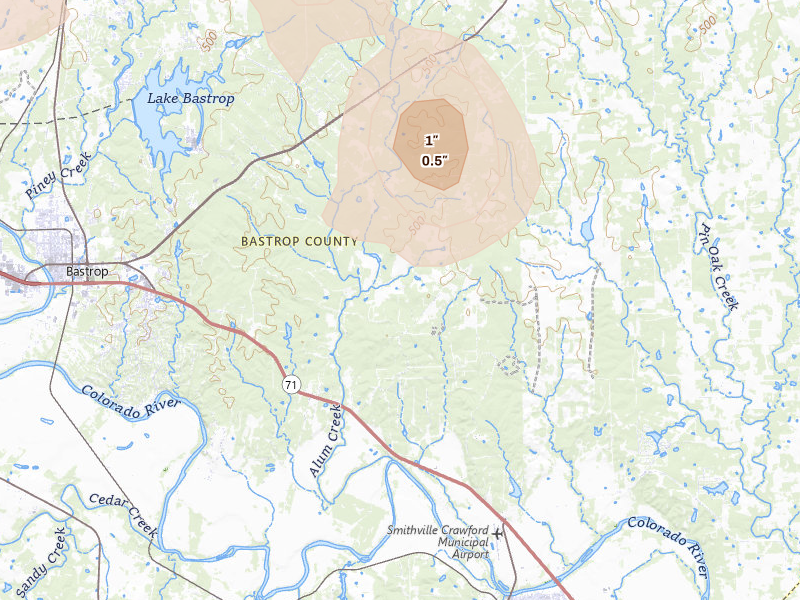
Cat Spring, TX 1.6 /10 severity
0.75" peak signal 10 mapped homes No ground reports
Rosanky, TX 1.6 /10 severity
0.5" peak signal 53 mapped homes No ground reports
Burton, TX 1.4 /10 severity
0.5" peak signal 18 mapped homes No ground reports
La Grange, TX 1.4 /10 severity
0.5" peak signal 15 mapped homes No ground reports
Santa Anna, TX 1.4 /10 severity
0.5" peak signal 20 mapped homes No ground reports
Fredonia, TX 1.2 /10 severity
0.5" peak signal 6 mapped homes No ground reports
Hempstead, TX 1.2 /10 severity
0.5" peak signal 9 mapped homes No ground reports
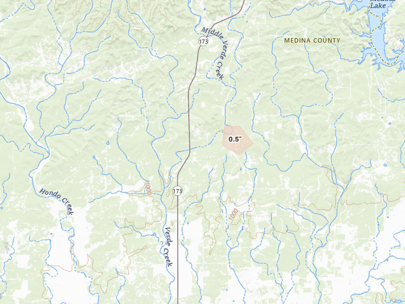
Hondo, TX 1.2 /10 severity
0.5" peak signal 6 mapped homes No ground reports
Guy, TX 1.0 /10 severity
0.5" peak signal 2 mapped homes No ground reports
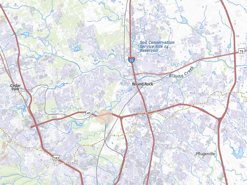
Round Rock, TX 1.0 /10 severity
0.5" peak signal 2 mapped homes No ground reports
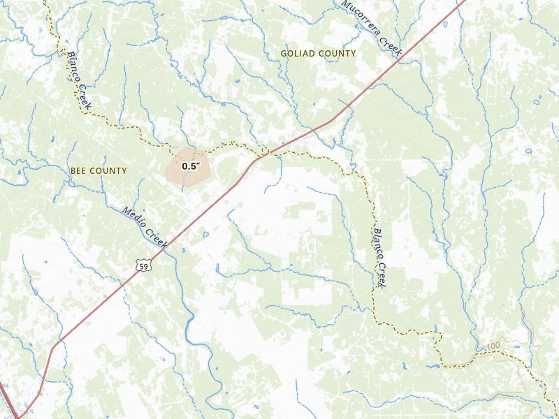
Beeville, TX 0.9 /10 severity
0.5" peak signal 1 mapped homes No ground reports
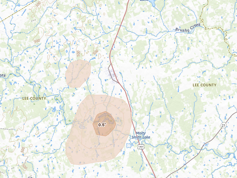
Pleasanton, TX 0.8 /10 severity
0.5" peak signal 0 mapped homes No ground reports
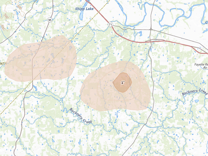
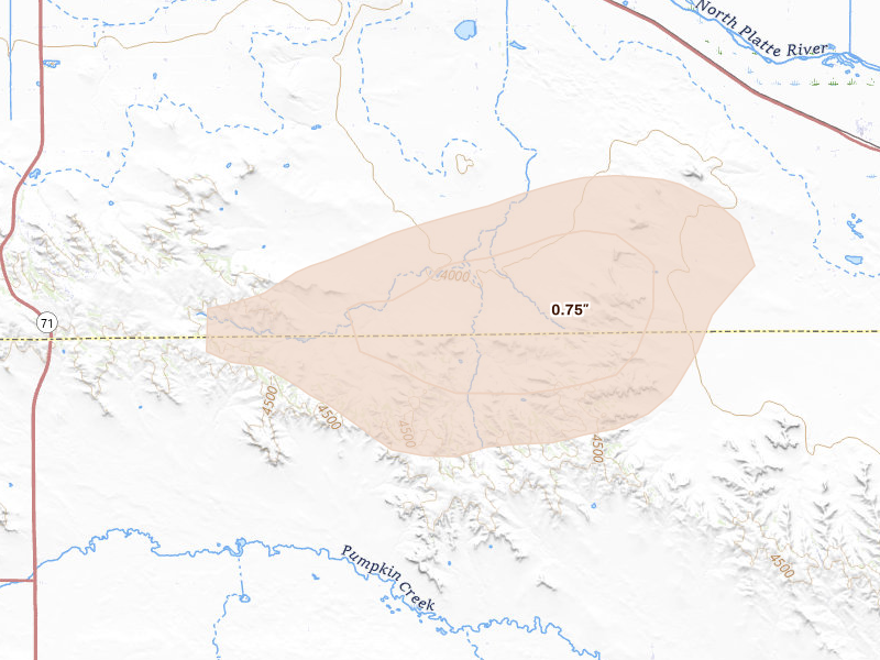
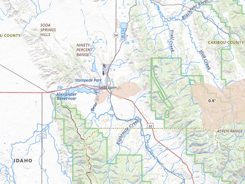
Wyoming

2 cities · up to 1.5" · 3,026 mapped homes
South Dakota

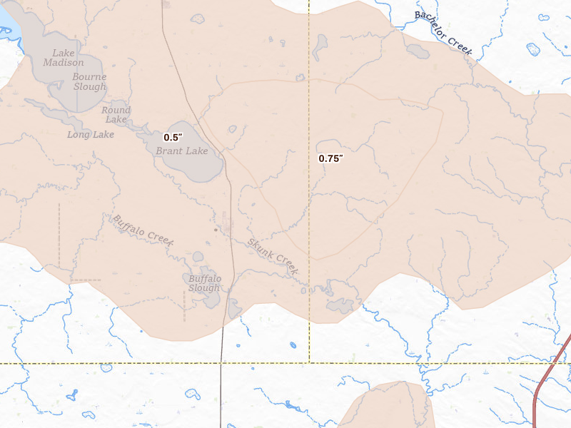
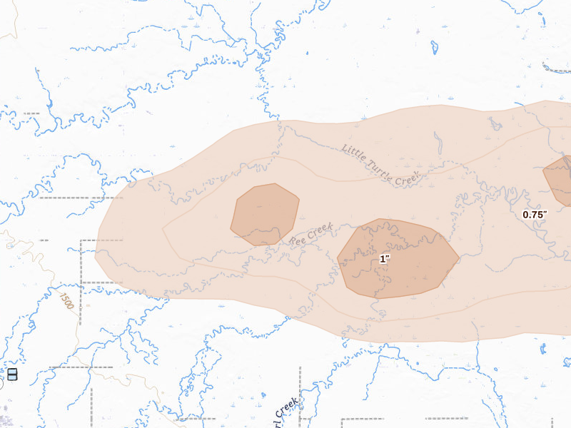
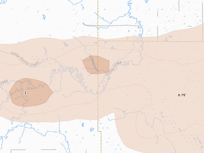
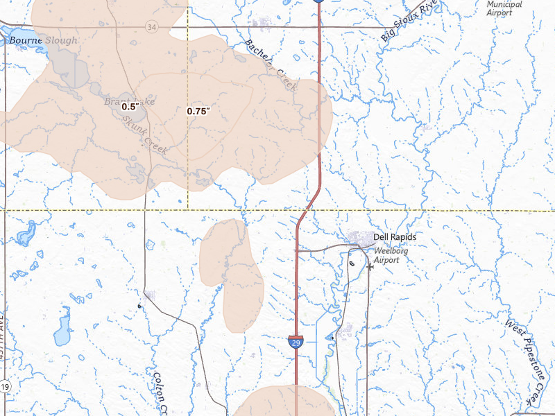
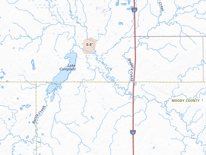
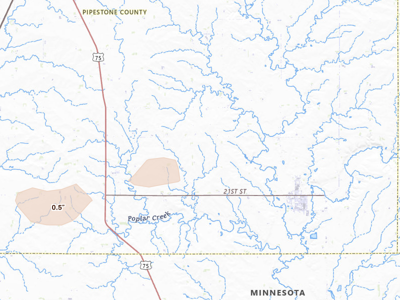
29 cities · up to 1.5" · 65,118 mapped homes
Sioux Falls, SD 3.8 /10 severity
1" peak signal 45,989 mapped homes No ground reports
Frankfort, SD 3.6 /10 severity
1.5" peak signal 443 mapped homes No ground reports
Hitchcock, SD 3.5 /10 severity
1.25" peak signal 2,022 mapped homes No ground reports
Redfield, SD 3.5 /10 severity
1.5" peak signal 306 mapped homes No ground reports
Carpenter, SD 3.4 /10 severity
1.25" peak signal 1,069 mapped homes No ground reports
Willow Lake, SD 3.3 /10 severity
1.25" peak signal 749 mapped homes No ground reports
Tulare, SD 2.9 /10 severity
1" peak signal 519 mapped homes No ground reports
Doland, SD 2.8 /10 severity
1" peak signal 358 mapped homes No ground reports
Chester, SD 2.7 /10 severity
0.75" peak signal 1,407 mapped homes No ground reports
De Smet, SD 2.7 /10 severity
0.75" peak signal 1,573 mapped homes No ground reports
Hartford, SD 2.7 /10 severity
0.75" peak signal 1,585 mapped homes No ground reports
Lake Preston, SD 2.7 /10 severity
0.75" peak signal 1,197 mapped homes No ground reports
Wentworth, SD 2.7 /10 severity
0.75" peak signal 1,392 mapped homes No ground reports
Colman, SD 2.6 /10 severity
0.75" peak signal 1,041 mapped homes No ground reports
Saint Lawrence, SD 2.6 /10 severity
1" peak signal 155 mapped homes No ground reports
Wessington, SD 2.6 /10 severity
1" peak signal 183 mapped homes No ground reports
Dell Rapids, SD 2.5 /10 severity
0.75" peak signal 624 mapped homes No ground reports
Huron, SD 2.5 /10 severity
0.75" peak signal 504 mapped homes No ground reports
Iroquois, SD 2.5 /10 severity
0.75" peak signal 572 mapped homes No ground reports
Oldham, SD 2.5 /10 severity
0.75" peak signal 561 mapped homes No ground reports
Yale, SD 2.5 /10 severity
0.75" peak signal 519 mapped homes No ground reports
Ramona, SD 2.4 /10 severity
0.75" peak signal 429 mapped homes No ground reports
Crooks, SD 2.3 /10 severity
0.5" peak signal 1,528 mapped homes No ground reports
Vienna, SD 2.0 /10 severity
0.5" peak signal 87 mapped homes 1 ground report
Estelline, SD 1.8 /10 severity
0.5" peak signal 122 mapped homes No ground reports
Madison, SD 1.8 /10 severity
0.5" peak signal 123 mapped homes No ground reports
Erwin, SD 1.5 /10 severity
0.5" peak signal 25 mapped homes No ground reports
Montrose, SD 1.5 /10 severity
0.5" peak signal 31 mapped homes No ground reports
Brookings, SD 1.1 /10 severity
0.5" peak signal 5 mapped homes No ground reports

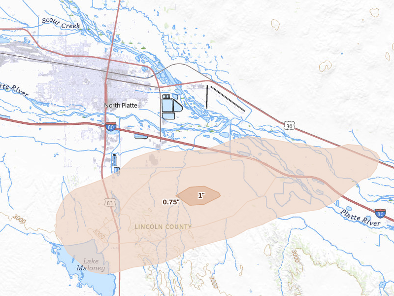
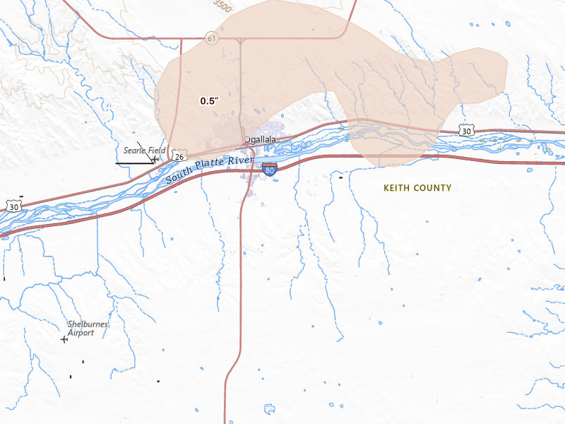
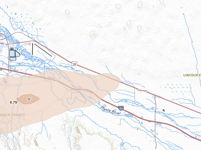
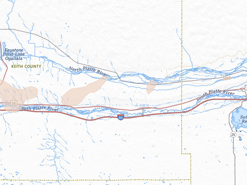
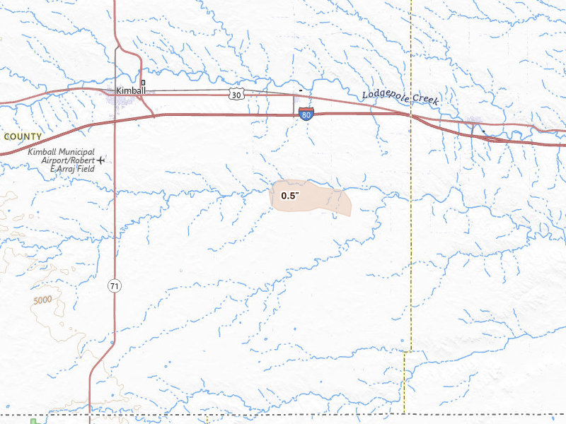
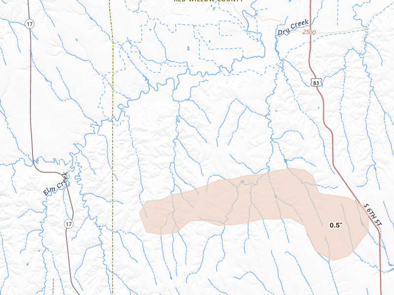
Nebraska

7 cities · up to 1" · 2,906 mapped homes

Georgia

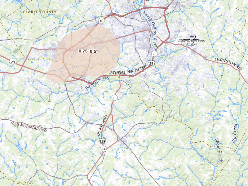
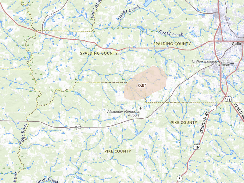
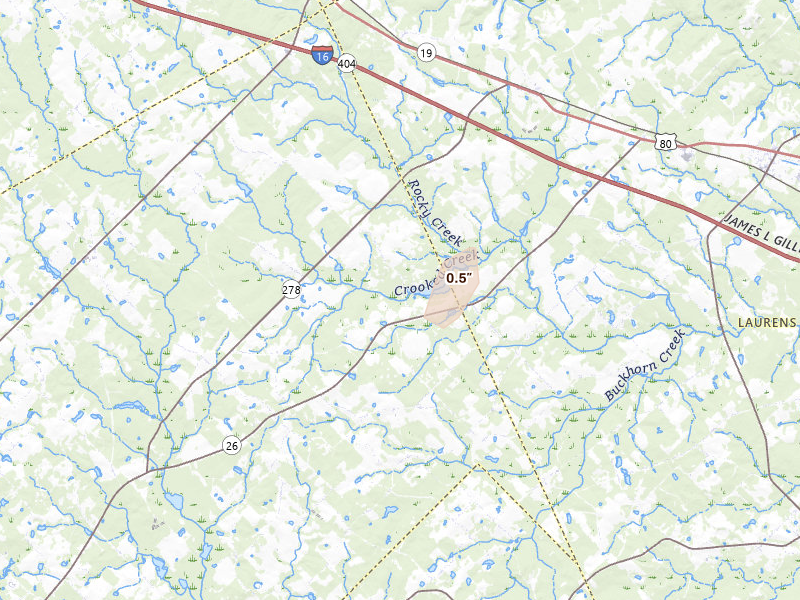
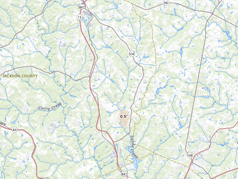
5 cities · up to 0.75" · 4,266 mapped homes

Minnesota

12 cities · up to 0.75" · 8,488 mapped homes

North Carolina

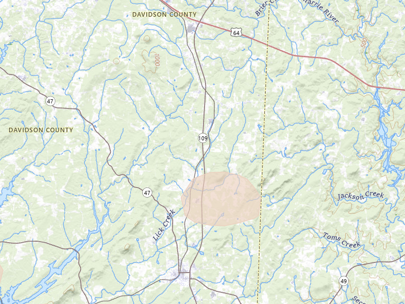
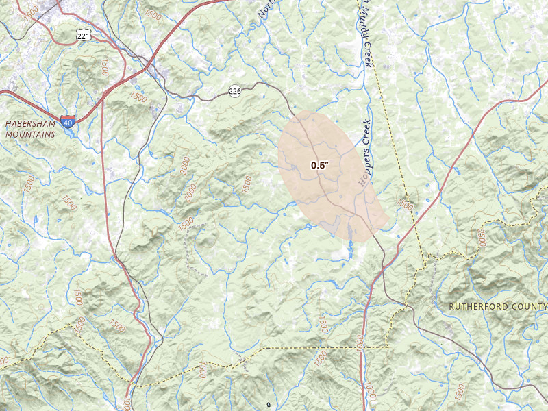
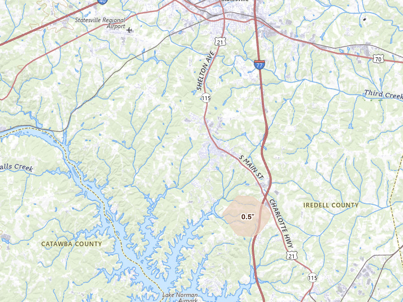
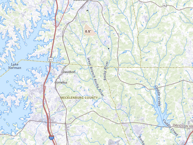
18 cities · up to 0.75" · 19,267 mapped homes
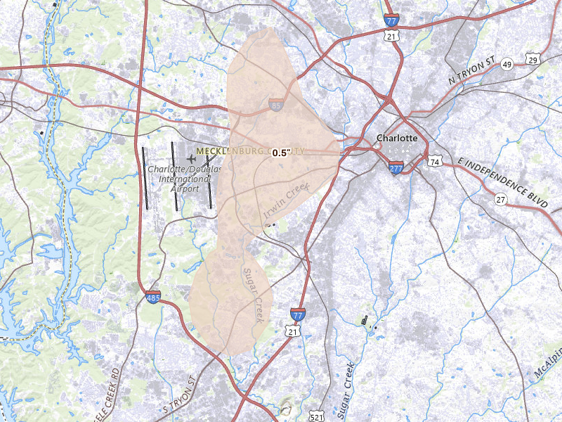
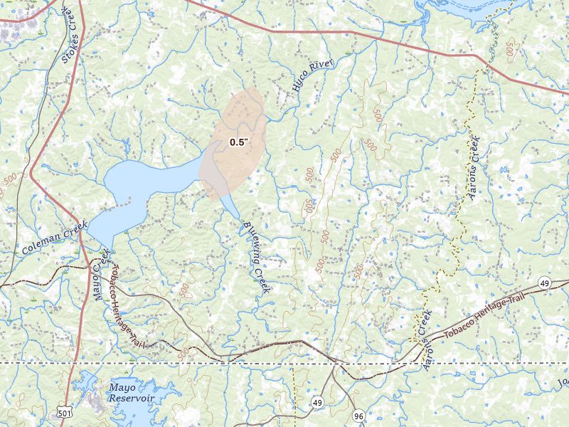
Charlotte, NC 2.8 /10 severity
0.5" peak signal 10,281 mapped homes No ground reports
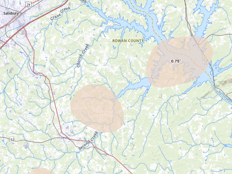
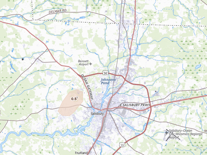
Salisbury, NC 2.7 /10 severity
0.75" peak signal 1,635 mapped homes No ground reports
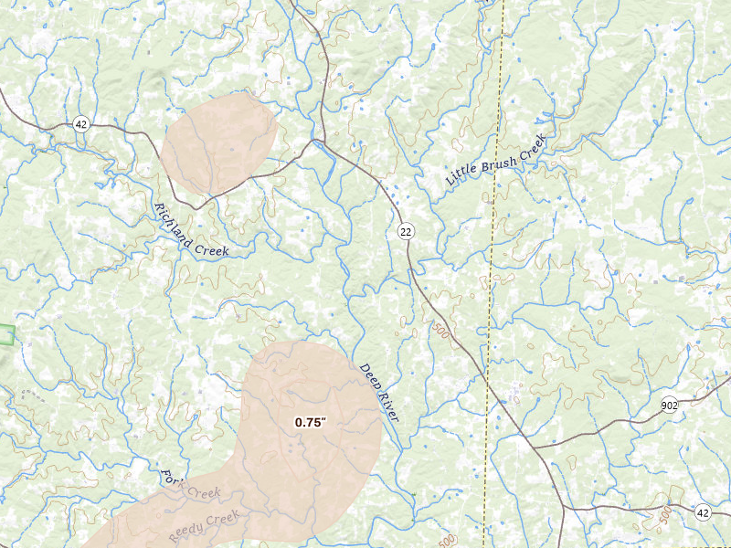
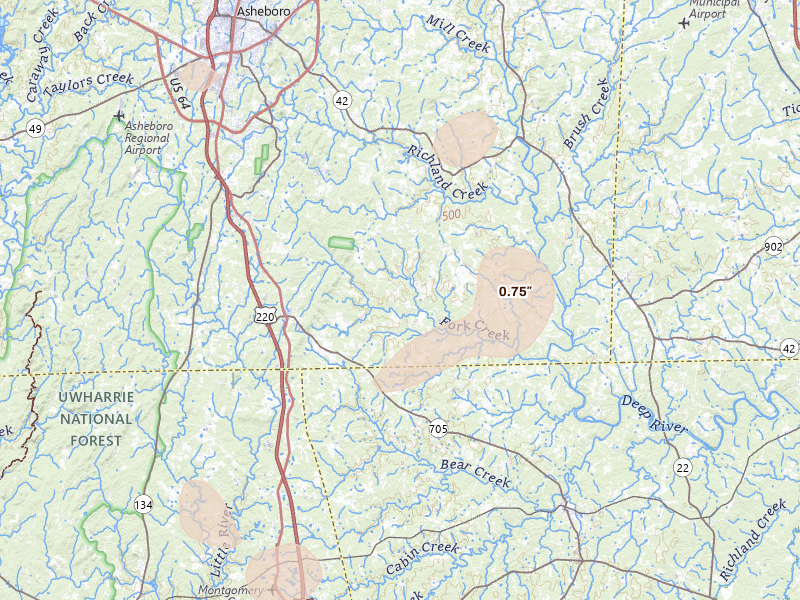
Ramseur, NC 2.5 /10 severity
0.75" peak signal 496 mapped homes No ground reports
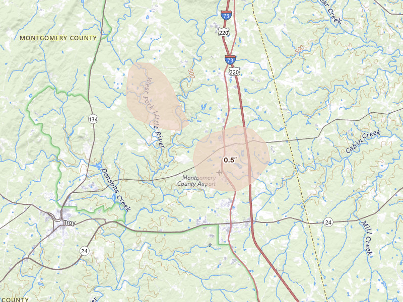
Seagrove, NC 2.5 /10 severity
0.75" peak signal 659 mapped homes No ground reports
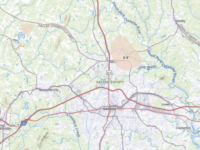
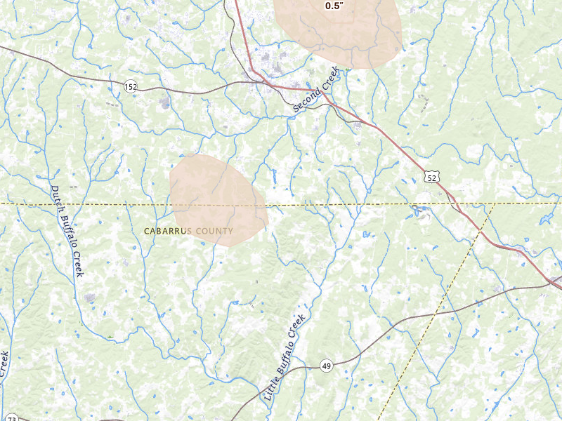
Dallas, NC 2.3 /10 severity
0.5" peak signal 1,530 mapped homes No ground reports
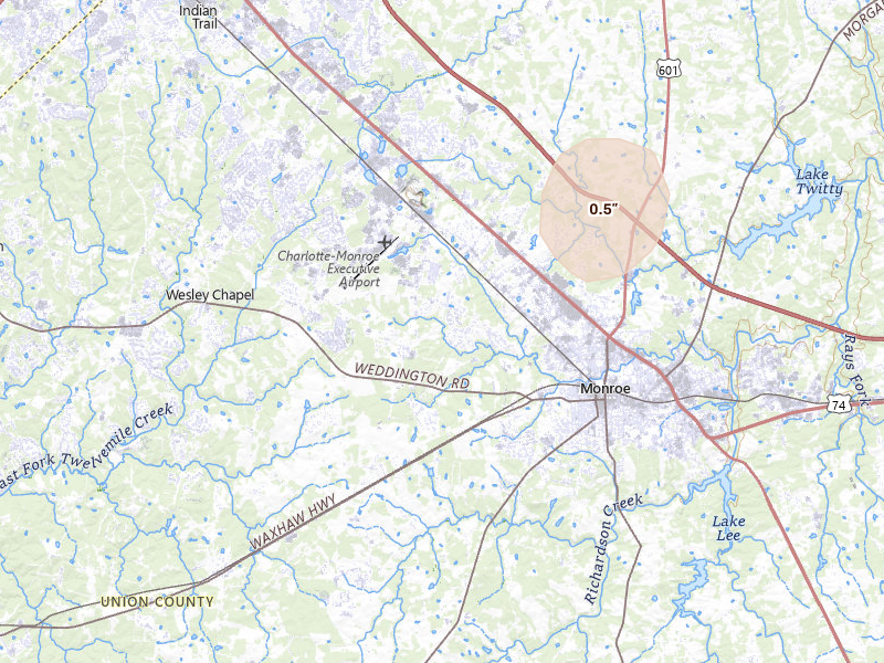
Monroe, NC 2.2 /10 severity
0.5" peak signal 841 mapped homes No ground reports
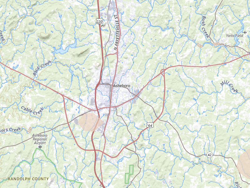
Asheboro, NC 2.1 /10 severity
0.5" peak signal 398 mapped homes No ground reports
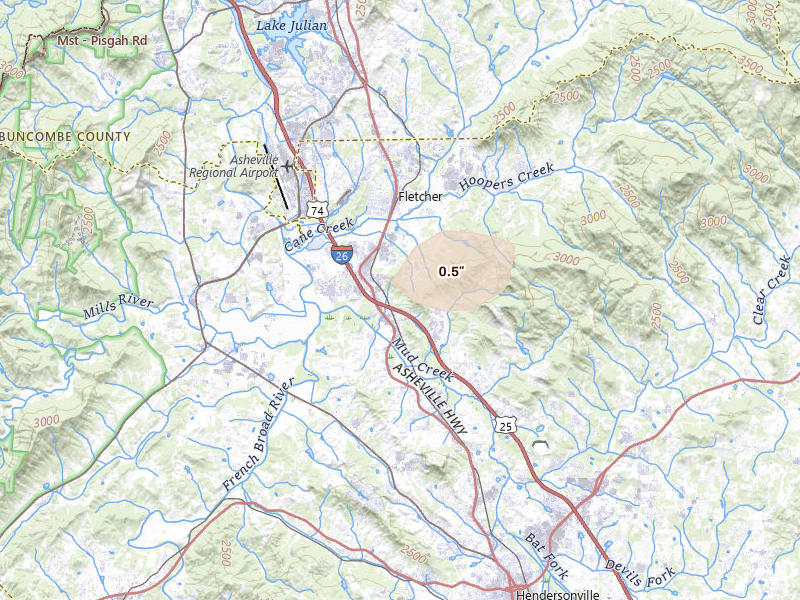
Hendersonville, NC 2.1 /10 severity
0.5" peak signal 437 mapped homes No ground reports
Rockwell, NC 2.1 /10 severity
0.5" peak signal 571 mapped homes No ground reports
Star, NC 2.1 /10 severity
0.5" peak signal 611 mapped homes No ground reports
Lexington, NC 2.0 /10 severity
0.5" peak signal 354 mapped homes No ground reports
Nebo, NC 2.0 /10 severity
0.5" peak signal 391 mapped homes No ground reports
Troutman, NC 2.0 /10 severity
0.5" peak signal 333 mapped homes No ground reports
Davidson, NC 1.9 /10 severity
0.5" peak signal 176 mapped homes No ground reports
Lenoir, NC 1.9 /10 severity
0.5" peak signal 241 mapped homes No ground reports
Crouse, NC 1.8 /10 severity
0.5" peak signal 114 mapped homes No ground reports
Mocksville, NC 1.8 /10 severity
0.5" peak signal 134 mapped homes No ground reports
High Point, NC 1.7 /10 severity
0.5" peak signal 65 mapped homes No ground reports

Iowa

9 cities · up to 0.75" · 4,677 mapped homes

Louisiana

2 cities · up to 0.75" · 505 mapped homes

Alabama

3 cities · up to 0.75" · 613 mapped homes

Maine

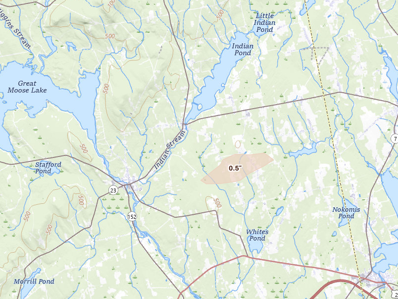
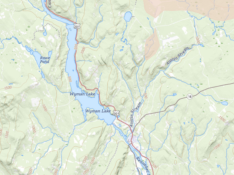
4 cities · up to 0.75" · 527 mapped homes

Florida

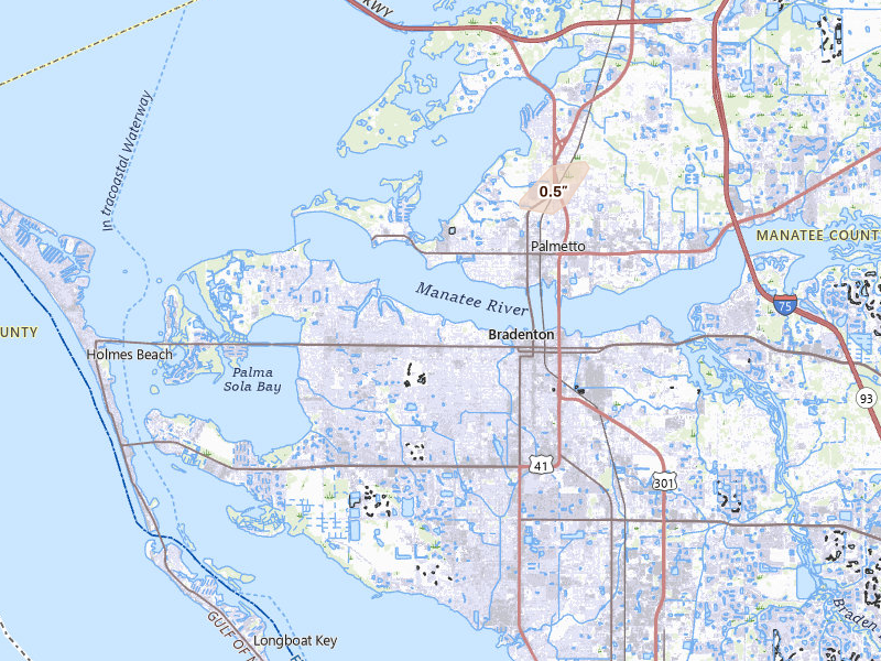
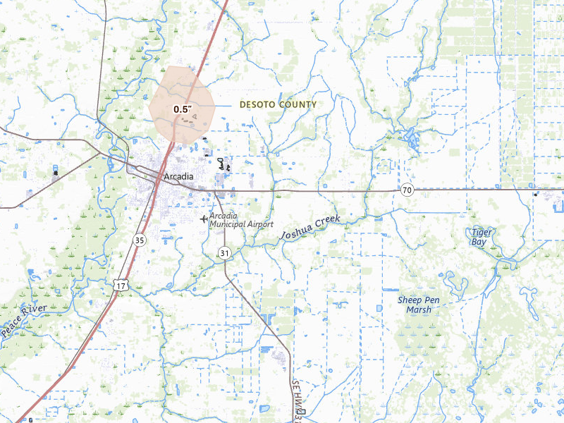
7 cities · up to 0.5" · 1,400 mapped homes

Maryland

1 city · up to 0.5" · 398 mapped homes

Idaho

2 cities · up to 0.5" · 163 mapped homes

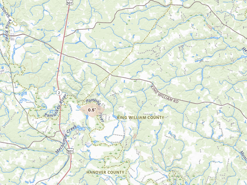
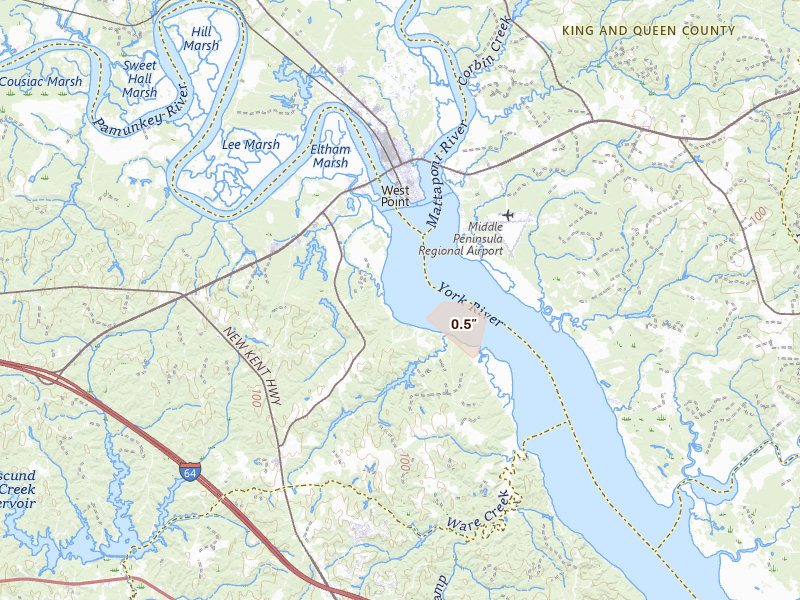
Virginia

4 cities · up to 0.5" · 153 mapped homes

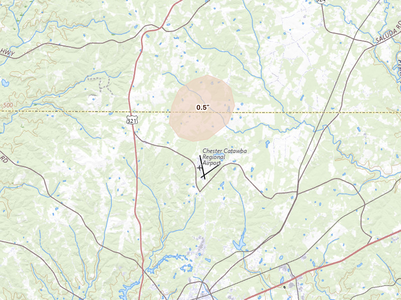
South Carolina

1 city · up to 0.5" · 99 mapped homes

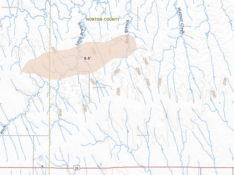
Kansas

1 city · up to 0.5" · 29 mapped homes

New Jersey

1 city · up to 0.5" · 18 mapped homes
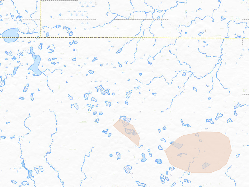
Utah

1 city · up to 0.5" · 4 mapped homes
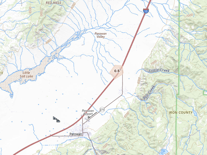
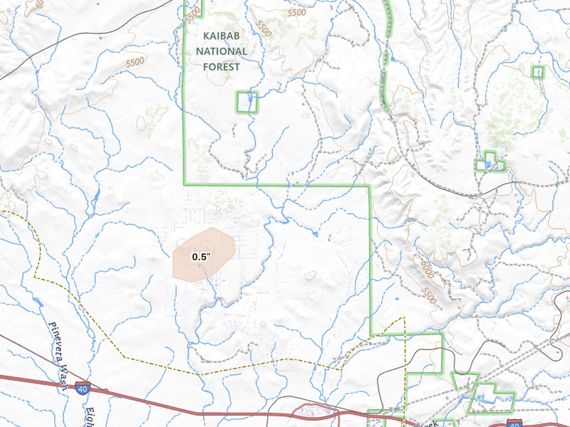
Arizona

1 city · up to 0.5" · 2 mapped homes
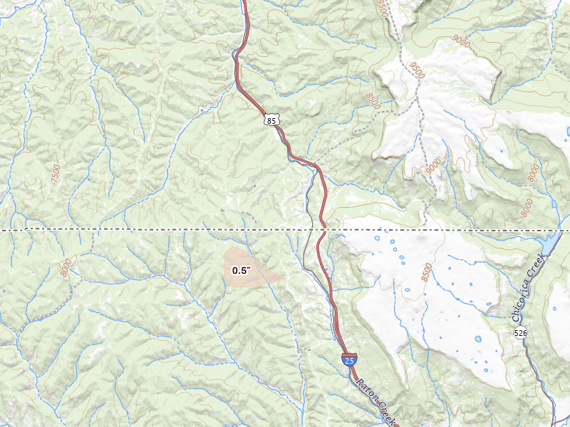
Colorado

1 city · up to 0.5" · 0 mapped homes
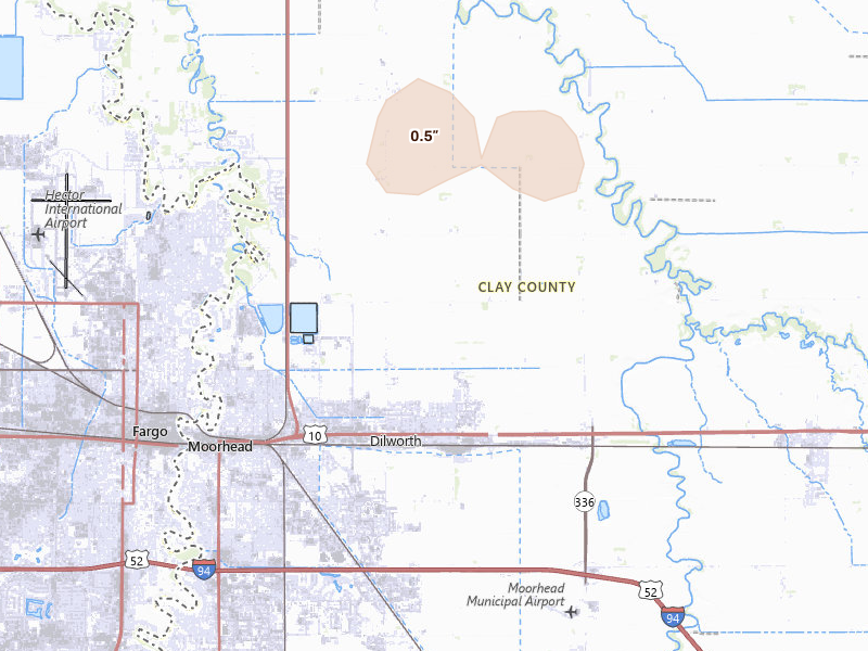
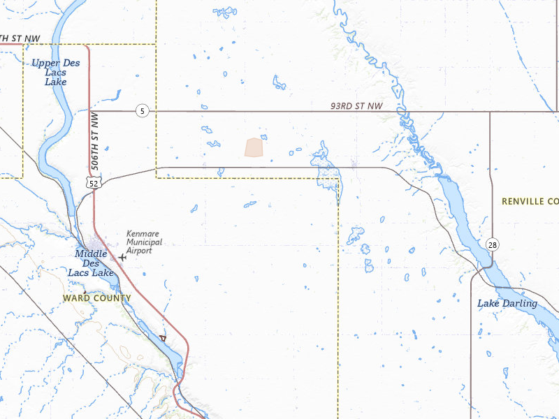
North Dakota

1 city · up to 0.5" · 0 mapped homes
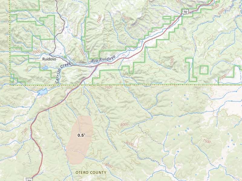
New Mexico

1 city · up to 0.5" · 0 mapped homes
← All storm days

Overview Pro · iPhone + web

One app for your prospecting day.

The hail map, your next recommended area, and the tools to work it. Start on your own; the same subscription also includes access for up to 4 team members.

Overview Pro

One plan · iPhone + web

Monthly · US App Store

$149.99 / month

5,000 new addresses per user each month on Pro. Try the app with 200 addresses during your free trial.

Optional outreach

+ $0.21 per contact returned
Available homeowner names and phone numbers, with freshness and DNC flags.
+ $0.75 per postcard mailed
Print, postage, and delivery tracking included.

What's included

Get recommended places to prospect, or draw your own. The same plan gives you the tools to work either one.

  • Hail maps, storm history, and live radar
  • Curated prospecting recommendations and Quests
  • Canvassing sessions and navigation
  • Door outcomes, notes, and photos
  • Visit history and follow-up Quests
  • Alerts for your saved territories
  • Polygon and hexagon draw tools
  • Saved work areas and address lists
  • CSV exports for your dialer or CRM
  • XP, levels, and the leaderboard
  • Access on iPhone and the web
  • Up to 4 team members

7-day free trial in the iPhone app. No card required to start.

Choose whether to subscribe when your trial ends. Paid subscriptions renew monthly. Manage or cancel in your Apple Account settings.

See all pricing and billing details →
Start free trial

Web trial: 7 days free. Card required. $150/month after the trial unless cancelled.

Take your next area into the field.

See the hail, review your recommendations, and canvass with Overview on iPhone.

Download on the App Store

7-day free trial in the iPhone app. No card required to start.

For iPhone. Android coming soon.

Open Aug 28 on the live map → Start free trial

Web trial: 7 days free. Card required. $150/month after the trial unless cancelled.

Storm days are convective days (noon-to-noon UTC). Cities and counts are the set Overview tracks, not every place hail fell. Ground reports are public-domain observations from the NOAA Storm Prediction Center; radar sizes are detections and estimates, not confirmed damage.