Hail storms on Oct 22, 2026

20 days ago

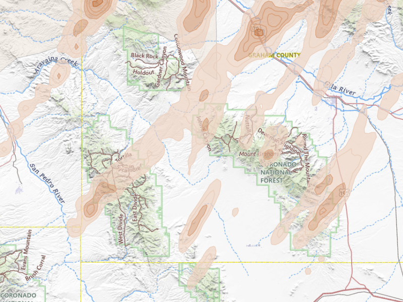
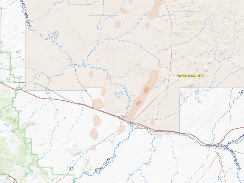
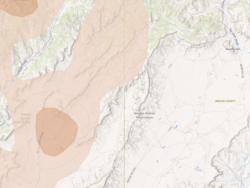
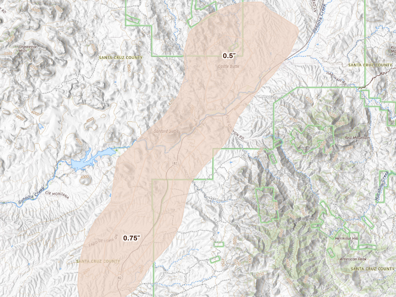
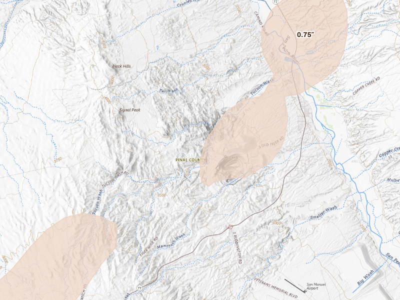
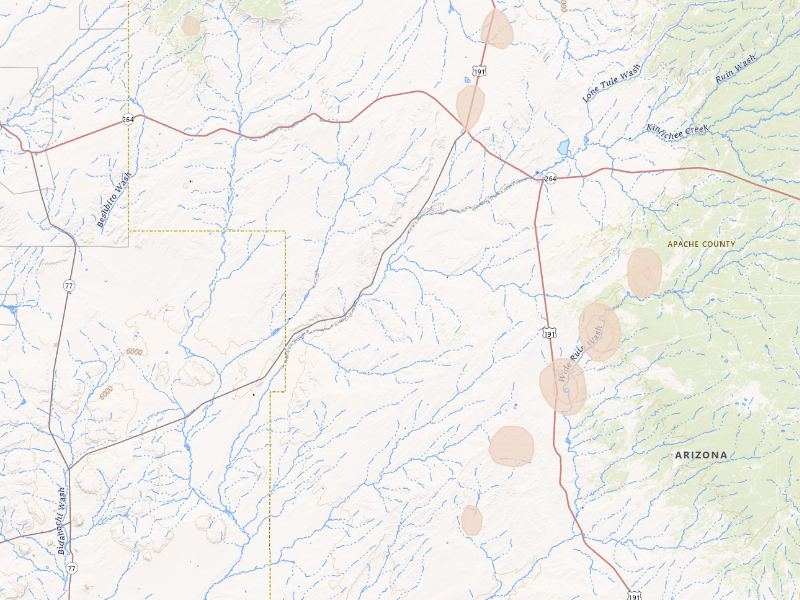
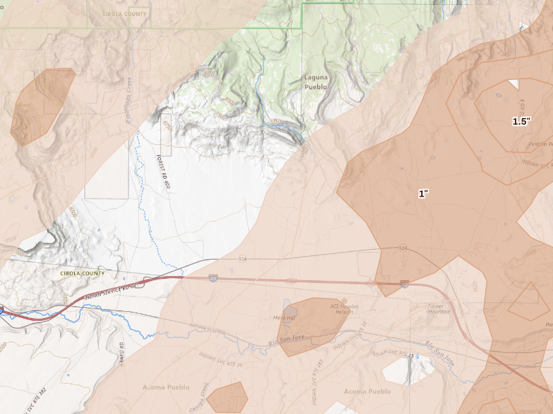
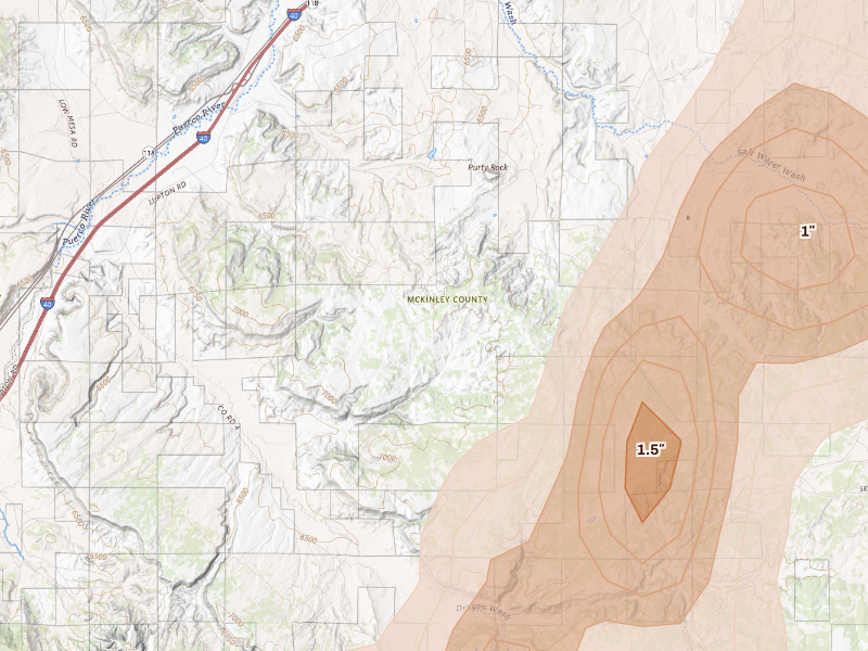
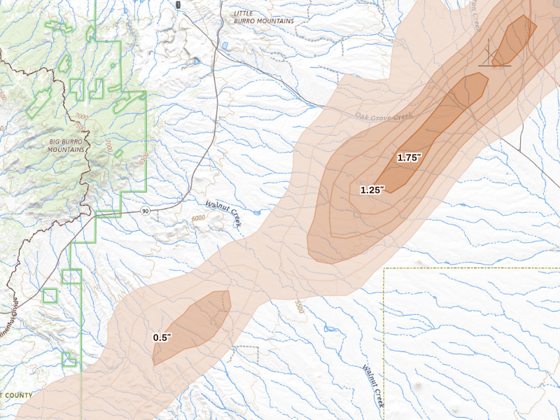
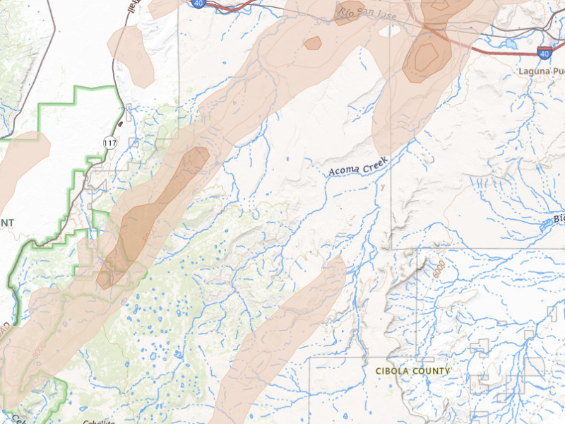
77 cities across 5 states recorded hail on Oct 22, 2026 — a multi-state outbreak. The peak radar-indicated size reached 2.5" over Bylas — about the size of a baseball. That is a severe hail signal, not property-level damage confirmation.

7-day free trial in the iPhone app. No card required to start.

For iPhone. Android coming soon.

Web trial: 7 days free. Card required. $150/month after the trial unless cancelled.

Cities hit 77 across 5 states
Peak hail signal 2.5" ≈ baseball · Bylas
Homes in footprints 60,927
Ground reports 27

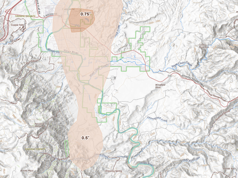
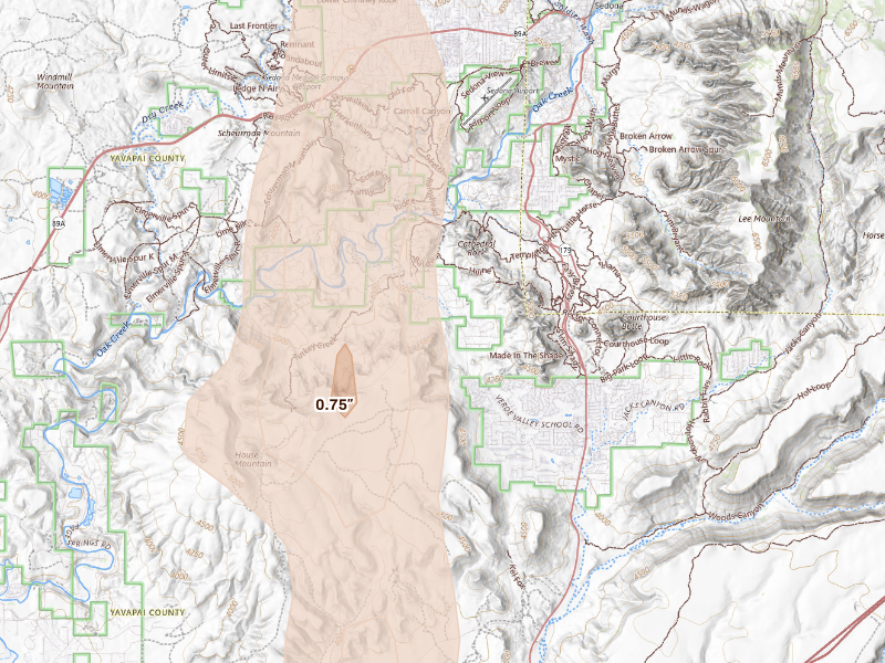
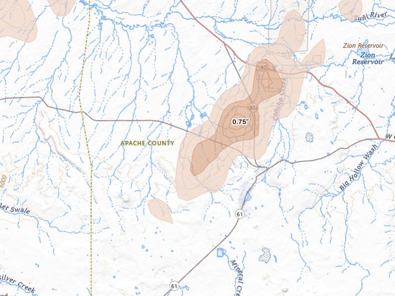
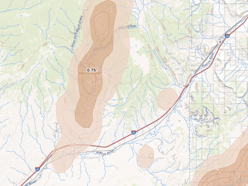
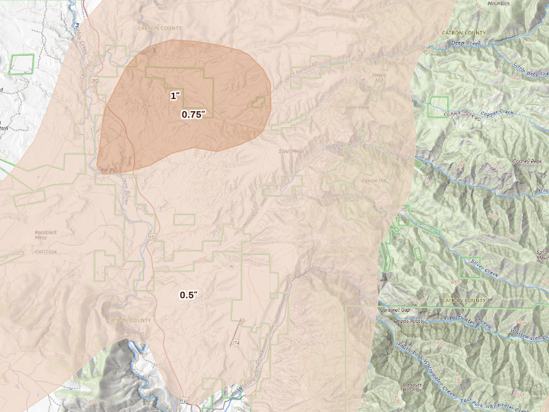
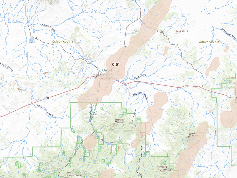
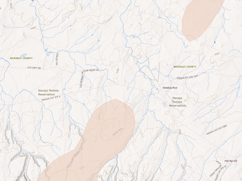
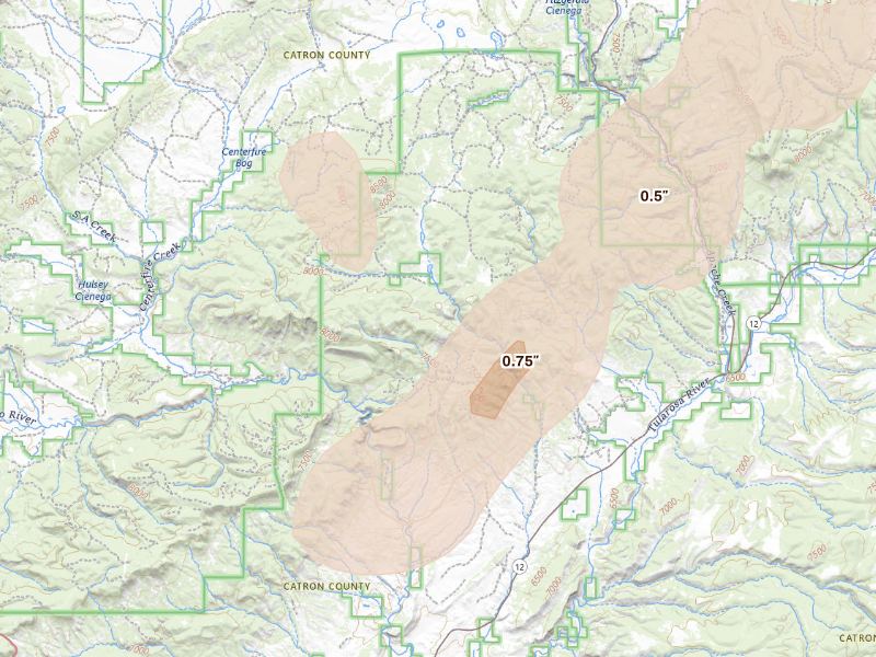
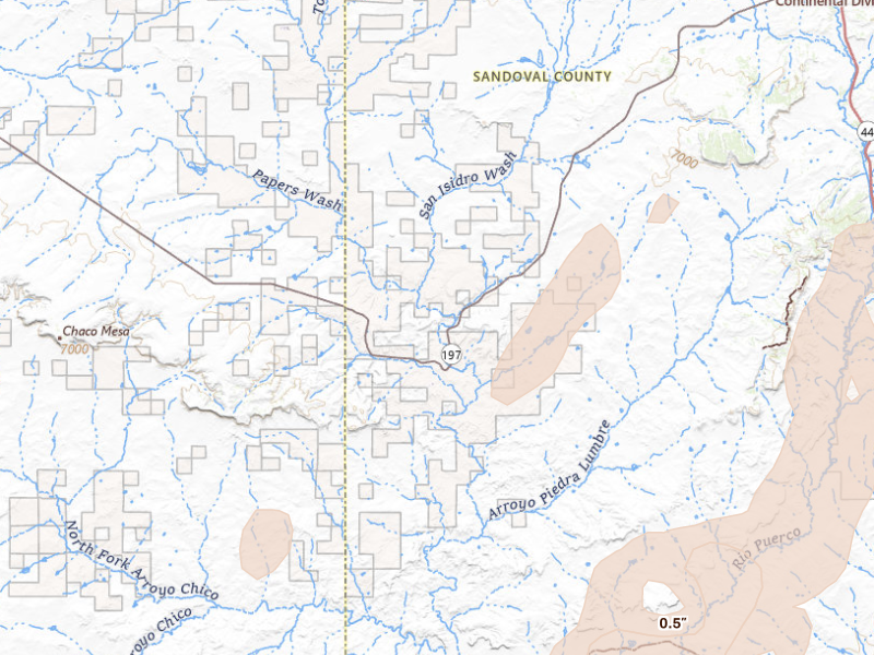
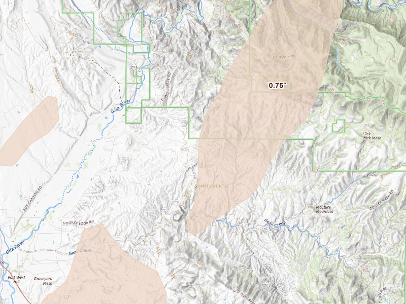
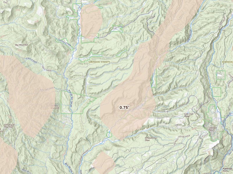
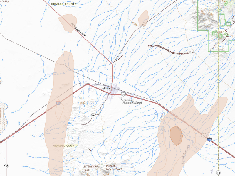
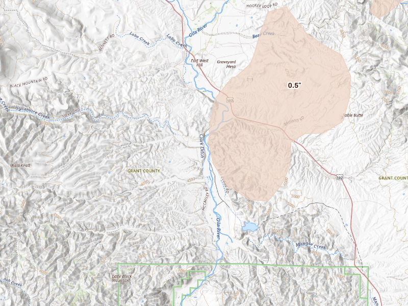
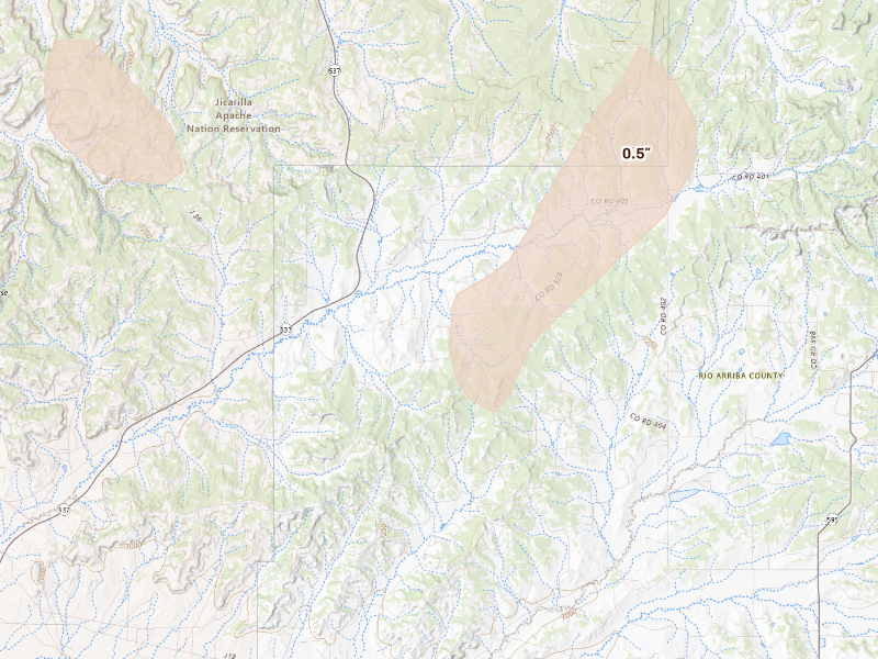
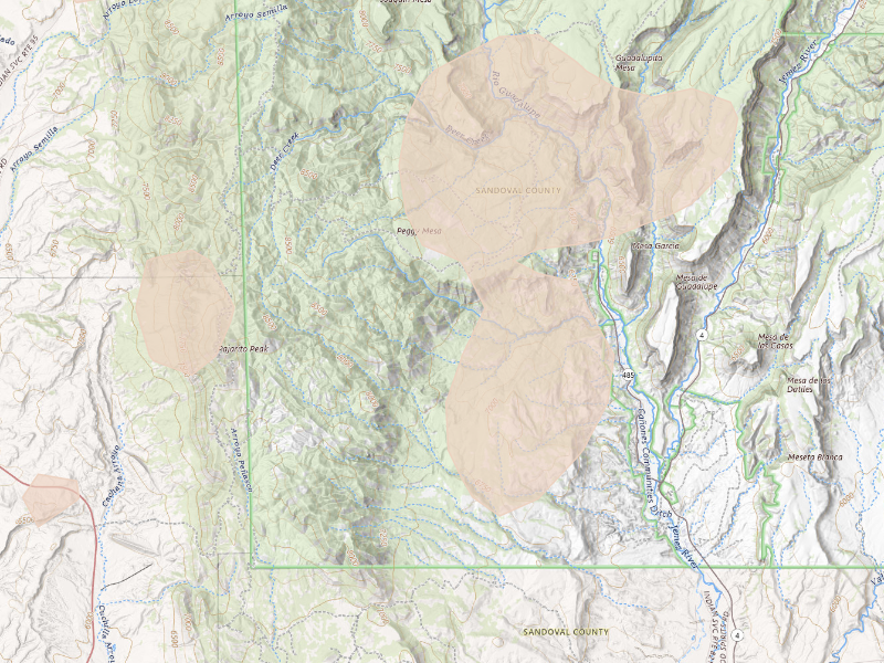
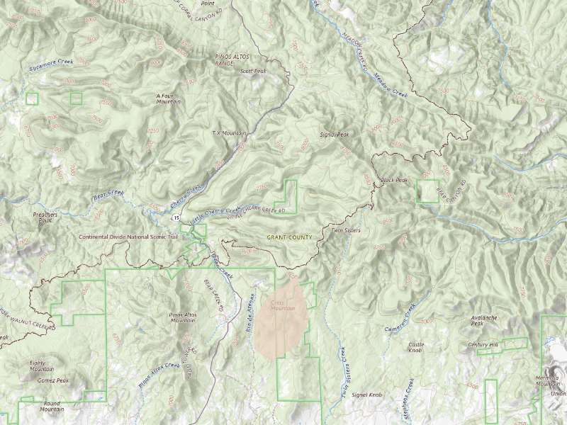
Oct 22, 2026 · Bylas, AZ: 2.5" peak radar signal · Radar-estimated size map

Mapped cities, by state

Every tracked city with a hail signal on Oct 22, 2026

77 cities · up to 2.5" · 60,927 mapped homes · noon-to-noon UTC

Every tracked city that recorded hail on this convective day, biggest signal first. Each row opens that city's full storm record.

How to read this day

A storm day on Overview is a convective day — it runs from noon to noon UTC, so late-night hail is grouped with the afternoon storm that spawned it rather than split across two calendar dates. Everything below happened inside the Oct 22, 2026 convective day. Across those footprints sit roughly 60,927 homes, and 27 ground reports were filed with the National Weather Service.

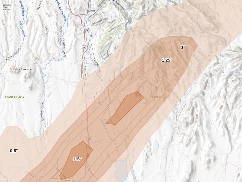
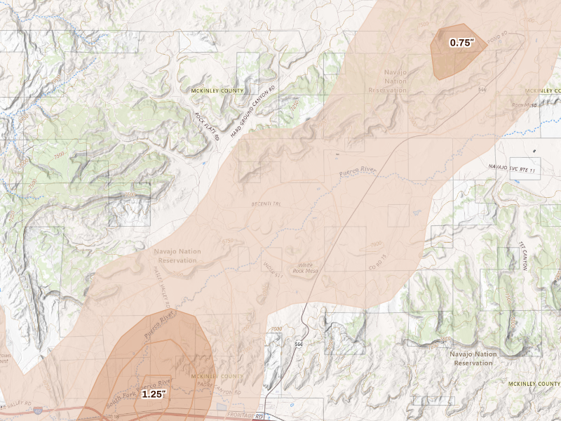
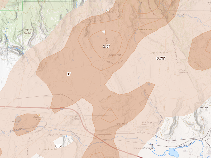
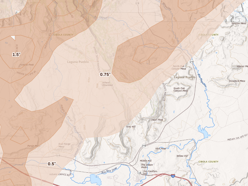
The cities are listed with the biggest storm first, measured by Overview's severity score. Each row links through to that city's own storm page, where you'll find the radar surfaces, every ground report filed, and the hail footprint drawn on the map.

The counts here are the size of the set of cities Overview tracks — never "every US city" — so read a quiet day as "quiet among the places we watch," not as proof nothing happened elsewhere.

Arizona

42 cities · up to 2.5" · 46,454 mapped homes
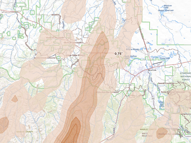
Show Low, AZ 5.7 /10 severity
2" peak signal 7,096 mapped homes 3 ground reports
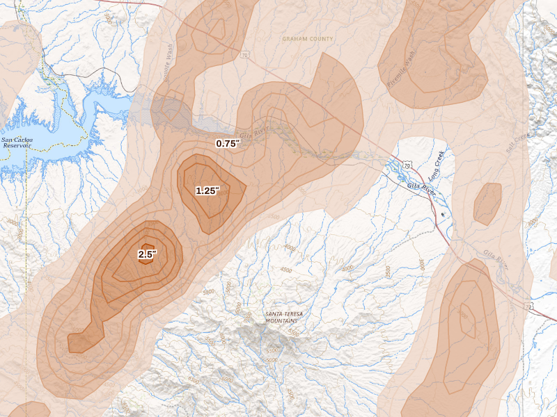
Bylas, AZ 5.0 /10 severity
2.5" peak signal 347 mapped homes No ground reports
Clifton, AZ 4.7 /10 severity
2" peak signal 2,597 mapped homes No ground reports
Willcox, AZ 4.7 /10 severity
1.75" peak signal 3,632 mapped homes 1 ground report
Pima, AZ 4.4 /10 severity
1.75" peak signal 3,655 mapped homes No ground reports
Whiteriver, AZ 4.3 /10 severity
1.75" peak signal 2,649 mapped homes No ground reports
Mcnary, AZ 4.1 /10 severity
2" peak signal 12 mapped homes 2 ground reports
Rimrock, AZ 4.1 /10 severity
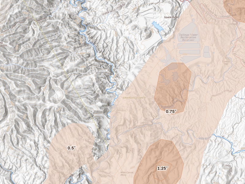
1.25" peak signal 2,312 mapped homes 2 ground reports
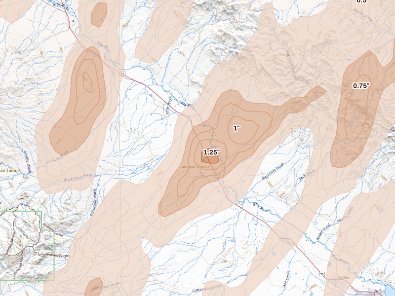
Safford, AZ 4.0 /10 severity
1.25" peak signal 2,124 mapped homes 2 ground reports
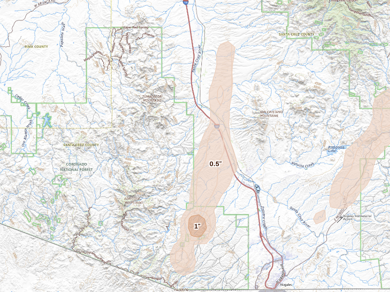
Rio Rico, AZ 3.9 /10 severity
1" peak signal 2,260 mapped homes 3 ground reports
Fort Thomas, AZ 3.8 /10 severity
1.75" peak signal 242 mapped homes No ground reports
Camp Verde, AZ 3.7 /10 severity
1" peak signal 2,203 mapped homes 2 ground reports
Nogales, AZ 3.4 /10 severity
1" peak signal 643 mapped homes 2 ground reports
Sedona, AZ 3.4 /10 severity
1" peak signal 1,818 mapped homes 1 ground report
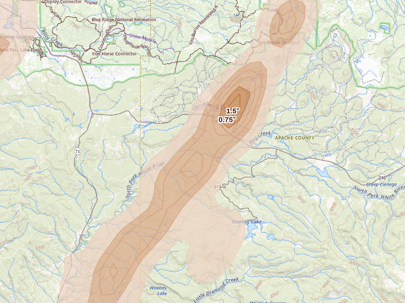
Lakeside, AZ 3.3 /10 severity
1" peak signal 3,553 mapped homes No ground reports
Concho, AZ 3.2 /10 severity
1.5" peak signal 76 mapped homes No ground reports
Houck, AZ 3.1 /10 severity
1.25" peak signal 290 mapped homes No ground reports
Morenci, AZ 3.1 /10 severity
1.25" peak signal 235 mapped homes No ground reports
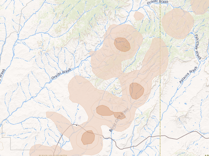
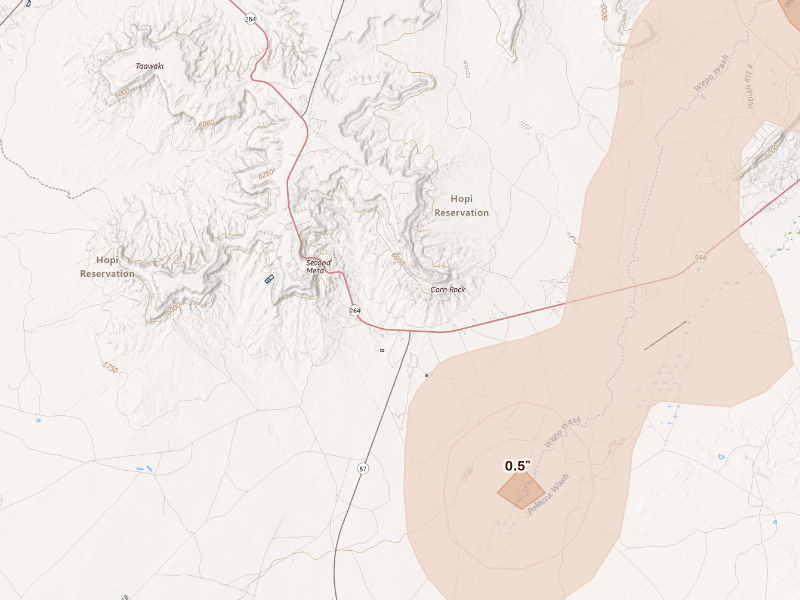
Polacca, AZ 3.1 /10 severity
1.25" peak signal 299 mapped homes No ground reports
Snowflake, AZ 3.1 /10 severity
1" peak signal 1,616 mapped homes No ground reports
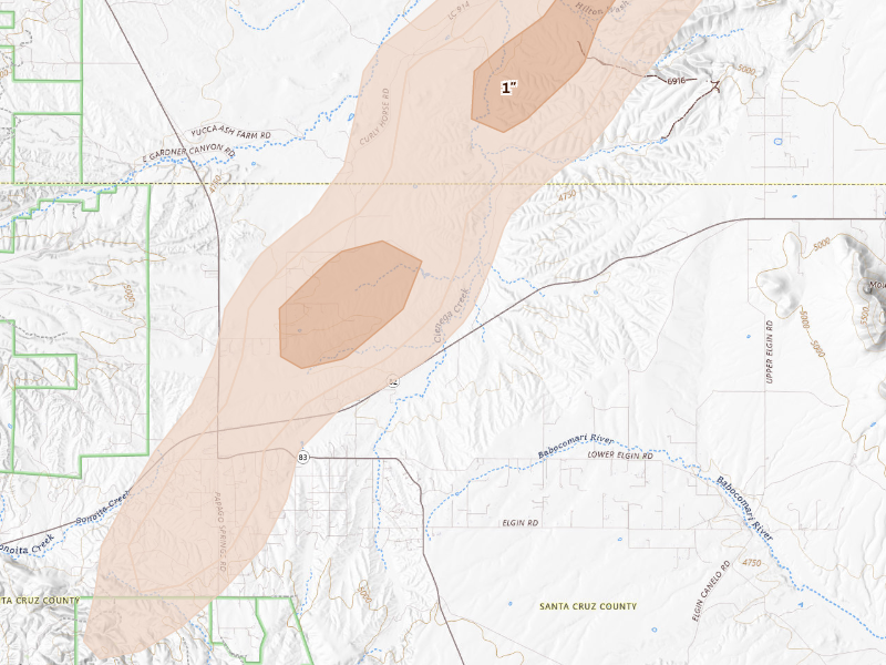
Sonoita, AZ 3.0 /10 severity
1" peak signal 379 mapped homes 1 ground report
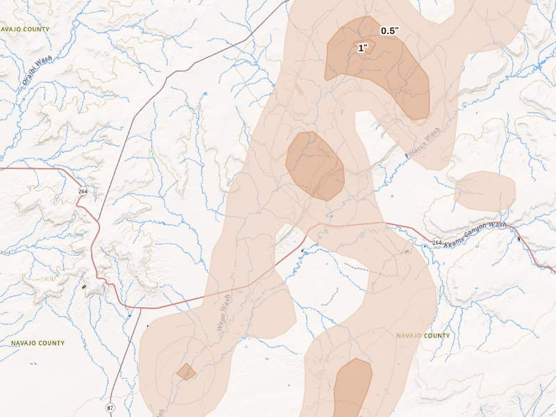
Keams Canyon, AZ 2.9 /10 severity
1.25" peak signal 136 mapped homes No ground reports
Pinon, AZ 2.9 /10 severity
1" peak signal 738 mapped homes No ground reports
Scottsdale, AZ 2.8 /10 severity
0.75" peak signal 2,655 mapped homes No ground reports
Taylor, AZ 2.7 /10 severity
0.75" peak signal 1,326 mapped homes No ground reports
Winslow, AZ 2.7 /10 severity
1" peak signal 300 mapped homes No ground reports
Blue Gap, AZ 2.5 /10 severity
1" peak signal 79 mapped homes No ground reports
Clay Springs, AZ 2.5 /10 severity
0.75" peak signal 466 mapped homes No ground reports
Patagonia, AZ 2.5 /10 severity
0.75" peak signal 509 mapped homes No ground reports
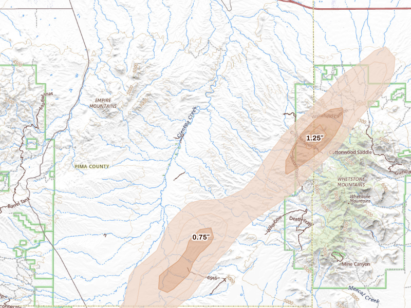
Benson, AZ 2.4 /10 severity
1.25" peak signal 10 mapped homes No ground reports
Mammoth, AZ 2.4 /10 severity
0.75" peak signal 396 mapped homes No ground reports
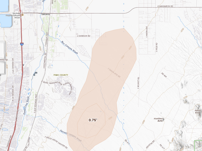
Sahuarita, AZ 2.4 /10 severity
0.75" peak signal 111 mapped homes 1 ground report
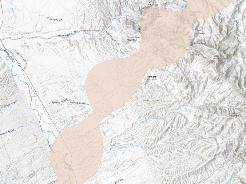
Winkelman, AZ 2.4 /10 severity
0.75" peak signal 349 mapped homes No ground reports
Elgin, AZ 2.3 /10 severity
1.25" peak signal 5 mapped homes No ground reports
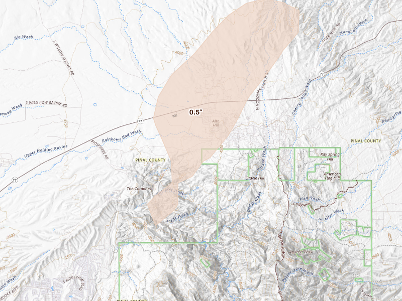
Oracle, AZ 2.3 /10 severity
0.5" peak signal 1,093 mapped homes No ground reports
Ganado, AZ 2.2 /10 severity
0.75" peak signal 161 mapped homes No ground reports
Second Mesa, AZ 2.2 /10 severity
1" peak signal 22 mapped homes No ground reports
Chinle, AZ 1.9 /10 severity
0.75" peak signal 35 mapped homes No ground reports
Vernon, AZ 1.9 /10 severity
1.25" peak signal 0 mapped homes No ground reports
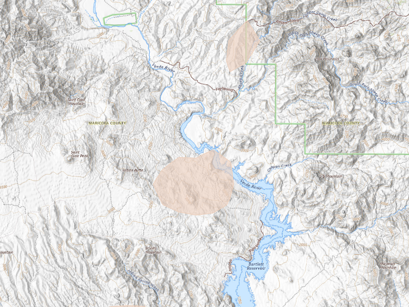
Rio Verde, AZ 1.4 /10 severity
0.5" peak signal 23 mapped homes No ground reports
Payson, AZ 1.0 /10 severity
0.5" peak signal 2 mapped homes No ground reports
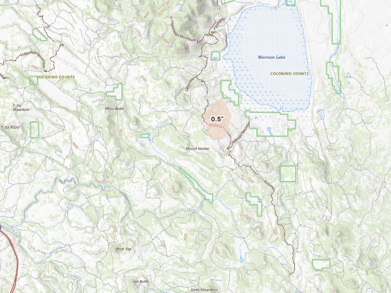
Mormon Lake, AZ 0.8 /10 severity
0.5" peak signal 0 mapped homes No ground reports

New Mexico

29 cities · up to 2" · 12,499 mapped homes
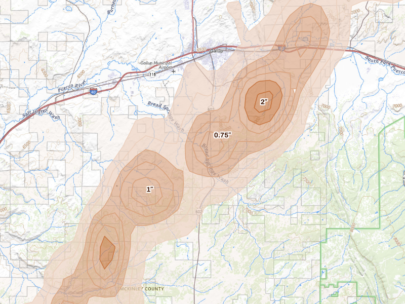
Gallup, NM 5.3 /10 severity
2" peak signal 4,972 mapped homes 2 ground reports
Bayard, NM 4.6 /10 severity
1.75" peak signal 1,054 mapped homes 2 ground reports
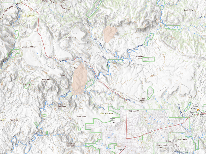
Vanderwagen, NM 3.9 /10 severity
1.75" peak signal 358 mapped homes No ground reports
Church Rock, NM 3.8 /10 severity
1.5" peak signal 434 mapped homes 1 ground report
Cubero, NM 3.7 /10 severity
1.5" peak signal 909 mapped homes No ground reports
New Laguna, NM 3.6 /10 severity
1.5" peak signal 419 mapped homes No ground reports
San Fidel, NM 3.6 /10 severity
1.25" peak signal 1,027 mapped homes 1 ground report
Mentmore, NM 3.4 /10 severity
1.75" peak signal 34 mapped homes No ground reports
Silver City, NM 3.4 /10 severity
1.75" peak signal 35 mapped homes No ground reports
Casa Blanca, NM 3.3 /10 severity
1.25" peak signal 645 mapped homes No ground reports
Hanover, NM 3.2 /10 severity
1.25" peak signal 475 mapped homes No ground reports
Pueblo Of Acoma, NM 3.0 /10 severity
1" peak signal 825 mapped homes No ground reports
Glenwood, NM 2.7 /10 severity
1" peak signal 228 mapped homes No ground reports
Quemado, NM 2.6 /10 severity
0.75" peak signal 338 mapped homes 1 ground report
Crownpoint, NM 2.5 /10 severity
1" peak signal 118 mapped homes No ground reports
Grants, NM 2.5 /10 severity
1" peak signal 114 mapped homes No ground reports
Reserve, NM 2.5 /10 severity
1" peak signal 90 mapped homes No ground reports
Cuba, NM 2.2 /10 severity
0.75" peak signal 149 mapped homes No ground reports
Gila, NM 2.0 /10 severity
0.75" peak signal 44 mapped homes No ground reports
Jemez Springs, NM 2.0 /10 severity
0.75" peak signal 66 mapped homes No ground reports
Lordsburg, NM 1.9 /10 severity
1" peak signal 5 mapped homes No ground reports
Buckhorn, NM 1.6 /10 severity
0.5" peak signal 43 mapped homes No ground reports
Cliff, NM 1.6 /10 severity
0.5" peak signal 56 mapped homes No ground reports
Los Ojos, NM 1.5 /10 severity
0.5" peak signal 27 mapped homes No ground reports
Lindrith, NM 1.3 /10 severity
0.5" peak signal 13 mapped homes No ground reports
Jemez Pueblo, NM 1.2 /10 severity
0.5" peak signal 7 mapped homes No ground reports
Pie Town, NM 1.2 /10 severity
0.5" peak signal 8 mapped homes No ground reports
Pinos Altos, NM 1.2 /10 severity
0.5" peak signal 6 mapped homes No ground reports
Columbus, NM 0.8 /10 severity
0.5" peak signal 0 mapped homes No ground reports

Utah

4 cities · up to 1" · 81 mapped homes
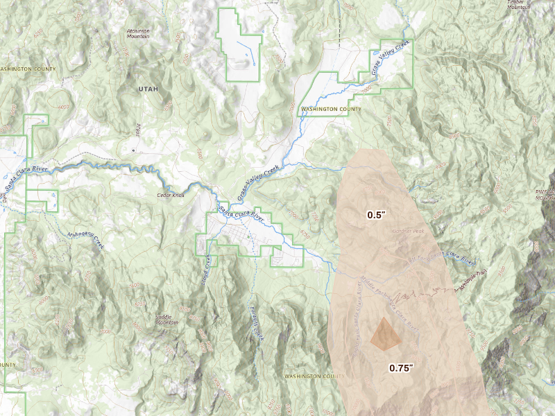
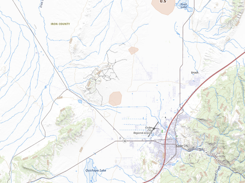
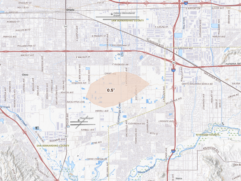
California

1 city · up to 0.5" · 1,893 mapped homes
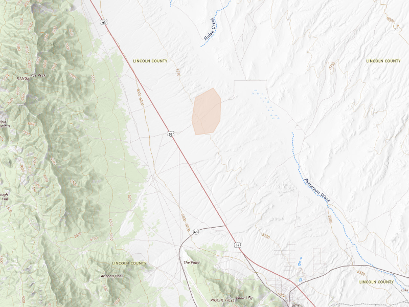
Nevada

1 city · up to 0.5" · 0 mapped homes
← All storm days

Overview Pro · iPhone + web

One app for your prospecting day.

The hail map, your next recommended area, and the tools to work it. Start on your own; the same subscription also includes access for up to 4 team members.

Overview Pro

One plan · iPhone + web

Monthly · US App Store

$149.99 / month

5,000 new addresses per user each month on Pro. Put your 200 trial addresses to work before another week goes to guesswork.

Optional outreach

+ $0.21 per contact returned
Available homeowner names and phone numbers, with freshness and DNC flags.
+ $0.75 per postcard mailed
Print, postage, and delivery tracking included.

What's included

Get recommended places to prospect, or draw your own. The same plan gives you the tools to work either one.

  • Hail maps, storm history, and live radar
  • Curated prospecting recommendations and Quests
  • Canvassing sessions and navigation
  • Door outcomes, notes, and photos
  • Visit history and follow-up Quests
  • Alerts for your saved territories
  • Polygon and hexagon draw tools
  • Saved work areas and address lists
  • CSV exports for your dialer or CRM
  • XP, levels, and the leaderboard
  • Access on iPhone and the web
  • Up to 4 team members

7-day free trial in the iPhone app. No card required to start.

Choose whether to subscribe when your trial ends. Paid subscriptions renew monthly. Manage or cancel in your Apple Account settings.

See all pricing and billing details →
Start free trial

Web trial: 7 days free. Card required. $150/month after the trial unless cancelled.

The next storm won’t wait for you.

Set your territory and alerts today. When hail hits, use Overview to choose your streets and get moving.

7-day free trial in the iPhone app. No card required to start.

For iPhone. Android coming soon.

Open Oct 22 on the live map → Start free trial

Web trial: 7 days free. Card required. $150/month after the trial unless cancelled.

Storm days are convective days (noon-to-noon UTC). Cities and counts are the set Overview tracks, not every place hail fell. Ground reports are public-domain observations from the NOAA Storm Prediction Center; radar sizes are detections and estimates, not confirmed damage.