Hail storms on Oct 23, 2026
19 days ago35 cities across 6 states recorded hail on Oct 23, 2026 — a multi-state outbreak. The peak radar-indicated size reached 2.25" over El Paso — about the size of a tennis ball. That is a severe hail signal, not property-level damage confirmation.

7-day free trial in the iPhone app. No card required to start.
For iPhone. Android coming soon.
Web trial: 7 days free. Card required. $150/month after the trial unless cancelled.
Oct 23, 2026 · El Paso, TX: 2.25" peak radar signal · Radar-estimated size map
Mapped cities, by state
Every tracked city with a hail signal on Oct 23, 2026
Every tracked city that recorded hail on this convective day, biggest signal first. Each row opens that city's full storm record.
How to read this day
A storm day on Overview is a convective day — it runs from noon to noon UTC, so late-night hail is grouped with the afternoon storm that spawned it rather than split across two calendar dates. Everything below happened inside the Oct 23, 2026 convective day. Across those footprints sit roughly 105,636 homes, and 5 ground reports were filed with the National Weather Service.
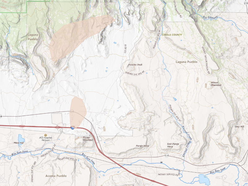
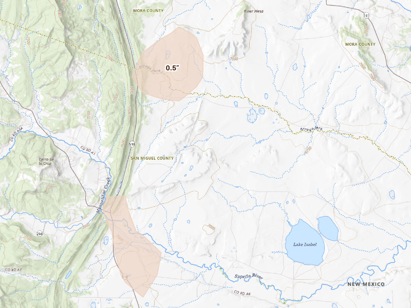
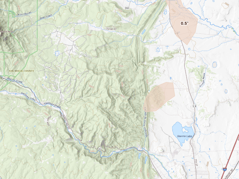
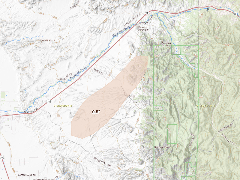
The cities are listed with the biggest storm first, measured by Overview's severity score. Each row links through to that city's own storm page, where you'll find the radar surfaces, every ground report filed, and the hail footprint drawn on the map.
The counts here are the size of the set of cities Overview tracks — never "every US city" — so read a quiet day as "quiet among the places we watch," not as proof nothing happened elsewhere.
Texas
2 cities · up to 2.25" · 84,228 mapped homes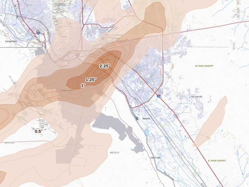
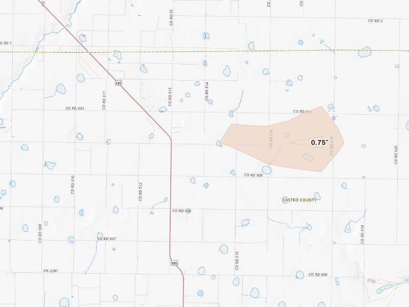
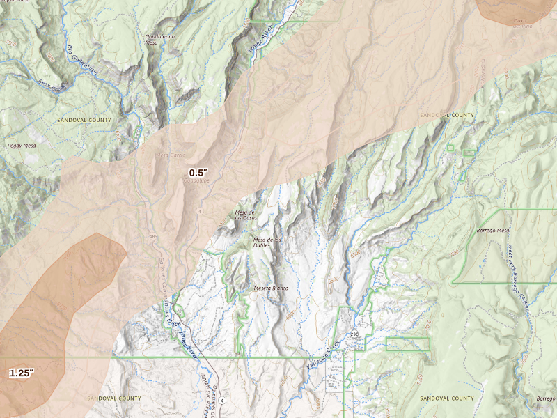
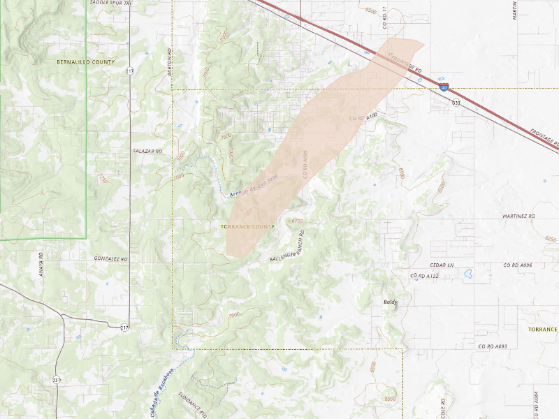
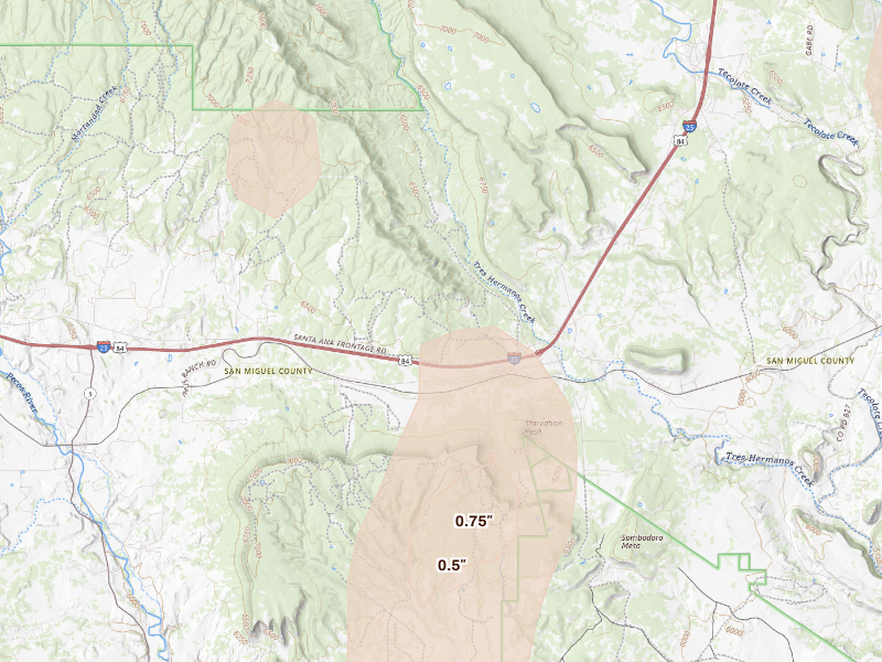
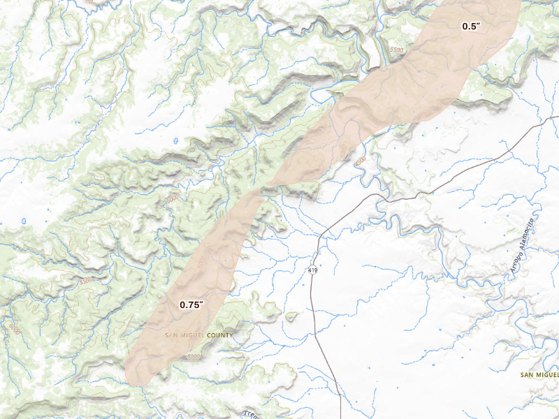
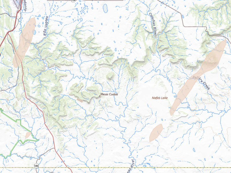
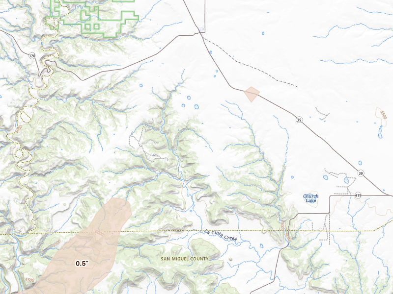
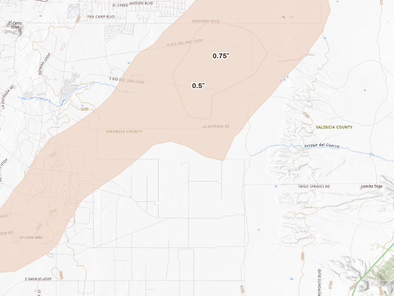
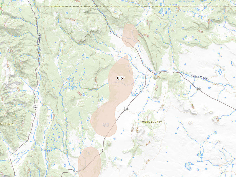
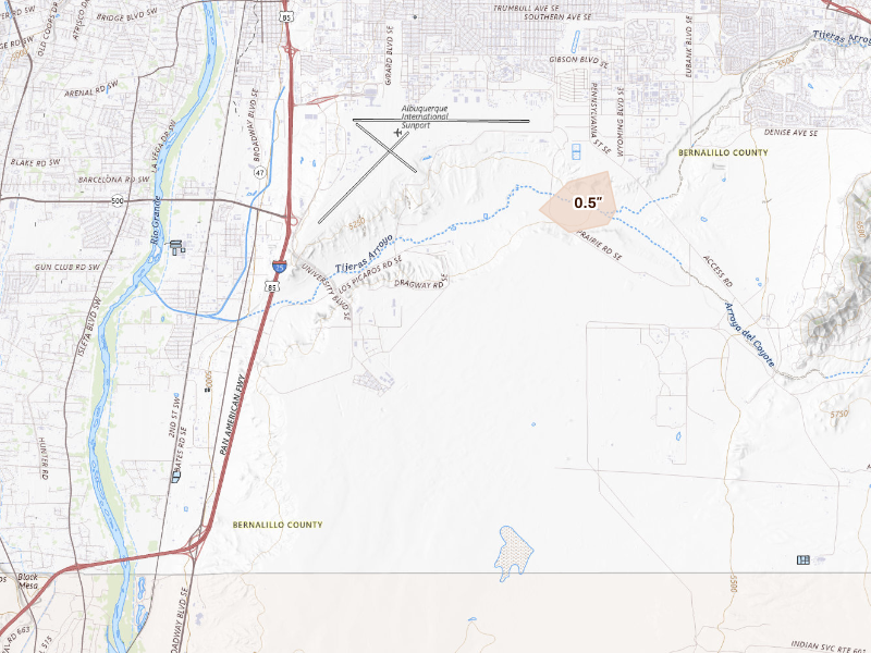
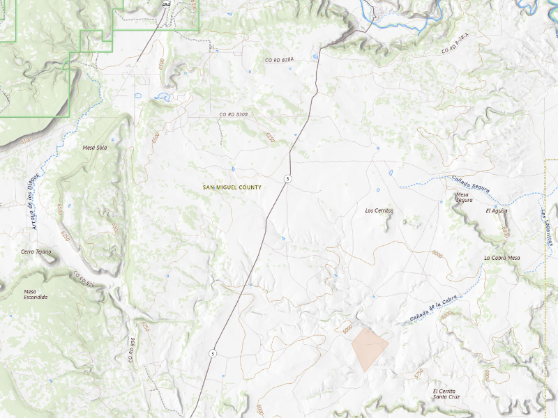
New Mexico
26 cities · up to 2" · 17,543 mapped homes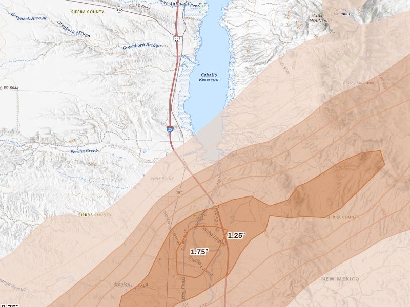
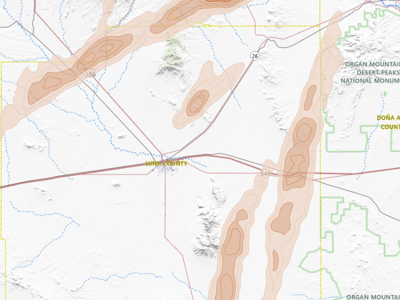
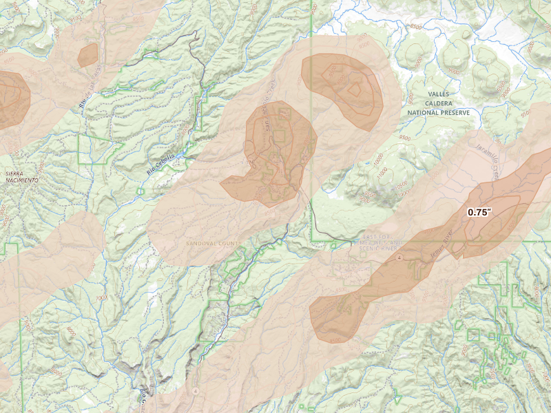
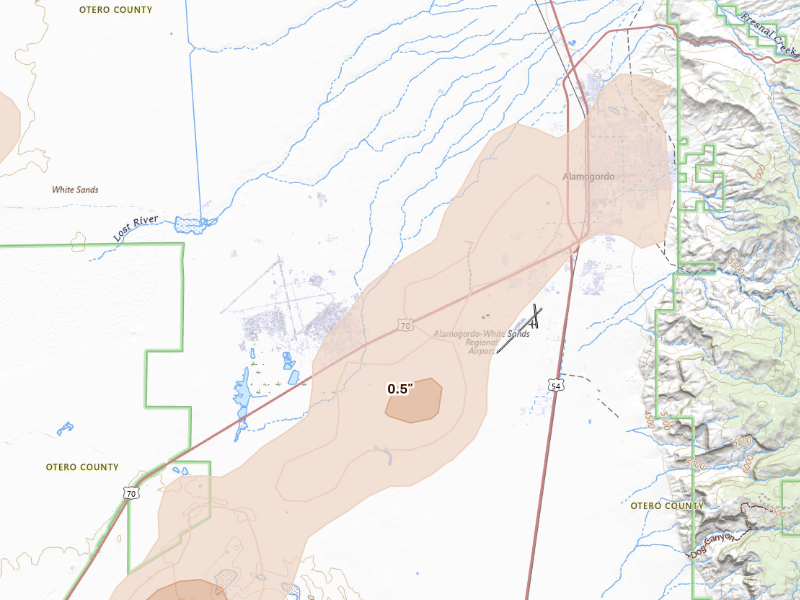
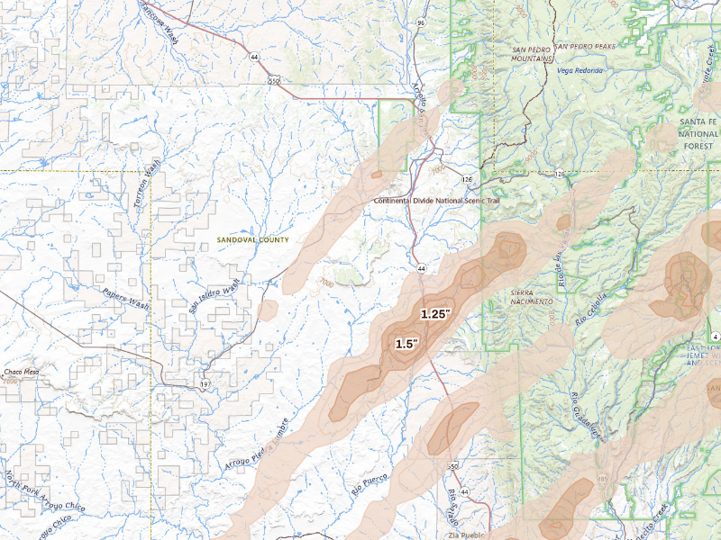
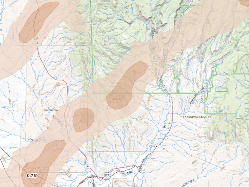
Maine
2 cities · up to 0.75" · 128 mapped homes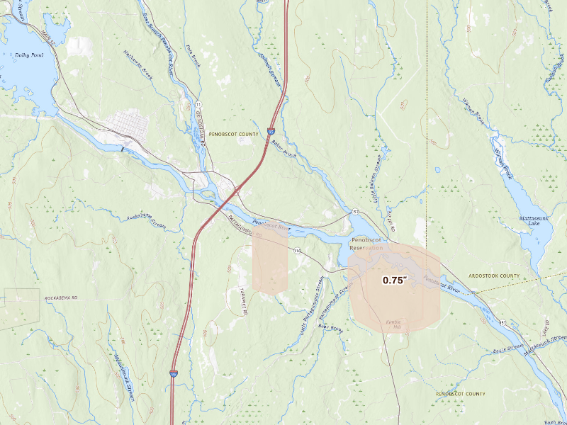
New York
1 city · up to 0.5" · 3,701 mapped homes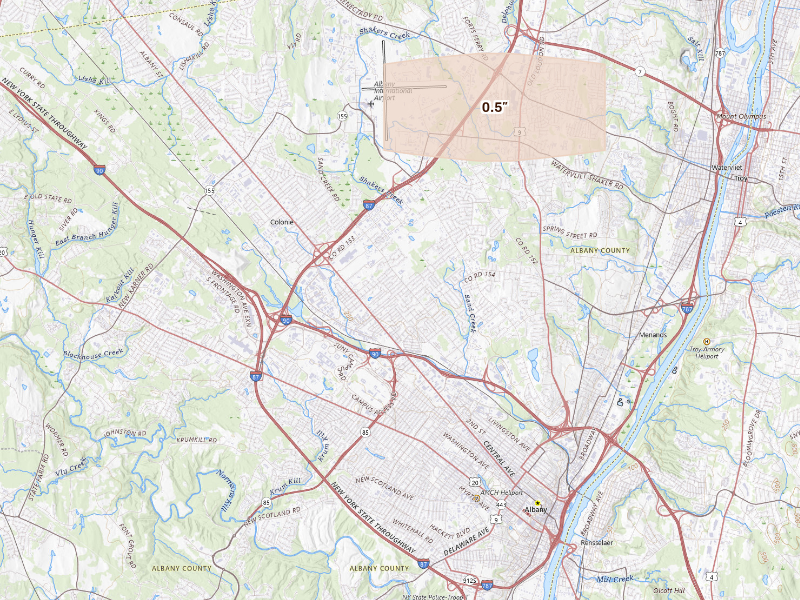
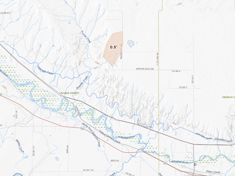
Colorado
2 cities · up to 0.5" · 24 mapped homes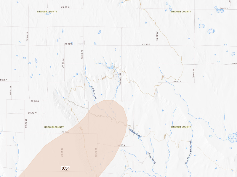
Pennsylvania
2 cities · up to 0.5" · 12 mapped homes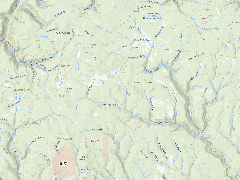
Overview Pro · iPhone + web
One app for your prospecting day.
The hail map, your next recommended area, and the tools to work it. Start on your own; the same subscription also includes access for up to 4 team members.
Overview Pro
One plan · iPhone + webMonthly · US App Store
$149.99 / month
5,000 new addresses per user each month on Pro. Put your 200 trial addresses to work before another week goes to guesswork.
Optional outreach
- + $0.21 per contact returned
- Available homeowner names and phone numbers, with freshness and DNC flags.
- + $0.75 per postcard mailed
- Print, postage, and delivery tracking included.
What's included
Get recommended places to prospect, or draw your own. The same plan gives you the tools to work either one.
- Hail maps, storm history, and live radar
- Curated prospecting recommendations and Quests
- Canvassing sessions and navigation
- Door outcomes, notes, and photos
- Visit history and follow-up Quests
- Alerts for your saved territories
- Polygon and hexagon draw tools
- Saved work areas and address lists
- CSV exports for your dialer or CRM
- XP, levels, and the leaderboard
- Access on iPhone and the web
- Up to 4 team members

7-day free trial in the iPhone app. No card required to start.
Choose whether to subscribe when your trial ends. Paid subscriptions renew monthly. Manage or cancel in your Apple Account settings.
See all pricing and billing details →Web trial: 7 days free. Card required. $150/month after the trial unless cancelled.
The next storm won’t wait for you.
Set your territory and alerts today. When hail hits, use Overview to choose your streets and get moving.
7-day free trial in the iPhone app. No card required to start.
For iPhone. Android coming soon.
Web trial: 7 days free. Card required. $150/month after the trial unless cancelled.